
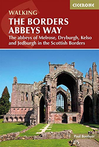
Wandelgids The Borders Abbeys Way - Cicerone
Een 109 km lange afstand pad op het Schotse grensgebied
Korte omschrijving
Wandelgids - The Borders Abbeys Way - Cicerone Productomschrijving: Deze gids brengt u langs een 109 km lange afstand pad op- en rond het Schotse grensgebied. Langs de route bevinden zich 4 ...

Specificaties
- Uitgever: CICERONE Press
- ISBN-13: 9781852849801
- HOOFDCATEGORIEËN: Wandelgids
- Activiteiten: Wandelen, Hiking & Trekking
- Regio: Schotse grenzen
- Land: Schotland
- Lange afstand wandelroutes: The Borders Abbeys Way (109 km)
- Blz.: 96
- Afmeting: 12x17
- Editie: 1
- Taal: Engels
Volledige omschrijving
Wandelgids - The Borders Abbeys Way - Cicerone
Productomschrijving: Deze gids brengt u langs een 109 km lange afstand pad op- en rond het Schotse grensgebied. Langs de route bevinden zich 4 van de beroemste oude Schotse Abbey's. De route start en eindigd in Tweedbank Schotland, en loopt voor zo'n dikke 109 km. De gids beschrijft een dikke 6 etappes en is zeer geschiedenisrijk. Goed voor mensen met een gemiddelde fizieke conditie, en kan bewandeld worden het ganse jaar door..
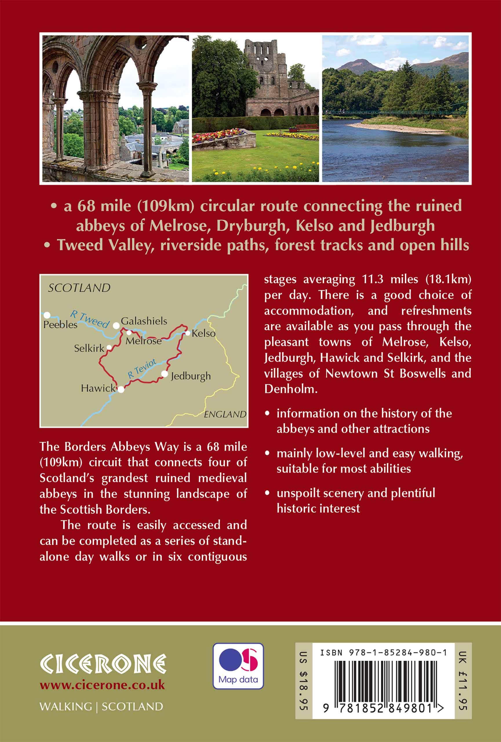
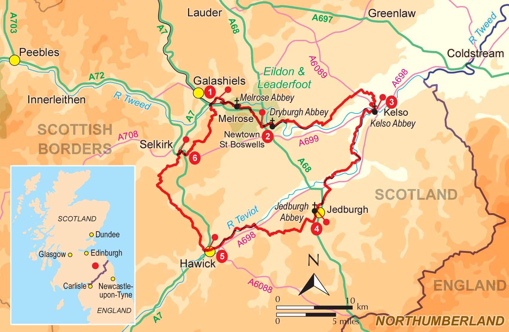
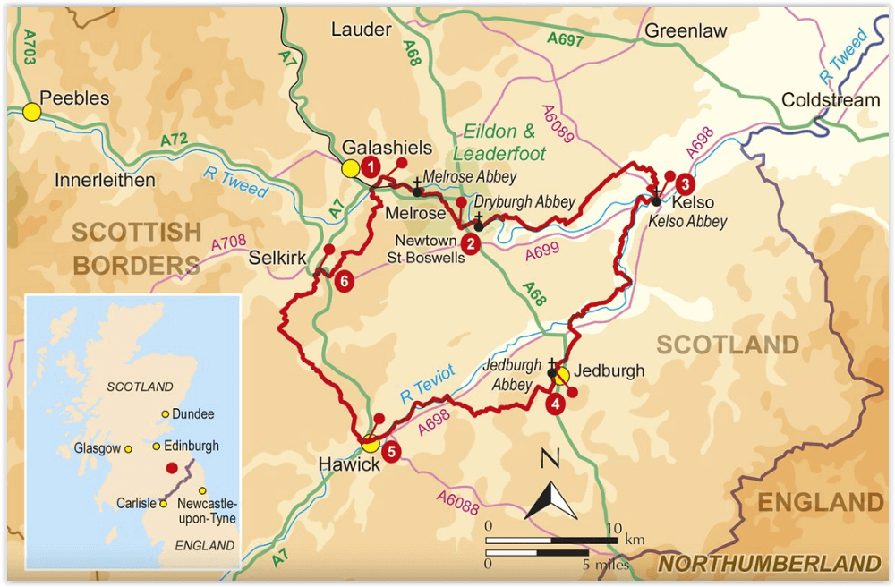
Product description:: Guidebook to the Borders Abbeys Way, a 68 mile circuit in the beautiful Scottish Borders. Taking in four of Britain's grandest ruined medieval abbeys, the route which begins and ends in Tweedbank, is described over 6 stages, and is as rich in history as it is pastoral charm. Relatively flat, it is suitable for people with a moderate level of fitness, and can be undertaken at any time of year.
In addition to clear route description and OS mapping extracts, the guidebook also includes information about the history of the Borders abbeys, the ever-intriguing Borders reivers, and the region's geology and agriculture. Invaluable practical information relating to accommodation, transport, mapping and public access is also included. As historically enchanting as it is visually delightful, the Borders Abbeys Way will connect walkers with a truly fascinating period of history. In fact, some of the paths on the Way are the very same routes that monks used to travel between the Borders abbeys, and no doubt were also used by the notorious reivers.
Artikelen uit dezelfde regio

Wandelkaart 79 Hawick & Eskdale Schotland - OSI • 9780319261774
Wandelkaart Hawick & Eskdale - Schotland Productbeschrijving: OS Landranger kaart 79 omvat Eskdale, Liddesdale and Teviot Dale, plus de stad Hawick. De huidige vallei is een populaire gebied om te wandelen met een aangename dal, en steile beklimmingen. De Head for Hart Fell (808m) voor een boeiende en soms uitdagende ridge wandeling De OS Landranger kaarten reeks heeft betrekking op Gr…

Wandelkaart 73 Peebles- Galashiels & Selkirk - Schotland - OSI • 9780319473962
Wandelkaart Peebles- Galashiels & Selkirk - Schotish Borders Productbeschrijving: Net ten zuiden van de hoofdstad Edinburgh, toont OS Landranger kaart 73, Peebles, Galashiels, Selkirk alsook Yarrow, Zeist, Stow, Eddleston, Swalmen, Langshaw, Melrose, doven Heights, Glenrath Heights, Gladhouse Reservoir en St. Mary's Loch. De Southern Upland Way (en een deel van het pad van de Long Distance…

Wandelkaart 339 Kelso Coldstream & Lower Tweed Valley - OSI • 9780319245910
Wandelkaart Kelso- Coldstream & Lower Tweed Valley - Schotland 339 / Kelso, Coldstream & Lower Tweed Valley, Schottish borders - Kaart nummer 339 dekt Kelso en Coldstream aan de schotse grens. Hoogtepunten zijn het nabijgelegen Northumberland National Park en de Borders Abbeys Way. Omvat ook de rivier Tweed, Newtown St. Boswells, Norham en Doddington. De OS Explorer kaart voor Kelso, Colds…

Wandelgids Hadrian's Wall Path National Trail - Cicerone • 9781786311504
Hadrian's Wall Path National Trail - Cicerone Productomschrijving: Hadrians Wall Path gids om het 135 km lange National Trail te lopen. Beschreven in beide richtingen, is de hoofdbeschrijving van west naar oost tussen Bowness-on-Solway en Wallsend, Newcastle, met uitbreidingen naar Maryport en South Shields. Met uitgebreide historische informatie over dit Werelderfgoed en een apart boekje …

Wandelkaart 338 Galashiels Selkirk & Melrose - OSI • 9780319472101
Wandelkaart Galashiels- Selkirk & Melrose - Scotisch Borders Omvat ook: St-Boswell’s & Lauder. Productbeschrijving: Kaart nummer 338 dekt Galashiels, Selkirk en Melrose. Hoogtepunten zijn onder andere Eilon en Leaderfoot, Southern Upland Way en Borders Abbeys Way. Omvat ook Lauder, St. Boswells, Bloomfield en Fountainhall. De OS Explorer kaart voor Galashiels, Selkirk & Melrose is besc…