
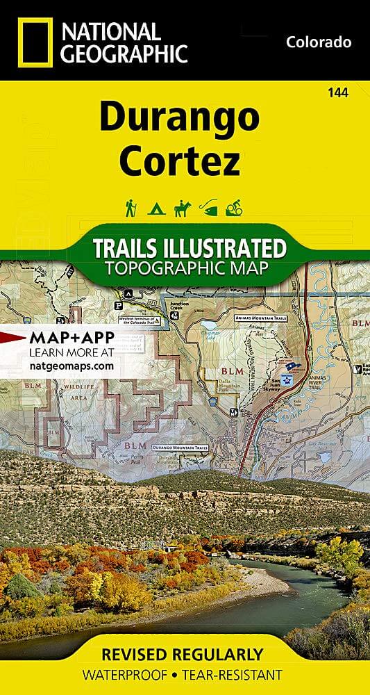
Wandelkaart 144 Durango & Cortez- Colorado - Natgeo
Alle outes in de regio Durango & Cortez in Colorado
Korte omschrijving
TOPO Wandelkaart 144 - Durango & Cortez- Colorado - Natgeo Productomschrijving: Deze kaart biedt u alle soorten routes aan in de regio tussen Durango & Cortez in Colrado. UIteraard hebben wi...

Specificaties
- Uitgever: National Geographic
- ISBN-13: 9781566954631
- HOOFDCATEGORIEËN: Wandelkaart
- Activiteiten: Wandelen, Hiking & Trekking
- Regio: Colorado, USA
- Land: Verenigde Staten van Amerika (USA)
- Schaal: 1:63360
- Afmeting: 10x19
- Taal: Engels
Volledige omschrijving
TOPO Wandelkaart 144 - Durango & Cortez- Colorado - Natgeo
Productomschrijving: Deze kaart biedt u alle soorten routes aan in de regio tussen Durango & Cortez in Colrado. UIteraard hebben wij het hier over de wandelroutes, maar eveneens kan er hier aan moutainbiken worden gedaan, of paardrijden op dezelfde routes.
Engelse omschrijving: National Geographic's Trails Illustrated map of Durango and Cortez provides unparalleled detail of this culturally significant area of southwestern Colorado. Expertly researched and created in partnership with the U.S. Forest Service, the Bureau of Land Management and others, the map will guide you throughout your recreation or adventure in the area, regardless of the season. The map's coverage includes San Juan National Forest, Mesa Verde National Park, McPhee Reservoir and Recreation Area, Animas River and Valley, Canyon of the Ancients National Monument and Durango Mountain Ski Area.
This map can guide you off the beaten path and back again with a wide variety of trails, including trails for hiking, biking and motorized vehicles, plus city and primitive trails, the Animas River Trail and Colorado Trail. The map base includes contour lines and elevations for summits and passes. Recreation and adventure points of interest for all seasons are marked as well, including campgrounds and campsites, alpine and cross-country ski areas, trailheads and interpretive trails, rock climbing and fishing areas, boat launch and whitewater access points, scenic viewpoints and wildlife viewing areas. In addition, the map lists regional attractions along with their descriptions along with useful contact information of both public and private organizations involved in maintaining the region. Every Trails Illustrated map is printed on "Backcountry Tough" waterproof, tear-resistant paper. A full UTM grid is printed on the map to aid with GPS navigation.
Other features found on this map include: Durango, Hesperus Mountain, La Plata Mountains, Mesa Verde National Park, San Juan National Forest, Sharkstooth Peak.
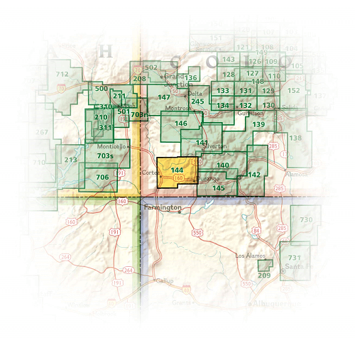
Locatie op kaart
Overzichtskaarten

NAT GEO Colorado trail maps
NAT GEO Colorado trail maps

Producten op de overzichtskaart
Klik op een product om naar de detailpagina te gaan.
- Wandelkaart 110 Leadville & Fairplay - Colorado - Nat Geo
- Wandelkaart 127 Aspen - Independence Pass - Colorado USA
- Wandelkaart 137 Pikes Peak & Cañon City - Nat Geo
- Wandelkaart 138 Sangre de Cristo Mountains - Nat Geo
- Wandelkaart 139 La Garita Caldera - Cochetopa - Nat Geo
- Wandelkaart 140 Weminuche Wilderness Colorado USA - Nat Geo
- Wandelkaart 141 Telluride- Silverton- Ouray & Lake City - Nat Geo
- Wandelkaart 144 Durango & Cortez- Colorado - Natgeo
- Wandelkaart 200 Rocky Mountain NP- Colorado - Nat Geo
- Wandelkaart 208 Colorado National Monument - Natgeo
- Wandelkaart 245 Black Canyon of the Gunnison NP - Natgeo
- Wandelkaart 301 Longs Peak -Trails Illustrated N. Trails - Nat Geo
- Wandelkaart 601 Aspen Local Trails - Nat Geo
Artikelen uit dezelfde regio

Wandelkaart 141 Telluride- Silverton- Ouray & Lake City - Nat Geo • 9781566953405
Wandelkaart Telluride- Silverton- Ouray & Lake City - Nat Geo Productomschrijving: De National Geographic Trails Illustrated kaart van Telluride, Silverton, Ouray, en Lake City is deskundig onderzocht en gemaakt in samenwerking met lokale landbeheerders. Het is een ongeëvenaard hulpmiddel voor het verkennen van deze adembenemende regio van Colorado. Ongeacht het seizoen is deze kaart een h…

Wandelkaart 208 Colorado National Monument - Natgeo • 9781566954013
TOPO Wandelkaart 208 - Colorado National Monument - Natgeo Productomschrijving: recreatie regio's doorheen Colorado's 'Grand Valley' omvatten de steden: Grand Junction, Fruita, Palisade & Loma. Dit veel gebruikte gebied is gekend onder de de mensen die in Colorado wonen. Dit gebied is nationaal bekend voor zijn speciale mountainbiketrails en evengoed gekend voor de start van het Kokepelli …

Wandelkaart 137 Pikes Peak & Cañon City - Nat Geo • 9781566953986
Pikes Peak & Cañon City Colorado - National Geographic Productomschrijving: De hoogste top in de zuidelijke Front Range van de Rocky Mountains, Pikes Peak torent boven Colorado Springs uit als een granieten schildwacht. Verken deze en andere geologische attracties zoals Garden of the Gods, Florrisant Fossil Beds en de Royal Gorge met National Geographic's Trails Illustrated kaart van Pikes…

Wandelkaart 131 Crested Butte- Pearl Pass - Nat geo • 9781566952477
TOPO Wandelkaart 131 - Crested Butte- Pearl Pass Colorado, USA - National geographic Productomschrijving: Crested Butte is een rustige wandel- en MTB uitvalsbasis in Gunnison County, Colorado, United States. Omvat de oude kool industrie, en noemt nu "the last great Colorado ski town". Crested Butte is aeveneens een locatie voor skiërs & mountainbiking, als ook een verzameling van andere ou…

Wandelkaart 127 Aspen - Independence Pass - Colorado USA • 9781566953580
TOPO Wandelkaart 127 - Aspen - Independence Pass - Colorado USA Productomschrijving: Independence Pass in Aspen Colorado is een uitmuntende wandellocatie. Deze omvat een topografische wandelkaart die echt tot de verbeelding spreekt. Een subliem exemplaar als het over wandelen gaat. Engelse omschrijving: Independence Pass, originally known as Hunter Pass, is a high mountain pass in cen…