
Reisgids Scottish Highlands & Islands - Rough guides
A fully updated The Rough Guide to Scottish Highlands
Korte omschrijving
Scottish Highlands & Islands - Rough guides Product description: This fully updated The Rough Guide to Scottish Highlands and Islands is the ultimate guidebook to the captivating remote reac...

Specificaties
- Uitgever: Rough Guides
- ISBN-13: 9780241272312
- HOOFDCATEGORIEËN: Reisgids
- Activiteiten: Toerisme
- Regio: Highlands, Schotland, Inner hybrids (Binnen-Hebriden), Schotland, Outer Hibrids, Schetland Islands
- Land: Schotland
- Blz.: 440
- Afmeting: 13x20
- Editie: 8
- Taal: Engels
Volledige omschrijving
Scottish Highlands & Islands - Rough guides
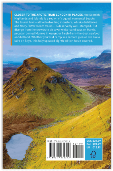
Product description: This fully updated The Rough Guide to Scottish Highlands and Islands is the ultimate guidebook to the captivating remote reaches of Scotland. From the divine seafood offerings at Loch Fyne to the whisky distilleries on Islay, this is a place for indulging. It’s also a hotspot for outdoor activities, whether you decide to bag a Munro or two, hop onto a mountain bike or stroll along deserted (if blustery) golden beaches.
The Rough Guide to Scottish Highlands and Islands contains more information than ever on where to go and what to see in this part of Scotland, with practical information on everything from events listings to transport logistics. There’s also coverage of the brand new North Coast 500 route, which loops around the northernmost reaches of the country.
From Skye’s breathtaking Cuillin ridge to abandoned castles, via riproaring unplanned ceilidhs, this stark and weather beaten part of the planet will not disappoint.
Locatie op kaart
Artikelen uit dezelfde regio

Wandelkaart 441 Lairg- Bonar Bridge & Golspie- Schotland • 9780319246849
Wandelkaart Lairg- Bonar Bridge & Golspie - Highland Schotland Productbeschrijving: Dornoch & Brora. Aan de Moray Firth toont OS Explorer kaart 441, Omvat de route van Brora naar Dornoch en het binnenland van Lairg te Bonar Bridge. Ga op verkenning rond Loch Fleet en Loch Brora of volg de rivier van Loch Shin naar Kyle of Sutherland. De OS Explorer kaart voor Lairg, Bonar Bridge & Gols…

Wandelkaart 446 Durness & Cape Wrath Schotland - OSI • 9780319246894
Wandelkaart Durness & Cape Wrath - Highlands Schotland Productbeschrijving: Kinlochbervie & Rhiconich. 446 / Durness & Cape Wrath, Highlands, Schotland - Kaart nummer 446 omvat Durness en Cape Wrath. Hoogtepunten zijn North-West Sutherland, Loch Eriboll, Kinlochbervie, Kyle van Durness en Sandwood Loch. Omvat ook Rhiconich, Loch nb Gainmhich en Loch Meidaidh. De OS Explorer kaart voor…

Wandelkaart 444 Helmsdale & Strath of Kildonan - OSI • 9780319472965
Wandelkaart Helmsdale & Strath of Kildonan - Highland Schotland Productbeschrijving: OS Explorer kaart 444 toont Strath van Kildonan en Helmsdale. Er was hier iets van een kleine goudkoorts in 1869 - maar als u daar naar op zoek bent zult u nu waarschijnlijk teleurgesteld worden. Ondanks, de ruige landschappen en externe paden nog steeds te vinden zijn. De OS Explorer kaart voor Helmsdale …

Wandelkaart Ben Lomond and Loch Katrine - Harvey maps • 9781851373895
Wandelkaart Ben Lomond and Loch Katrine - Harvey maps Productomschrijving: Doordrenkt van geschiedenis en legende, is Loch Katrine de perfecte plek om uw Trossachs avontuur te beginnen. Neem een minuut, geniet van een hapje, verken ergens de speciale natuur en stilte. Ben Lomond (974 meter) (3.196 ft), is een kenmerkende berg in de Schotse Hooglanden Gelegen aan de oostelijke oever van Loc…

Wandelkaart XT40 - Loch Lomond & The Trossachs - Harvey Maps • 9781851376254
Wandelkaart XT40 - Loch Lomond & The Trossachs - Harvey Maps Productomschrijving: Omvat een groot gebied maar is praktisch en compact, zakformaat. Gedetailleerde kaart voor lopers en wandelaars van het Nationaal Park Loch Lomond & the Trossachs. Bevat de meest zuidelijke Munro van Schotland, Ben Lomond en een inzet kaart voor de toegang tot Ben Vorlich van Loch Earn. Ideaal voor de Great T…