
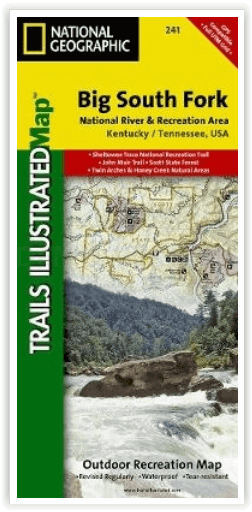
Wandelkaart 241 Big South Fork National Recreation Area - Nat Geo
Daniel Boone National Forest - Pickett State Park - Yahoo Falls
Korte omschrijving
Big South Fork National Recreation Area - Nat Geo Productomschrijving: National Geographic's Trails Illustrated kaart van Big South Fork National River and Recreation Area is een perfecte ka...

Specificaties
- Uitgever: National Geographic
- ISBN-13: 9781566953542
- HOOFDCATEGORIEËN: Wandelkaart
- Activiteiten: Wandelen, Hiking & Trekking
- Regio: Kentucky, USA
- Land: Verenigde Staten van Amerika (USA)
- Schaal: 1:45000
- Afmeting: 11x24
- Taal: Engels
Volledige omschrijving
Big South Fork National Recreation Area - Nat Geo
Productomschrijving: National Geographic's Trails Illustrated kaart van Big South Fork National River and Recreation Area is een perfecte kaart voor alle recreatieve activiteiten in dit prachtige gebied, of het nu gaat om wandelen, fietsen, verkennen, raften, klimmen, kamperen of paardrijden. Deze deskundig onderzochte kaart werd gemaakt in samenwerking met de U.S. Forest Service, National Park Service en anderen. Naast het hele gebied van Big South Fork, beslaat het ook delen van het aangrenzende Daniel Boone National Forest en Pickett State Park. Invoegsels van Yahoo Falls, Blue Heron, Bandy Creek en Leatherwood Ford Areas, geven extra details over deze populaire park locaties. De Big South Fork Cumberland River is gedetailleerd beschreven met kilometerpalen, aangevuld met een tabel van populaire riviertrajecten met hun afstanden, moeilijkheidsgraden en andere rivierinformatie.
Engelse omschrijving: National Geographic's Trails Illustrated map of Big South Fork National River and Recreation Area is a perfect guide for all recreation activities in this stunning area, whether hiking, biking, exploring, rafting, climbing, camping, or horseback riding. This expertly researched map was created in partnership with the U.S. Forest Service, National Park Service and others. In addition to covering the entire area of Big South Fork, it also covers parts of the neighboring Daniel Boone National Forest and Pickett State Park. Inserts of Yahoo Falls, Blue Heron, Bandy Creek and Leatherwood Ford Areas, give additional details to these popular park locations. The Big South Fork Cumberland River is detailed with mileage markers, complemented by a table of popular river runs their distances, difficulty levels and other river information.
Get off the beaten path and back on again by following the map to clearly marked trailheads and then along mapped trails, detailed with mileage indicators and colored according to designated usage. The John Muir and Sheltowee Trace Trails are both highlighted as well. The map also includes contour lines and elevations. Other recreation features on the map include river access points, fishing areas, backcountry lodges, picnic shelters and lookout towers. The map also provides a QR code to assist backcountry hikers register for camping permits. Essential hunting, water, safety and backcountry tips are included as well as useful contact information.
Every Trails Illustrated map is printed on "Backcountry Tough" waterproof, tear-resistant paper. A full UTM grid is printed on the map to aid with GPS navigation. Other features found on this map include: Big South Fork, Daniel Boone National Forest, New River.
Locatie op kaart
Overzichtskaarten

NAT GEO Tennessee
NAT GEO Tennessee

Producten op de overzichtskaart
Klik op een product om naar de detailpagina te gaan.
Artikelen uit dezelfde regio

Wandelkaart 793 Clinch Ranger District USA - Nat Geo • 9781566951500
Clinch Ranger District USA - Nat Geo Productomschrijving: National Geographic's Trails Illustrated kaart van Clinch Ranger District bestrijkt het zuidelijkste deel van Jefferson National Forest dat de grens tussen Virginia en Kentucky en aangrenzende recreatiegebieden doorkruist. Gemaakt in samenwerking met de U.S. Forest Service en anderen, deze deskundig onderzochte kaart is een uitgebre…

Wandelkaart 234 Mammoth Cave NP- Kentucky - Nat Geo • 9781566952361
TOPO Wandelkaart 234 - Mammoth Cave NP- Kentucky - Nat Geo Productomschrijving: Mammoth Cave National Park is een Amerikaans nationaal park in centraal Kentucky. Mammoth Cave beschikt over het grootste door de mens gemaakte cave systeem ter wereld. Engelse omschrijving: The world's longest known cave system, Mammoth Cave is a fascinating and beautiful labyrinth located below the equall…