
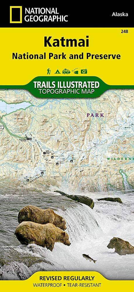
Wandelkaart 248 Katmai NP- Alaska - Nat Geo
Op 450 kilometer ten zuidwesten van de stad Anchorage
Korte omschrijving
TOPO Wandelkaart 248 - Katmai NP- Alaska - Nat Geo Productomschrijving: Katmai National Park is een Amerikaans nationaal park in het zuiden van de staat Alaska, gelegen op het Alaska-schiere...

Specificaties
- Uitgever: National Geographic
- ISBN-13: 9781566952903
- HOOFDCATEGORIEËN: Wandelkaart
- Activiteiten: Wandelen, Hiking & Trekking
- Regio: Alaska, USA
- Land: Verenigde Staten van Amerika (USA)
- Nationale parken: Katmai NP, Alaska USA
- Schaal: 1:300000
- Afmeting: 10x19
- Taal: Engels
Volledige omschrijving
TOPO Wandelkaart 248 - Katmai NP- Alaska - Nat Geo
Productomschrijving: Katmai National Park is een Amerikaans nationaal park in het zuiden van de staat Alaska, gelegen op het Alaska-schiereiland. Het ligt ongeveer 450 kilometer ten zuidwesten van de stad Anchorage. Het gebied is alleen per boot of vliegtuig te bereiken.
Engelse omschrijving: Known for its large population of bears and other native wildlife, the Alaska Peninsula is a popular location for wildlife viewing and other outdoor adventures. National Geographic's Trails Illustrated map of Katmai National Park and Wilderness will guide you to heart of this spectacular area. Created in cooperation with the National Park Service and others, this expertly researched map covers with unparalleled detail not only the entirety of Katmai National Park and Wilderness but also neighboring Katmai National Preserve, Becharof National Wildlife Refuge and Wilderness, McNeil River State Game Sanctuary and Refuge areas, and Shelikof Strait. Inset maps provide extra detail of Alagnak Wild River and Valley of Ten Thousand Smokes.
Arrive in the area using mapped landing areas, seaplane bases and anchorage sites and continue your exploration with mapped hiking trails and primitive routes. Explore the backcountry using the map's contour lines, elevations, labeled peaks and summits, water features, selected waypoints, areas of wooded cover and color-coded boundaries between different land designations. Other recreation and adventure points of interest include ranger stations, campgrounds, trail shelters, public cabins, restrooms and scenic viewpoints. Some additional map features are background information of the various public lands in the area, wilderness safety tips, bear encounter guidelines and essential contact information. Every Trails Illustrated map is printed on "Backcountry Tough" waterproof, tear-resistant paper. A full UTM grid is printed on the map to aid with GPS navigation.
Other features found on this map include: Alagnak River, Alagnak Wild River, Battle Lake, Becharof Lake, Cape Atushagvik, Cape Kubugakli, Cape Kuliuk, Cape Nukshak, Cape Ugyak, Egegik Bay, Egegik River, Hallo Bay, Hook Glacier, Iliuk Arm Naknek Lake, Kamishak Bay, Kamishak River, Katmai National Park, Katmai National Preserve, Kejulik River, King Salmon Creek, King Salmon River, Kiukpalik Island, Kukak Bay, Kukaklek Lake, Kulik Lake, Kvichak Bay, Kvichak River, Lake Brooks, Lake Coville, Lake Grosvenor, Mount Douglas, Mount Katmai, Mount Mageik, Mount Peulik, Naknek Lake, Nonvianuk Lake, North Arm Naknek Lake, Savonoski River, Shaw Island, Snowy Mountain, Uganik Bay.
.png)
Overzichtskaarten

NAT GEO Alaska trails map
NAT GEO Alaska trails map

Producten op de overzichtskaart
Klik op een product om naar de detailpagina te gaan.
- Wandelkaart 231 Kenai Fjords NP- Alaska - Nat Geo
- Wandelkaart 248 Katmai NP- Alaska - Nat Geo
- Wandelkaart 254 Chilkoot Trail - Klondike Gold Rush - Nat Geo
- Wandelkaart 255 Glacier Bay NP- Alaska - Nat Geo
- Wandelkaart 257 Gates of the Arctic NP- Alaska - Nat Geo
- Wandelkaart 760 Kenai National Wildlife Refuge - Alaska - Nat Geo
- Wandelkaart 761 Prince William Sound West - Alaska - Nat Geo
- Wandelkaart 763 Kachemak Bay State Park - Alaska - Nat Geo
Artikelen uit dezelfde regio

Reisgids Alaska - Lonely Planet • 9781787015180
Reisgids Alaska - Lonely Planet Productomschrijving: Alaska is zoals men in de USA zegt, The last frontier", de onherbergzame natuur en bijhorende wildernis. Deze gloed nieuwe Lonely Planet gids, biedt een diepgaande inkijk in het Amerikaanse leven ver weg van Amerika ozgenaamd. Beren groter dan bizons, nationale parken zo groot als naties, en gletsjers groter dan andere Amerikaanse staten…

Wandelkaart 249 Wrangell St.Elias NP - Nat.Geo. • 9781566953825
Wrangell St.Elias NP - National Geographic Productomschrijving: Met 13,2 miljoen hectare, zou Wrangell-St. Elias binnen de grenzen passen van Yellowstone, Grand Canyon, Glacier, Olympic en Yosemite National Parks met zelf nog ruimte over. Het strekt zich uit van een van de hoogste toppen van Noord-Amerika > Mount Stain Elias, tot aan de oceaan. Meer dan een kwart van het park is bedekt met…

Reisgids Alaska - Eyewitness • 9780241411520
Reisgids Alaska - Eyewitness Productomschrijving: Tour the mighty Mendenhall Glacier, ride the Alaska Marine Highway or brave the cold to catch a glimpse of the mesmerising Northern Lights (Aurora Borealis): everything you need to know is clearly laid out within colour-coded chapters. Discover the best of Alaska with this indispensable travel guide. Inside DK Eyewitness Travel Guide Al…

Wandelkaart 764 Chugach State Park- Anchorage - Natgeo • 9781566956789
TOPO Wandelkaart 764 - Chugach State Park- Anchorage - Natgeo Productomschrijving: Chugach State Park omvat een dikke 2004 M² KM, direct ten oosten van Anchorage Bowl in south-central Alaska. Engelse omschrijving: National Geographic's Trails Illustrated map of Chugach State Park and Anchorage combines unmatched detail with helpful information to offer an invaluable tool for making the…

Wandelkaart 761 Prince William Sound West - Alaska - Nat Geo • 9781566954204
TOPO Wandelkaart 761 - Prince William Sound, West - Alaska - National Geographic Productomschrijving: De Prince William Sound is een deel van de Golf van Alaska gelegen ten zuiden van de Amerikaanse staat Alaska. De Prince William Sound heeft een kustlijn van een kleine 5000 kilometer en ligt ten oosten van het Kenai-schiereiland. In het oosten, noorden en westen wordt de Prince William So…