
Reisgids Scottish Highlands & Islands - Rough guides
A fully updated The Rough Guide to Scottish Highlands
Korte omschrijving
Scottish Highlands & Islands - Rough guides Product description: This fully updated The Rough Guide to Scottish Highlands and Islands is the ultimate guidebook to the captivating remote reac...

Specificaties
- Uitgever: Rough Guides
- ISBN-13: 9780241272312
- HOOFDCATEGORIEËN: Reisgids
- Activiteiten: Toerisme
- Regio: Highlands, Schotland, Inner hybrids (Binnen-Hebriden), Schotland, Outer Hibrids, Schetland Islands, Schotland
- Land: Schotland
- Blz.: 440
- Afmeting: 13x20
- Editie: 8
- Taal: Engels
Volledige omschrijving
Scottish Highlands & Islands - Rough guides
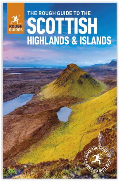
Product description: This fully updated The Rough Guide to Scottish Highlands and Islands is the ultimate guidebook to the captivating remote reaches of Scotland. From the divine seafood offerings at Loch Fyne to the whisky distilleries on Islay, this is a place for indulging. It’s also a hotspot for outdoor activities, whether you decide to bag a Munro or two, hop onto a mountain bike or stroll along deserted (if blustery) golden beaches.
The Rough Guide to Scottish Highlands and Islands contains more information than ever on where to go and what to see in this part of Scotland, with practical information on everything from events listings to transport logistics. There’s also coverage of the brand new North Coast 500 route, which loops around the northernmost reaches of the country.
From Skye’s breathtaking Cuillin ridge to abandoned castles, via riproaring unplanned ceilidhs, this stark and weather beaten part of the planet will not disappoint.
Locatie op kaart
Artikelen uit dezelfde regio

Wandelkaart 69 Isle of Arran Inner Hybrids - OSI • 9780319261675
Wandelkaart Isle of Arran - Inner Hybrids Schotland Productbeschrijving: Het eiland Arran nestelt zich in de Firth of Cylde aan de westkust van Schotland, en is de focus van OS Landranger kaart 69. Arran word geacht de vertegenwoordigen te zijn van al de verschillende soorten landschappen is Schotland, van ruige kusten tot vlaktes en grillige pieken, waardoor het een populaire bestemming i…

Wandelkaart OL39 Loch Lomond North & Tyndrum - OSI • 9780319469576
Wandelkaart Loch Lomond North & Tyndrum - Schotland Omvat ook: Tyndrum, Crianlarich & Arrochar. Productbeschrijving: Kaart nummer 39 OL in de OS Explorer reeks heeft betrekking op het noordelijke gebied van Loch Lomond, op de steden Arrochar, Tyndrum, Ardlui en Crianlarich. Hoogtepunten van het gebied zijn onder andere: Loch Lomond, Ben Lomond, Cruinn een Bheinn, Ben Donich, Ben Glas, …

Wandelkaart 61 Jura & Colonsay - Inner Hybrids - OSI • 9780319473849
Wandelkaart Jura & Colonsay - Inner Hybrids Schotland Productbeschrijving: OS Landranger kaart 61 toont de eilanden Jura en Colonsay in de Binnen-Hebriden aan de westkust van Schotland, evenals een deel van het eiland Islay. De Paps Jura zijn drie heuvels, tot 785m hoog, die het zuidelijke deel van het eiland domineren, met meerdere routes naar een of meer van de pieken. U kunt ook tijd ui…

Wandelgids Walking the Munros Vol 1 - Cicerone Press • 9781786311054
Walking the Munros Vol 1 - Cicerone Productomschrijving: Wandelgids over de Munros in de zuidelijke, centrale en westelijke Highland's. De gids beschrijft 69 uitdagende routes over 139 van de meest iconische 3000f+ bergen in gebieden zoals Glencoe, Bridge of Orchy en Mull. Inclusief routes op Ben More, Ben Alder, Ben Lomond en Ben Nevis, de hoogste berg van de Britse eilanden. Deel 1 van t…

Wandelkaart XT25 Loch Lomond & The Trossachs - Harvey maps • 9781851376445
Loch Lomond & The Trossachs - Harvey maps Productomschrijving: Ideaal om het ganse gebied van de Great Trossachs Forest en Queen Elizabeth Forest Park te ontdekken. Er gaat niets boven een Schots nationaal park. Omvat: Ben Vorlich, Ben Ledi en Ben Venue - 7 Munros, 7 Corbetts en 6 Grahams - Lichtgewicht, gedetailleerd, duidelijk en makkelijk te lezen - Geprint op sterk, 100% wa…