
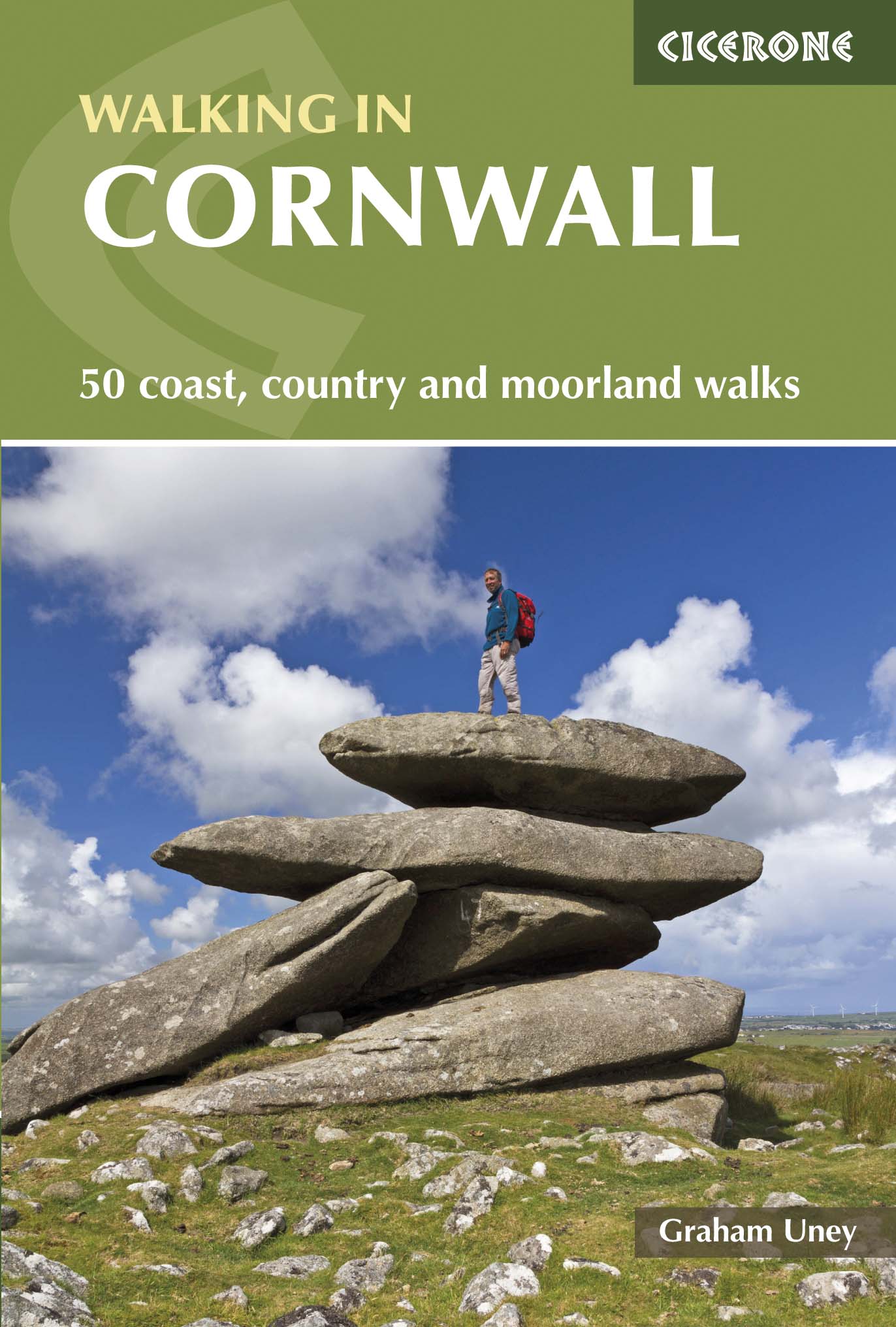
Wandelgids Walking in Cornwall - Cicerone
Wandelingen op Bodmin Moor- Penwith en West Cornwall

Korte omschrijving
Wandelgids - Walking in Cornwall - Cicerone Productomschrijving: Deze gids bevat 40 dagwandelingen in Cornwall. Van korte, eenvoudige wandelingen over lange, wilde routes, genoeg voor zowel ...

Specificaties
- Uitgever: CICERONE Press
- ISBN-13: 9781852846848
- HOOFDCATEGORIEËN: Wandelgids
- Activiteiten: Wandelen, Hiking & Trekking
- Auteur: Graham Uney
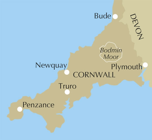
- Regio: Cornwall, England
- Land: England
- Blz.: 160
- Afmeting: 12x17
- Editie: 1
- Taal: Engels
Volledige omschrijving
Wandelgids - Walking in Cornwall - Cicerone
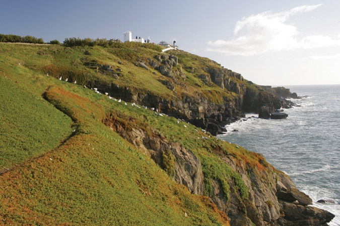
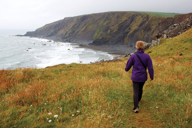
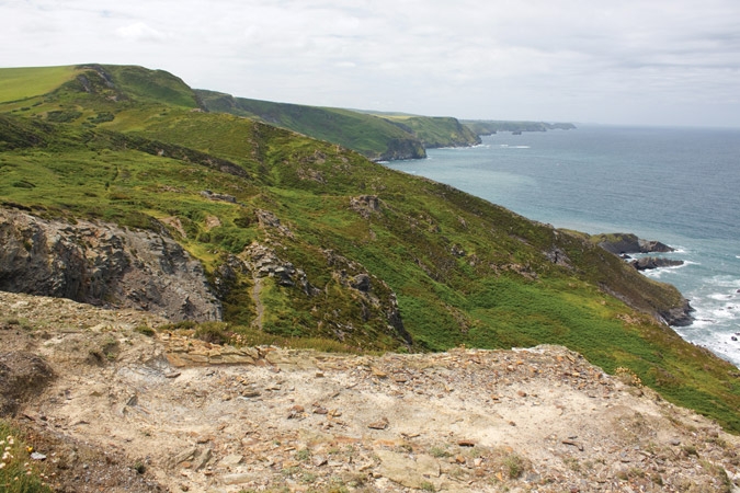
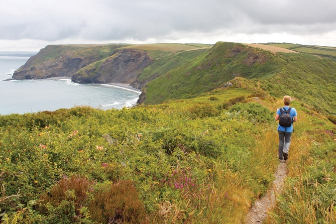
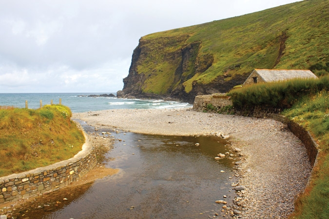
Productomschrijving: Deze gids bevat 40 dagwandelingen in Cornwall. Van korte, eenvoudige wandelingen over lange, wilde routes, genoeg voor zowel gezinnen als ervaren wandelaars. De wandelingen verkennen het interieur en kusten van de streek, met inbegrip van wandelingen door pittoreske dorpjes, oude tin-mijngebieden en de Lizard en de Land's End schiereilanden.
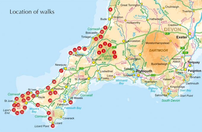
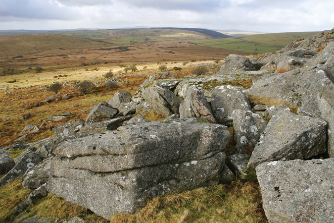
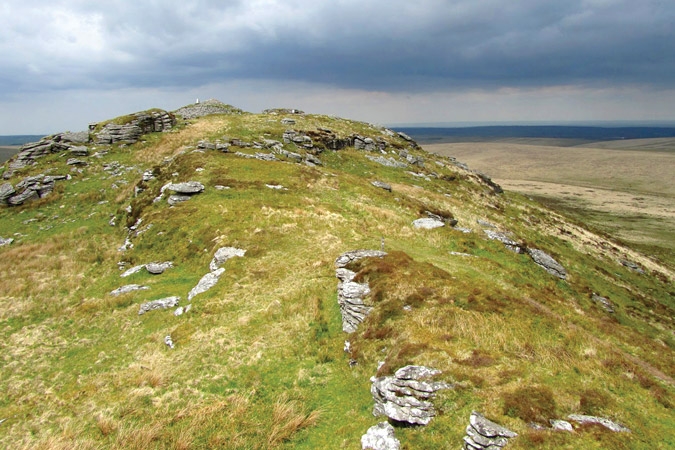
Detail: De gids is onderverdeeld in 6 hoofdstukken, met inbegrip van wandelingen op Bodmin Moor (waarvoor goede navigatie-vaardigheden zijn vereist), de noordkust, Penwith en West Cornwall, de Inland mijnstreken.
Product description: This guidebook includes routes to 40 day walks in Cornwall. From short, easy strolls to longer, wilder routes, there is plenty to appeal to both families and experienced walkers. The walks explore the interior and coasts, including walks through picturesque villages, old tin-mining areas and the Lizard and Land's End Peninsulas.
Seasons:
There really isn't an off-season in Cornwall. The coastal walks are great at any time of year, as are the archaeological sites. Only Bodmin Moor is best left for the summer months.
Centres:
Good bases are St Just, St Ives, Porthleven, St Agnes, St Austell, Padstow, Boscastle and Bude.
Difficulty:
Most of the routes in this book are short easy walks following obvious paths and tracks, although a handful are more challenging. Walking boots and waterproofs are necessary, especially on exposed cliff-top walks, and for all the routes on Bodmin Moor.
Must See:
Explore the amazing cliff-top paths of the Cornish coast. Discover signs of ancient man at scores of archaeological sites. Uncover the history of the Cornish tin mines. Stride out across the wildest parts of Bodmin Moor.

Locatie op kaart
Artikelen uit dezelfde regio

Wandelgids The South West Coast Path - Cicerone Press • 9781786310682
The South West Coast Path - Cicerone Productomschrijving: Omvat spectaculaire plaatsen die dit deel van het Engelse landschap rijk is, zoals Exmoor National Park, met 5 AONB's of Areas of Outstanding Natural Beauty, de Jurassic Coast Natural World Heritage Site. Deze route bestaat al heel lang. De route start of eindigd natuurlijk in Minehead, in Somerset, loopt langs de kust richting de v…

Wandelkaart 112 Launceston & Holsworthy Devon - OSI • 9780319469927
Wandelkaart Launceston & Holsworthy - Cornwall England - OSI Productbeschrijving: Kaart nummer 112 omvat Holsworthy en Launceston. Hoogtepunten zijn Dartmoor National Park, Tamar Valley en Roadford Lake. Omvat ook Sheepwash, Milton Abbot, Lifton en Chapmans Well. De OS Explorer kaart voor Launceston & Holsworthy is beschikbaar in zowel de standaard papieren versie als de weerbestendige 'Ac…

Wandelgids Land's End Circuit Cornwall England - Rucksack Readers • 9781898481928
Wandelgids Land's End Circuit Cornwall England Productomschrijving: Het South West Coast Path is beroemd mooi, maar de langste National Trail van Groot-Brittannië is niet voor angsthazen. Velen worden afgeschrikt door de uitdaging van 630 mijl en 35.000 meter stijgen en dalen. Dus auteur Max Landsberg heeft een 5-daagse proeverij gemaakt, beginnend bij St-Ives om Penzance te bereiken via e…

Reisgids Cornwall & the Isles of Scilly - Go Slow - Bradt guides • 9781804690987
Cornwall & the Isles of Scilly - Bradt guides Productomschrijving: Grondig bijgewerkt en aanzienlijk uitgebreid in deze nieuwe vierde editie, is Bradt's Cornwall & The Isles of Scilly (Slow Travel) de meest gerenommeerde gids voor een blijvend populair Brits graafschap. Het biedt een diepgaande verkenning van zowel vaak bezochte als minder bekende bestemmingen die zowel de lokale bevolking…

Wandelkaart 101 Isles of Scilly- SW England - OSI • 9780319243039
Wandelkaart Isles of Scilly - SW England - Ordnance Servey. Productomschrijving: Isles of Scilly, South West England - Kaart nummer 101 is een all purpose kaart vol gepakt met informatie om u het gebied te helpen leren kennen. De 204 Landranger-kaarten bestrijken het land. Elke kaart heeft een oppervlakte van 40 km door 40 km (25 mijl door 25 mijl) en zoals andere kaarten van Ordnance Surv…