
Mountainbikegids Southern & Central Schotland - Cicerone
Beschrijft 21 mountainbike fietsroutes in Midden- en Z. Schotland
Korte omschrijving
Mountainbikegids - Southern & Central Schotland - Cicerone Productomschrijving: Deze gids beschrijft 21 mountainbike fietsroutes in Midden- en Zuid-Schotland, met inbegrip van de 7 stanes in...

Specificaties
- Uitgever: CICERONE Press
- ISBN-13: 9781852847470
- HOOFDCATEGORIEËN: Fietsgids
- Activiteiten: Fietsen / VTT / MTB
- Regio: Highlands, Schotland
- Land: Schotland
- Blz.: 208
- Afmeting: 12x17
- Editie: 1
- Taal: Engels
Volledige omschrijving
Mountainbikegids - Southern & Central Schotland - Cicerone
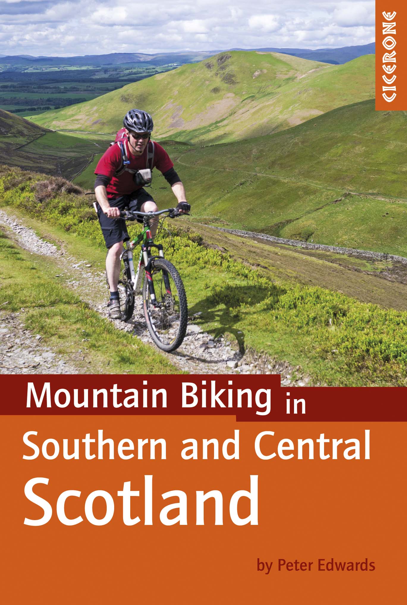
Productomschrijving: Deze gids beschrijft 21 mountainbike fietsroutes in Midden- en Zuid-Schotland, met inbegrip van de 7 stanes in Dumfries and Galloway, en crosscountry-routes in de Campsie Fells, Pentland Hills en Lammermuirs, de Galloway Forest, Tweed Vallei, Cheviots en Lowther Hills. De routes variëren van 16,5 tot 66km ingedeeld van matig tot zeer zwaar.
Productdescription: This guidebook describes 21 mountain biking routes in central and southern Scotland, including the 7stanes in Dumfries and Galloway, and cross country routes in the Campsie Fells, Pentland Hills and Lammermuirs, the Galloway Forest, Tweed Valley, Cheviots and Lowther Hills. The routes range from 16.5 to 66km graded from moderate to very hard.
Seasons:
Dry weather is hard to guarantee in Southern and Central Scotland though summer is the likeliest time for dry trails. However, every season has its charms - so long as rain and mud doesn't scare you - and winter really can be a wonderland.
Centres:
Glasgow, Milngavie, Greenock, Lochwinnoch, Glentrool, New Cumnock, Moniaive, Durisdeer, Wanlockhead, Sanquhar, Hownam, Kirk Yetholm, Peebles, Traquair, Innerleithen, Longformacus, Gifford, Balerno.
Difficulty:
The routes are intended for mountain bikers with at least some experience and a reasonable degree of fitness. There are no 'easy' routes in this guidebook, hence routes are graded 'moderate', 'hard' and 'very hard' Any 'difficult' or 'technical' sections are indicated. The general lack of signposts and other waymarkers endemic to Scotland makes navigation more of a challenge than in other parts of the UK.
Must See:
The Campsie Fells, the Pentland Hills and the Lammermuirs, the Galloway Forest, the Tweed Valley, the Cheviots and the Lowther Hills of Dumfriesshire.
Locatie op kaart
Artikelen uit dezelfde regio


Wandelkaart 411 Skye & Cuillin Hills Highland's - OSI • 9780319246467
Wandelkaart Skye & Cuillin Hills - Highland's Schotland Omvat ook: Soay Productomschrijving: Kaart nummer 411 in de OS Explorer kaart reeks is de perfecte kaart om te gebruiken bij een bezoek aan het eiland Skye, met inbegrip van de Cuillin Hills en Soay. Dit afgelegen gebied doet een beroep op mensen die weg willen van alles, en trekt ook wandelaars en andere liefhebbers van het buite…

Wandelkaart Ben Nevis and Glen Coe Schotland - Harvey maps • 9781851374434
Wandelkaart Ben Nevis and Glen Coe Schotland - Harvey maps Productomschrijving: Verbluffende nieuwe kaart van Ben Nevis en Glen Coe bergen. "Deze uitstekende Ben Nevis en Glen Coe kaart biedt alle details die nodig zijn voor de veilige navigatie op deze iconische bergen". Afgedrukt op polyethyleen - duurzaam, scheurbestendig en 100% waterdicht. Gemaakt in samenwerking met de British Counci…

Wandelkaart 442 Assynt & Lochinver- Schotland - OSI • 9780319472941
Wandelkaart Assynt & Lochinver - Highland's Schotland Omvat ook: Kylesku & Inchnadamph. Productbeschrijving: Van Kylesku tot Lochinver en The Minch, het hele gebied werd aangewezen als een National Scenic Area. Er zijn 2 Munro's is dit gebied - Ben More Assynt staat met zijn 998m op kop. De OS Explorer kaart voor Assynt & Lochinver is beschikbaar in zowel als de standaard papieren vers…

Wandelkaart 436 Beinn Dearg & Loch Fannich Schotland- OSI • 9780319246689
Wandelkaart Beinn Dearg & Loch Fannich - Schotland Productbeschrijving: Ullapool. 436 / Beinn Dearg & Loch Fannich, Highlands Schotland - Een van de meest dunbevolkte gebieden op het Britse vasteland, met 14 Monro's op OS Explorer kaart 436. Waar de pieken samen een cluster vormen, zijn er routes die u toestaan om verschillende toppen op een enkele wandeling te bereiken. De OS Explor…

Wandelkaart 383 Morvern & Lochaline Highland's - OSI • 9780319246290
Wandelkaart Morvern & Lochaline - Highland's Schotland Omvat ook: Kingairloch Productomschrijving: Kaart nummer 383 in de OS Explorer kaarten reeks omvat Morvern en Lochaline in de Schotse Hooglanden. Dit schilderachtige gebied beschikt over vele Lochs om te verkennen, met inbegrip van Loch Linnhe, Loch Aline en Loch Sunart samen met de Sound of Mull. De steden Kingairloch en Lochaline…