
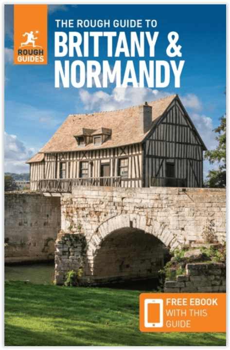
Reisgids Brittany & Normandy - Rough Guides
Mont-St-Michel - Giverny - Carnac

Korte omschrijving
Brittany & Normandy - Rough Guides Productomschrijving: Deze Rough Guide to Brittany & Normandy is het ultieme handboek voor het ontdekken van de twee regio's Kent en Normanidië op de Franse...

Specificaties
- Uitgever: Rough Guides
- ISBN-13: 9781839057908
- HOOFDCATEGORIEËN: Reisgids
- Activiteiten: Toerisme
- Regio: Kent South East England, Normandië, Frankrijk
- Land: England, Frankrijk
- Blz.: 400
- Afmeting: 13x20
- Taal: Engels
Volledige omschrijving
Brittany & Normandy - Rough Guides
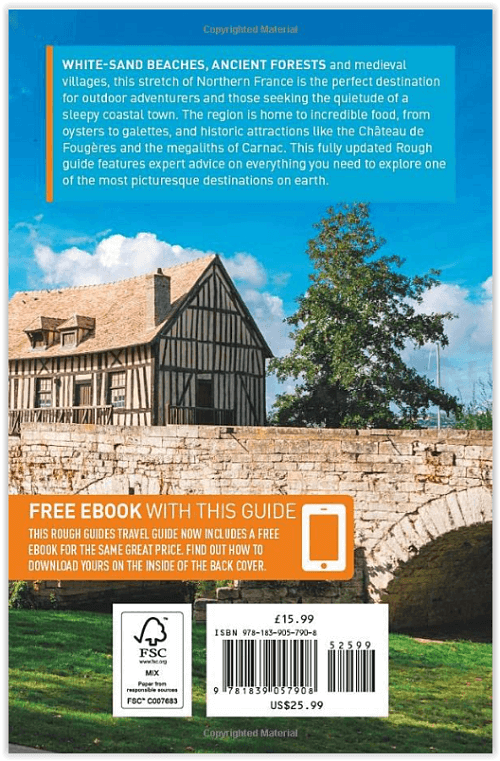
Productomschrijving: Deze Rough Guide to Brittany & Normandy is het ultieme handboek voor het ontdekken van de twee regio's Kent en Normanidië op de Franse kust, van de glorieuze middeleeuwse abdij van Mont-St-Michel tot Monet's waterlelievijver in Giverny en het eeuwenoude Tapijt van Bayeux. Ontdek wandelingen en fietsroutes door oude bossen en langs de prachtige kustlijn, en leer meer over het kenmerkende Bretonse landschap - de ontzagwekkende megalieten van Carnac.
Fijnproevers zullen genieten van een full-colour hoofdstuk over eten in Noord-Frankrijk, terwijl de lezers de weg wordt gewezen naar de beste restaurants en caféterrassen, om nog maar te zwijgen van de levendige festivals en markten. Of u nu op zoek bent naar de beste camping of de meest stijlvolle hotels, u kunt rekenen op accommodatiesuggesties voor elk budget en elke smaak. U vindt praktisch advies over reizen in de regio, van riviercruises tot de SNCF-spoordienst, en de duidelijkste kaarten van alle gidsen. Verken alle hoeken van deze regio met gezaghebbende achtergrondinformatie over alles van de gevarieerde landschappen en wilde dieren in Bretagne en Normandië tot de fascinerende geschiedenis en het muzikale erfgoed.
Engelse omschrijving: The Rough Guide to Brittany & Normandy is the ultimate handbook for discovering the region, from the glorious medieval abbey of Mont-St-Michel to Monet’s waterlily pond at Giverny, and the ancient Bayeux Tapestry. Discover walks and cycle trails through ancient forests and along stunning coastline, and learn more about the defining feature of the Breton landscape – the awe-inspiring megaliths of Carnac.
Foodies will enjoy a full-colour section on Feasting in northern France, while readers are directed to the finest restaurants and café terraces, not to mention lively festivals and markets. Whether you’re looking for the best camping or the most stylish hotels, you can rely on accommodation suggestions for every budget and taste. You’ll find practical advice on travelling around the region, from river cruises to the SNCF rail service, as well as the clearest maps of any guide. Explore all corners of this region with authoritative background on everything from Brittany and Normandy’s varied landscapes and wildlife to its fascinating history and musical heritage.

Artikelen uit dezelfde regio

Wandelkaart 1215 OT Le Mont-St-Michel & Dol-de-Bretagne - IGN • 9782758555827
Wandelkaart Mont-St-Michel & Dol-de-Bretagne - IGN Porductomschrijving: Le Mont-St-Michel in het departement van de Manche in Normandië, is één van de grootste trekpleisters in de geschiedenis van toerisme in Frankrijk. Omvat: Saint-Jean-le-Thomas, Cherrueix, Le Mont-Saint-Michel, Dol-de-Bretagne, Cancale, Roz-Landrieux, Baguer-Pican, Hirel, Saint-Broladre, Saint-Marcan, Roz-sur- Cou…

Wandelkaart 1715 SB Sées & Gace - Bass-Normandie - IGN • 9782758533825
Wandelkaart 1715 SB - Sées & Gace - Bass-Normandie Productomschrijving: Deze topografische kaarten hebben een zeer nauwkeurige gronddetail, niet te vergeten de topografische hoogteprofielen, die het wandelen een stuk gemakkelijker maken. Sées is een gemeente in het Franse departement Orne (regio Laag-Normandië). De gemeente telt 4504 inwoners, en maakt deel uit van het arrondissement Alen…

Wandelkaart 2108 OT Forêt d'Eu & Blangy-sur-Bresle - IGN • 9782758543404
TOPO Wandelkaart Forêt d'Eu & Blangy-sur-Bresle - IGN Productomschrijving: Blangy-sur-Bresle is een gemeente in het Franse departement Seine-Maritime in de regio Normandië. De plaats maakt deel uit van het arrondissement Dieppe. In de gemeente ligt spoorwegstation Blangy-sur-Bresle. Een gloed nieuwe reeks IGN kaarten: de oude versies met de Est en Ouest (E en O aanduiding achter het nu…

Reisgids Kent- Sussex & Surrey - Rough Guides • 9781789195804
Reisgids Kent- Sussex & Surrey - Rough Guides Productomschrijving: The brand-new, full-colour Rough Guide to Kent, Sussex & Surrey is the ultimate guide to this beautiful corner of England, with clear maps and lively accounts of both the big cultural attractions and the smaller, quirkier sights, and full coverage of vibrant Brighton and historic Canterbury. The region is fast gaining a…

Wandelkaart 1913 SB Bernay & Orbec- Haut-Normandie - IGN • 9782758535539
Wandelkaart 1913 SB - Bernay & Orbec- Haut-Normandie Productomschrijving: Deze topografische kaarten hebben een zeer nauwkeurige gronddetail, niet te vergeten de topografische hoogteprofielen, die het wandelen een stuk gemakkelijker maken. Bernay is een gemeente in het Franse departement Eure (regio Haute-Normandie). De plaats maakt deel uit van het arrondissement Bernay. Desciptive p…