
Reisgids Scottish Highlands & Islands - Rough Guides
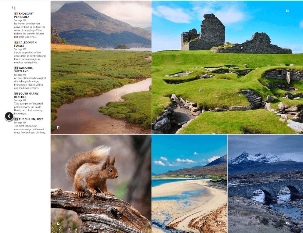
North Coast 500 route - Munro's - Cuillin ridge Isle of Skye
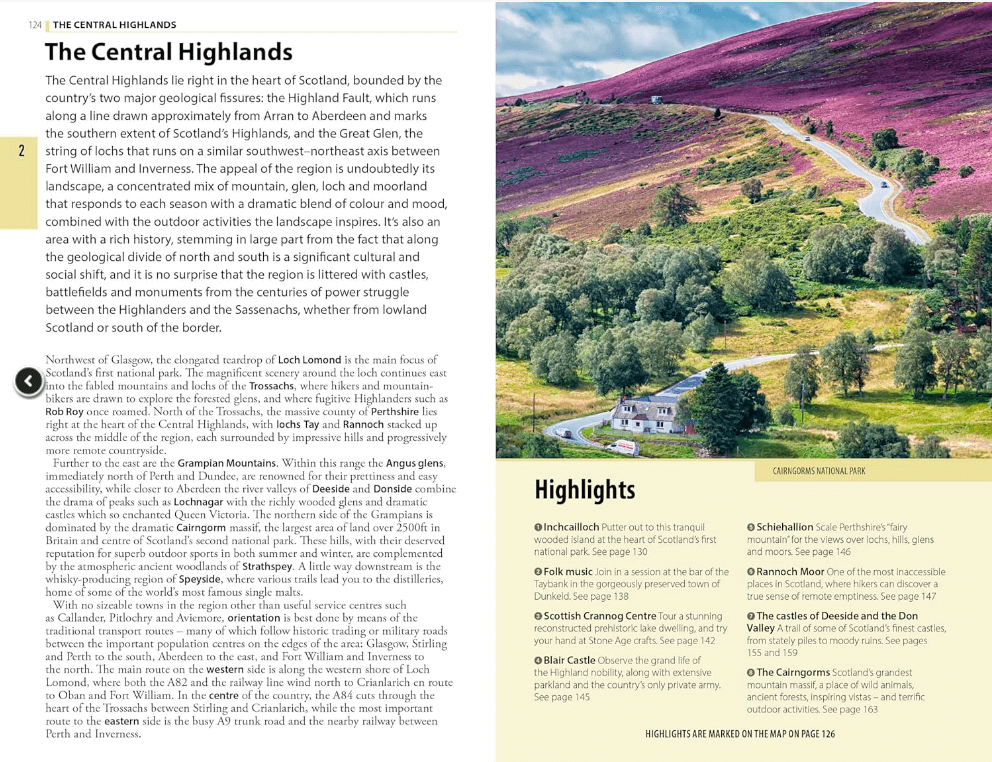
Korte omschrijving
Scottish Highlands & Islands - Rough Guides Productomschrijving: Deze volledig bijgewerkte The Rough Guide to Scottish Highlands and Islands is de ultieme gids voor de fascinerende uithoeken...

Specificaties
- Uitgever: Rough Guides
- ISBN-13: 9781839058639
- Regio: Highlands Noord, Schotland, Highlands, Schotland, Orkney Islands, Schotland, Schetland Islands, Schotland
- Land: Schotland
- Toepasselijke bergketen: Schotse Highlands, Schotland
- Blz.: 440
- Afmeting: 13x20
- Editie: 10
- Taal: Engels
Volledige omschrijving
Scottish Highlands & Islands - Rough Guides
Productomschrijving: Deze volledig bijgewerkte The Rough Guide to Scottish Highlands and Islands is de ultieme gids voor de fascinerende uithoeken van Schotland. Van de goddelijke visgerechten bij Loch Fyne tot de whiskystokerijen op Islay, dit is een plek om je te laten verwennen. Het is ook een hotspot voor buitenactiviteiten, of je nu besluit een Munro of twee te pakken, op een mountainbike stapt of langs verlaten (hoewel winderige) gouden stranden wandelt.
Engelse omschrijving: This fully updated The Rough Guide to Scottish Highlands and Islands is the ultimate guidebook to the captivating remote reaches of Scotland. From the divine seafood offerings at Loch Fyne to the whisky distilleries on Islay, this is a place for indulging. It’s also a hotspot for outdoor activities, whether you decide to bag a Munro or two, hop onto a mountain bike or stroll along deserted (if blustery) golden beaches.
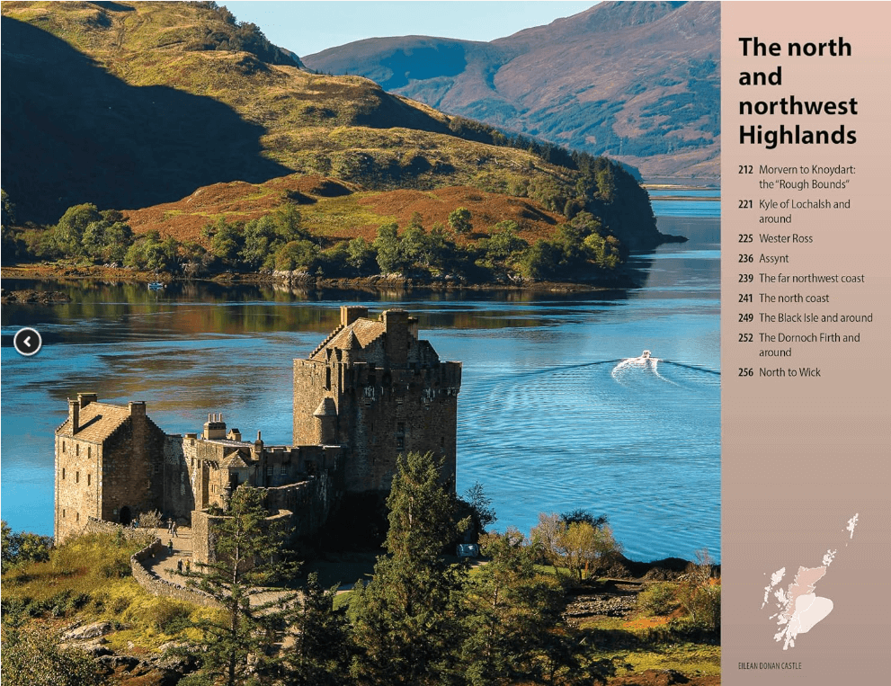
The Rough Guide to Scottish Highlands and Islands contains more information than ever on where to go and what to see in this part of Scotland, with practical information on everything from events listings to transport logistics. There’s also coverage of the brand new North Coast 500 route, which loops around the northernmost reaches of the country.
From Skye’s breathtaking Cuillin ridge to abandoned castles, via riproaring unplanned ceilidhs, this stark and weather beaten part of the planet will not disappoint.
Artikelen uit dezelfde regio

Wandelkaart 26 Inverness & Loch Ness Schotland - OSI • 9780319473498
Wandelkaart Inverness & Loch Ness - Schotland Productbeschrijving: Kaart nummer 26 in de OS Landranger kaarten reeks, is de ideale kaart voor de planning van excursies en vakanties in het Noord Oosten van Schotland. Ontdek het beroemde Loch Ness, en neem de Great Glen way van Inverness te voet. Andere plaatsen in de kaart opgenomen zijn Dingwall, Beauly Firth, Strathglass en Balmacaan Fore…

Wandelkaart 447 Ben hope- Ben Loya & Kyle of Tongue • 9780319246900
Wandelkaart Ben hope- Ben Loyal- Kyle of Tongue - Highlands Productbeschrijving: 447 / Ben hope, Ben Loyal, Kyle of Tongue, Highlands, Schotland - Kaart nummer 447 omvat Ben Hope en Ben Loyal Kyle van tong. Hoogtepunten zijn Beinn Bheag, Loch Meadie en Loch een Dithreibh. Omvat ook Naver Loch, Loch Hope en Beinn Direach. De OS Explorer kaart voor Ben hoop, Ben loyaal & Kyle van tong …

Wandelkaart 444 Helmsdale & Strath of Kildonan - OSI • 9780319472965
Wandelkaart Helmsdale & Strath of Kildonan - Highland Schotland Productbeschrijving: OS Explorer kaart 444 toont Strath van Kildonan en Helmsdale. Er was hier iets van een kleine goudkoorts in 1869 - maar als u daar naar op zoek bent zult u nu waarschijnlijk teleurgesteld worden. Ondanks, de ruige landschappen en externe paden nog steeds te vinden zijn. De OS Explorer kaart voor Helmsdale …

Wandelkaart 430 Loch Monar Glen Cannich Schotland - OSI • 9780319472828
Wandelkaart Loch Monar- Glen Cannich - Highlands Schotland Productbeschrijving: OS Explorer kaart 430 toont Monar Loch, Loch Mullardoch, Glen Cannich en Glen Strathfarrar. Er zijn 9 Munro's in het gebied, maar slechts enkele nederzettingen. De OS Explorer kaart voor Loch Monar, Glen Cannich & Glen Strathfarrar is beschikbaar in zowel de standaard papieren versie als de weerbestendige 'Acti…

Wandelkaart 449 Strath Halladale & Strathy Point - OSI • 9780319473016
Wandelkaart Strath Halladale & Strathy Point - Schotland Omvat ook: Melvich & Forsinard. Productbeschrijving: Aan de Noord kust van Schotland, volgt OS Explorer kaart 449 de Strath Halladale en de Halladale-rivier, en omvat Strathy Point, Melvich en Forsinard. Er zijn talrijke kleine lochs aanwezig, evenals de pieken van Beinn Ratha (242 m) en Channian Hil (302 m). De OS Explorer kaart…