
Wandelkaart XT40 Pennine Way Zuid - Harvey Maps
429 km van Edale in Derbyshire tot Kirk Yetholm
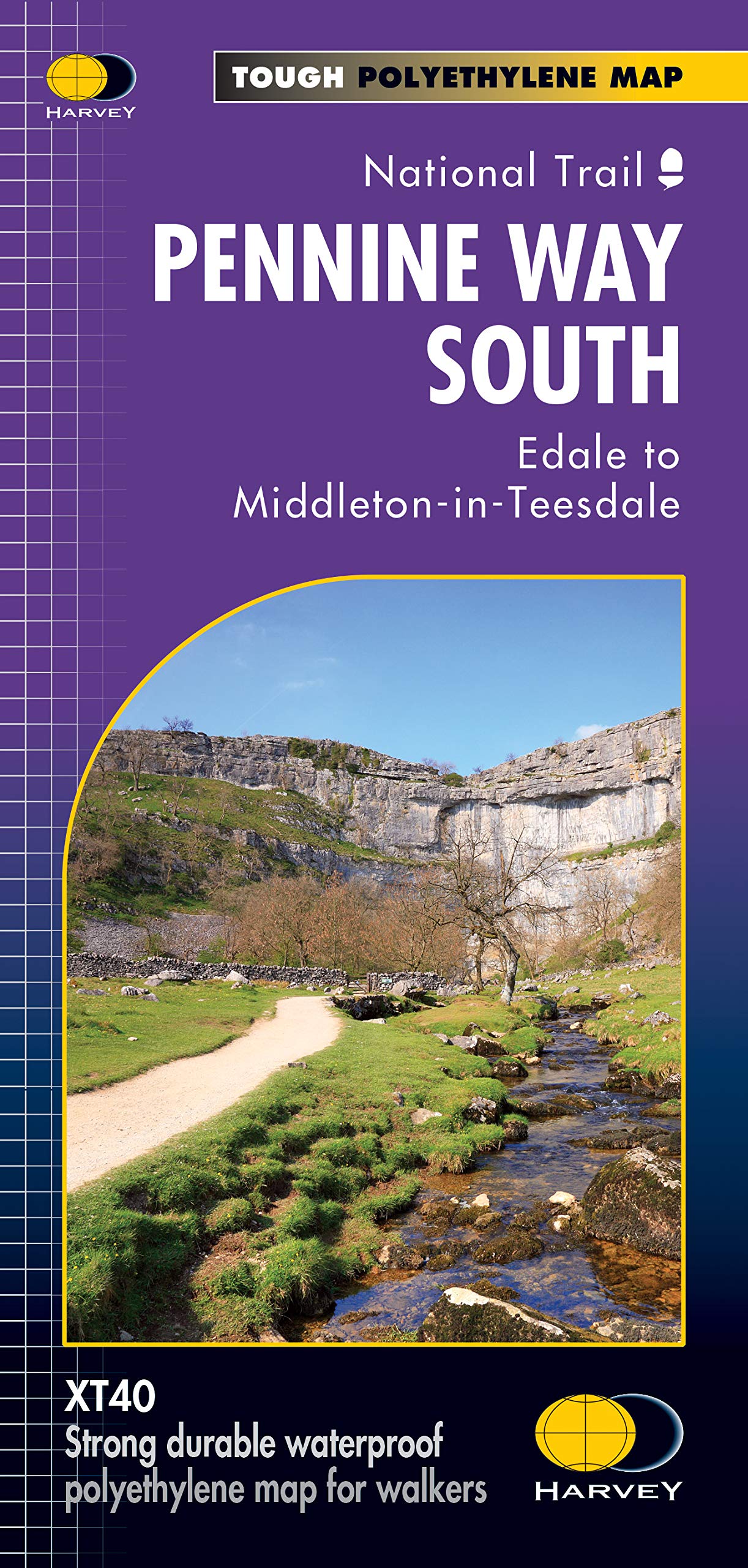
Korte omschrijving
Wandelkaart XT40 - Pennine Way Zuid - Harvey Maps Productomschrijving: Een goede week wandelen op één kaart De Pennine Way is een wandelroute van 429km (268 mile) die van Edale in Derbyshire...

Specificaties
- Uitgever: HARVEY MAPS
- ISBN-13: 9781851376162
- HOOFDCATEGORIEËN: Wandelkaart
- Activiteiten: Wandelen, Hiking & Trekking
- Regio: Derbyshire, England
- Land: England
- Nationale parken: Lake District NP, Cumbria England, Northumberland NP, England
- AONB - Area of Outstanding Beauty: Northern Pennines AONB
- Schaal: 1:40000
- Afmeting: 14x25
- Taal: Engels
- Reeks: Superwalker XT40
Volledige omschrijving
Wandelkaart XT40 - Pennine Way Zuid - Harvey Maps
Productomschrijving: Een goede week wandelen op één kaart De Pennine Way is een wandelroute van 429km (268 mile) die van Edale in Derbyshire tot Kirk Yetholm in het Schotse grensgebied loopt. De route volgt de ruggengraat van Engeland, langs enkele van de mooiste hoge landschappen van het Peak District National Park, langs de Pennine ridge en tot in Northumberland. Een uitdagende route - met ook wat makkelijkere stukken! De Pennine Way is een nationale route. Het is een van de zwaarste lange afstandswandelpaden van het VK en maakt deel uit van het European Footpath Network.
Pennine Way Zuid beslaat de route van Edale naar Middleton-in-Teesdale. Bevat ook veel informatie en nuttige telefoonnummers om de wandelaar bij te staan bij het plannen.
De kaart is sterk, licht, duurzaam en 100% waterbestendig
Inclusief opengestelde wegen
Route duidelijk aangegeven
.png)
Locatie op kaart
Overzichtskaarten

Area's of Outstanding Natural Beauty - AONB's UK
Area's of Outstanding Natural Beauty - AONB's UK

Producten op de overzichtskaart
Klik op een product om naar de detailpagina te gaan.
- Wandelgids - Guide to the Cotswolds AONB - AA
- Wandelkaart 24 - Chilterns AONB - AA
- Fietskaart- en Mtb kaart - The Cotswolds - Goldeneye
- Wandelgids - Cotswold classic walks guidebook - Goldeneye
- Wandelkaart - Cotswold South AONB - Goldeneye
- Wandelgids - Exploring the Cotswolds - Goldeneye
- Wandelgids - Cotswold Classic Walks - Goldeneye
- Wandelkaart - Cotswolds- Malverns & Forest of Dean - Goldeneye
- Wandelgids - The Cotswold Way 30 classic routes - Cicerone
- Wandelgids - Kent walking guide - Cicerone
- Wandelgids - North Downs Way Nat. trail - Cicerone
- Wandelgids - Chilterns walking guide - Cicerone
- Wandelgids - Suffolk coast & Heaths walks - Cicerone
- Wandelgids - North Downs Way - Map Booklet - Cicerone
- Wandelgids - North Pennines AONB walking guide - Cicerone
- Wandelgids - Ridgeway National Trail - Cicerone
- Wandelgids - Forest of Bowland & Pendle - Cicerone
- Wandelgids - Hampshire's Test Way walking guide - Cicerone
- Wandelgids & Fietsgids - The Cotswold AONB - Cicerone
- Wandelgids - Walking on the Gower - Cicerone
- Wandelgids - North Wessex Downs - Cicerone Press
- Wandelgids - Walking on the North Wessex Downs - Cicerone
- Wandelgids - Silverdale & Arnside AONB - Cicerone
- Wandelgids - The Kennet and Avon Canal walking guide - Cicerone
- Wandelgids - North Downs Way- 246 km - Trailblazer
- Wandelkaart OL2 - Yorkshire Dales- Southern & Western Areas - OSI
- Wandelkaart OL19 - Howgill Fells and Upper Eden Valley - OSI
- Wandelkaart OL21 - South Pennines - Yorkshire - OSI
- Wandelkaart OL31 - North Pennines- Teesdale & Weardale - OSI
- Wandelkaart OL40 - The Broads - OSI
- Wandelkaart OL41 - Forest of Bowland & Ribblesdale - OSI
- Wandelkaart OL45 - The Cotswolds AONB- Gloucestershire - OSI
- Wandelkaart 108 - Lower Tamer Valley & Plymouth- Cornwall- OSI
- Wandelkaart 115 - Exmouth & Sidmouth- Devon - OSI
- Wandelkaart 137 - Ashford- Kent downs AONB- England - OSI
- Wandelkaart 140 - Quantock Hills AONB- Somerset - OSI
- Wandelkaart 140 - Quantock Hills AONB & Bridgwater- Devon - OSI
- Wandelkaart 147 - Sevenoaks & Tonbridge- Kent - OSI
- Wandelkaart 164 - Gower AONB & Gwyr- South Wales - OSI
- Wandelkaart 164 - Gower AONB & Gwyr- Wales - OSI
- Wandelkaart 171 - Chiltern Hills West & Henley-on-Thames OSI
- Wandelkaart 171 - Chiltern Hills West AONB- Wycombe - OSI
- Wandelkaart 172 - Chiltern Hills East AONB- Wycombe - OSI
- Wandelkaart 181 - Chiltern Hills AONB North- England - OSI
- Wandelkaart 181 - Chiltern Hills North AONB- Wycombe - OSI
- Wandelkaart 190 - Malvern Hills & Bredon Hill - OSI
- Wandelkaart 190 - Malvern Hills AONB & Bredon Hill - OSI
- Wandelkaart 203 - Ludlow- Shropshire Hills AONB - OSI
- Wandelkaart 217 - Long Mynd & Wenlock Edge- Schropshire- OSI
- Wandelkaart 254 - Lleyn Peninsular East- North Wales - OSI
- Wandelkaart 261 - Boston- Lincolnshire AONB - OSI
- Wandelkaart 262 - Anglesey West- Wales AONB - OSI
- Wandelkaart 263 - Anglesey East AONB- Wales - OSI
- Wandelkaart 273 - Lincolnshire Wolds South AONB - OSI
- Wandelkaart 282 - Lincolnshire Wolds North AONB - OSI
- Wandelkaart 298 - Nidderdale AONB- Yorkshire - OSI
- Wandelkaart 298 - Nidderdale AONB North Yorkshire - OSI
- Wandelkaart 300 - Howardian Hills AONB - OSI
- Wandelkaart 300 - Howardian Hills AONB & Malton - OSI
- Wandelkaart - Mourne Mountains N. Ireland - Harvey maps
- Wandelkaart - Fietskaart Forest of Bowland - Harvey maps
- Wandelkaart XT40 - Anglesey Coastal Path N. Wales - Harvey Maps
- Wandelkaart XT40 - Pennine Way Noord - Harvey Maps
- Wandelkaart XT40 - Pennine Way Zuid - Harvey Maps
- Wandelgids Cotswold - Way Two-way trekking guide - Knife Edge
- Reisgids Oxford & the Cotswolds AONB - Edicola
- Reisgids Cotswolds England - Rough Guides
- Reisgids Go Slow- Sussex & the South Downs- Weald & Coast - Bradt
- Travelguide Oxford & The Cotswolds pocket guide - Lonely Planet
- Wandelgids - The Ridgeway National trail - Trailblazer

Harvey Maps - National Trails
Harvey Maps - National Trails

Producten op de overzichtskaart
Klik op een product om naar de detailpagina te gaan.
- Wandelkaart Cape Wrath Trail North - Schotland - Harvey maps
- Wandelkaart Cape Wrath Durness Schotland - Harvey maps
- Wandelkaart Cleveland Way - Across North York NP - Harvey maps
- Wandelkaart Cotswold Way - Harvey maps
- Wandelkaart Cumbria Way - Harvey maps
- Wandelkaart The Dales Way Yorkshire - Harvey maps
- Wandelkaart East Highland Way - Schotland - Harvey maps
- Wandelkaart Glyndwr's Way Wales - Harvey maps
- Wandelkaart Great Glen Way - Schotland - Harvey maps
- Wandelkaart XT40 Pennine Way Zuid - Harvey Maps
- Wandelkaart XT40 South West Coast Path 1 - Harvey maps
- Wandelkaart XT40 South West Coast Path 2 - Harvey maps
- Wandelkaart XT40 Anglesey Coastal Path N. Wales - Harvey Maps
- Wandelkaart XT40 Offa's Dyke Path - Harvey Maps
- Wandelkaart XT40 Pennine Way Noord - Harvey Maps
- Wandelkaart XT40 ultra Crieff & Comrie & Dunblane - Harvey maps
- Wandelkaart XT40 John o'Groats Trail - Harvey Maps
- Wandelkaart XT40 Wales Coast Path 2 - Caernarfon to Cardigan
- Wandelkaart XT40 Wales Coast Path 3 - Cardigan to LIanelli
- Wandelkaart Rob Roy Way National trail - Harvey maps
- Wandelkaart Shropshire Way National Trail - Harvey maps
- Wandelkaart South Downs Way - Harvey maps
- Wandelkaart Loch Ness Trail South - Harvey maps
- Wandelkaart Speyside Way - Harvey maps
- Wandelkaart St. Cuthbert's Way - Schotland - Harvey maps
- Wandelkaart St-Oswald's Way - Harvey maps
- Wandelkaart Thames Path - Harvey maps
- Wandelkaart Fietskaart Affric Kintail Way - Harvey maps
- Wandelkaart Hadrian's Wall Path - Harvey maps
- Wandelkaart North Downs Way - Harvey maps
- Wandelkaart Pennine Bridleway - Harvey Maps
- Wandelkaart Ridgeway National Trail SE England - Harvey maps
- Wandelkaart Skye Trail - Isle of Skye Schotland - Harvey maps
- Wandelkaart West Highland Way - Harvey maps
Artikelen uit dezelfde regio

Wandelgids The Pennine Way - Cicerone • 9781852849061
Wandelgids - The Pennine Way - Cicerone Productomschrijving: De Pennine Way National Trail met OS kaart boekje. De route van de 320 km van Edale naar Kirk Yetholm duurt drie weken om te lopen en is geschikt voor fit en langeafstand ervaren wandelaars. De route doorkruist het Peak District NP, de Yorkshire Dales NP en de North Pennines nationale parken. Bevat afzonderlijk boekje van de rout…

Fietsgids Peak District cycling - Cicerone • 9781852848781
Fietsgids - Peak District cycling - Cicerone Productomschrijving: Fietsgids over het Peak district, die routes beschrijft in- en rond het National Park, op de weg of op de talrijke fietsroutes. 20 dag routes en één meerdaags fietsroute door het Peak District. Allemaal gemakkelijk toegankelijke routes vanuit Sheffield en Manchester, met routes vanaf het charmante Derbyshire, met steden zoal…

Wandelkaart 269 Chesterfield & Alfreton- Derbyshire - OSI • 9780319471418
Wandelkaart Chesterfield & Alfreton - Derbyshire East Midlands Omvat ook: Sutton in Ashfield & Bolsover. Productbeschrijving: OS Explorer kaart 269 omvat Chesterfield, Sutton in Ashfield en Alfreton. Er vallen een aantal parken om te ontdekken, evenals deel van de Trans Pennine Trail. De Five Pits Trail in Grassmoor is open voor fietsers, wandelaars en ruiters. De OS Explorer kaart voo…

Wandelkaart XT25 Peak District Zuid - Harvey maps • 9781851375523
Wandelkaart - Peak District Zuid - XT25 - Harvey maps Productomschrijving: Het Nationaal park Peak District is een zeer heuvelrijk nationaal park in het noorden van Engeland. Meestal wordt het onderverdeeld in het noordelijke Dark Peak, waar vooral veel heidegebieden zijn, en het zuidelijke White Peak, waar de meeste mensen wonen. Het is een bekend recreatiegebied en een plaats om bepaalde…

Wandelkaart OL24 Peak District & White Peak area - OSI • 9780319475720
Wandelkaart Peak District & White Peak area - Engels Productomschrijving: Kaart nummer OL 24 in de OS Explorer-serie beslaat het Peak District-gebied rond Buxton, Bakewell, Matlock en Dove Dale en is de perfecte kaart om te gebruiken bij het verkennen van het White Peak-gebied. Het landschap is een traktatie voor buitenenthousiasten die de ontsluitingen van lichtgekleurde kalksteen kunnen …