
Wandelgids Walking the Jurassic Coast - Cicerone
30 wandelingen langs de Jurassic Coast van Devon en Dorset

Korte omschrijving
Wandelgids - Walking the Jurassic Coast - Cicerone Discover the Jurassic Coast of Devon and Dorset with a Cicerone guide. Productomschrijving: Deze gids bevat 30 wandelingen naar de Jura...

Specificaties
- Uitgever: CICERONE Press
- ISBN-13: 9781852847418
- HOOFDCATEGORIEËN: Wandelgids
- Activiteiten: Wandelen, Hiking & Trekking
- Auteur: Ronald Turnbull
- Regio: Devon, England, Dorset, England
- Land: England
- Blz.: 240
- Afmeting: 12x17
- Editie: 1
- Taal: Engels
Volledige omschrijving
Wandelgids - Walking the Jurassic Coast - Cicerone
Discover the Jurassic Coast of Devon and Dorset with a Cicerone guide.
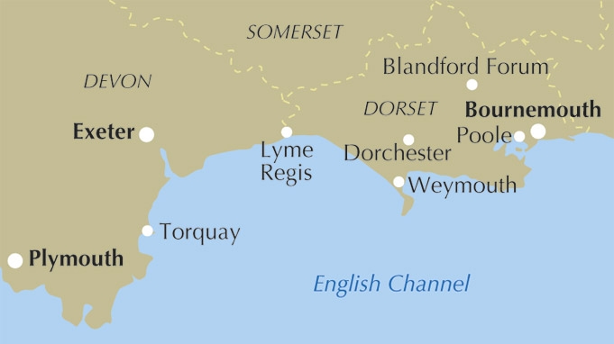
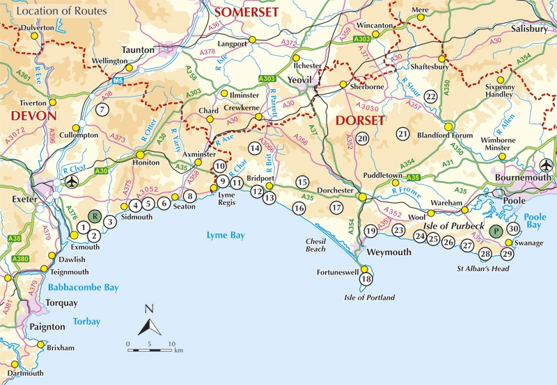
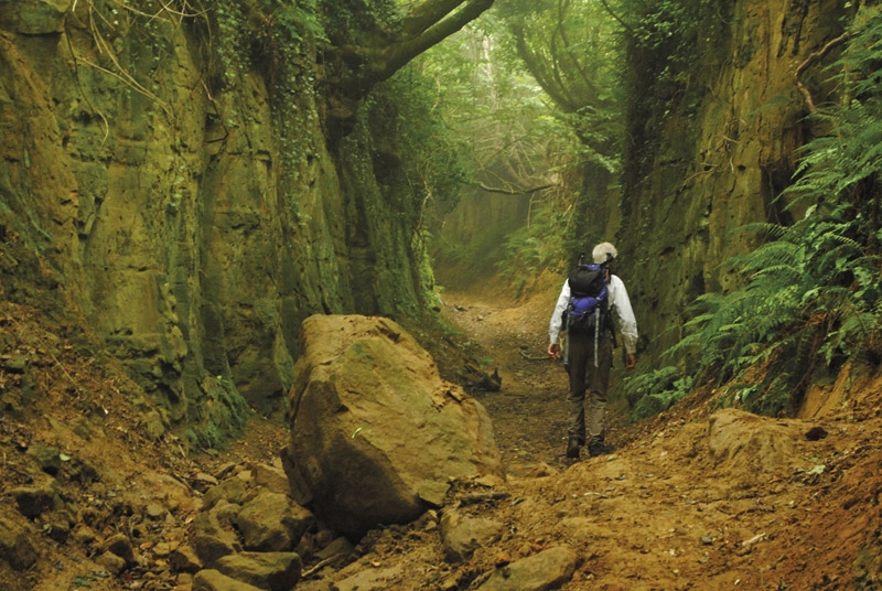
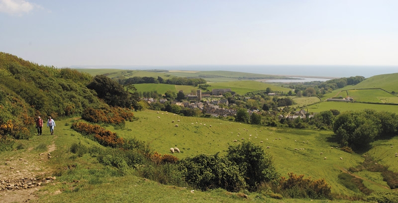
Productomschrijving: Deze gids bevat 30 wandelingen naar de Jurassic Coast van Devon en Dorset. Dekking van de kust tussen Exmouth en Bournemouth, deze prachtige routes variëren van 3 tot 16 mijl (5 tot 24km). De gids verkent en geeft uitleg over de spectaculaire geologie van een stuk Werelderfgoed met duidelijke, gemakkelijk te begrijpen beschrijving, doorsneden en tijdlijnen. De Jurasic Coast heeft zijn naam niet gestolen.
Product description: This guidebook includes 30 walks on the Jurassic Coast of Devon and Dorset. Covering the coast between Exmouth and Bournemouth, these delightful routes range from 3 to 16 miles (5 to 24km), exploring and explaining the spectacular geology of this World Heritage area with clear, easily understood descriptions, cross-sections and timelines.
Seasons:
Year-round. Late July and August can be busy on beaches and car parks. Winter (October to March) has more challenging weather and can be muddy underfoot.
Centres:
Budleigh Salterton, Sidmouth, Beer/Seaton, Lyme Regis/Charmouth, Bridport, Dorchester, Portland, Cerne Abbas, Lulworth, Swanage.
Difficulty:
Most walks are on good, clear paths. Coast path ascents and descents can be steep but are short. The longer walks, up to 28km, require physical fitness but many shorter ones allow time for studying the rockforms and fossils.
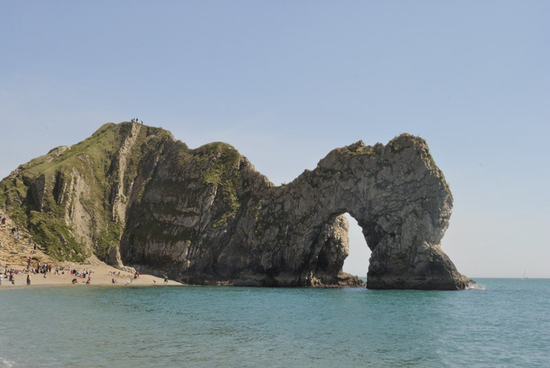
Must See:
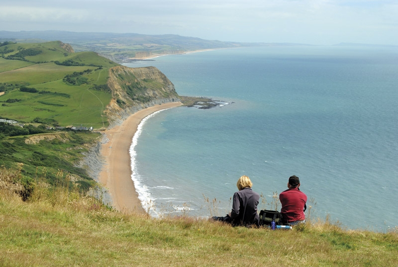
Nearly 100 miles of clifftops. Fossil-hunting at Lyme Regis. The quartzite pebbles of Budleigh Salterton. Tree trunks of 150 million years ago at Lulworth Cove. The Cretaceous sea that carved right across England. Chalk downland and a rude man at Cerne Abbas. The Purbeck crumple zone caused by Italy's impact with Europe.
Locatie op kaart
Artikelen uit dezelfde regio

Wandelgids SWCP part 3 - Dorset & South Devon - Trailblazer • 9781912716340
Wandelgids SWCP part 3 - Dorset & South Devon - Trailblazer Productomschrijving: Dorset & South Devon Coast Path (South-West Coast Path Part 3) This guide covers the third and last section of the South West Coast Path, from Plymouth to Poole Harbour (217 miles). This beautiful route includes 95 miles within England’s only Natural World Heritage Site, the Jurassic Coast, and passes dram…

Wandelkaart XT40 Ultra - Dartmoor NP Noord - Harvey Maps • 9781851376322
Wandelkaart XT40 Ultra - Dartmoor NP Noord - Harvey Maps Productomschrijving: Omvat een groot gebied, maar de kaart is wel zeer praktisch en compact en in zakformaat - De kaart omvat gedetailleerde informatie voor lopers en wandelaars van het noordelijk deel van Dartmoor National Park. Omvat eveneens Dartmoor's bekende Tors waaronder Haytor Rocks, Yes Tor & High Willhays. Archaeologisc…

Reisgids Devon & Cornwall - Rough Guides • 9780241270325
Reisgids Devon & Cornwall - Rough Guides Productomschrijving: The Rough Guide to Devon and Cornwall is the perfect companion to your trip to this captivating peninsula, introducing you to the charms of gentle, pastoral Devon and wild, craggy Cornwall. Both counties will tempt you outside to enjoy their mild climate, with everything from hikes over Dartmoor and surfing off Newquay to puffi…

Wandelkaart XT25 Noord Dartmoor NP Devon - Harvey Maps • 9781851375660
Wandelkaart XT25 - Noord Dartmoor NP, Devon - Harvey Maps Productomschrijving: Het geheel van Dartmoor nationaal park, op twee kaart zijden - dit is het noordelijk gedeelte van het bos. Dartmoor is beroemd van de Tors met inbegrip van Sport rotsklimmen en ja Tor. Het formaat geeft meer toewijzing op het blad zonder de kaart zwaar en volumineus te maken. De vouw is ontwikkeld zodat u rechts…

Wandelkaart 194 Dorchester & Weymouth Dorset - OSI • 9780319475171
Wandelkaart Dorchester & Weymouth - England Productbeschrijving: Landranger kaart 194 behandelt de zandstranden en de glooiende heuvels van kust Dorset. U kunt het South West Coast Path nemen voor mooie uitzichten, over langs het kanaal en de verschillende geologie van de Jurassic kustlijn en de kalksteen Isle of Portland. De OS Landranger kaarten reeks heeft betrekking op Groot-Britta…