
Wandelkaart 1303 Colorado 14ers- Zuid - Nat geo
De 14 meest indrukwekkende bergmassieven in Zuid Colorado
Korte omschrijving
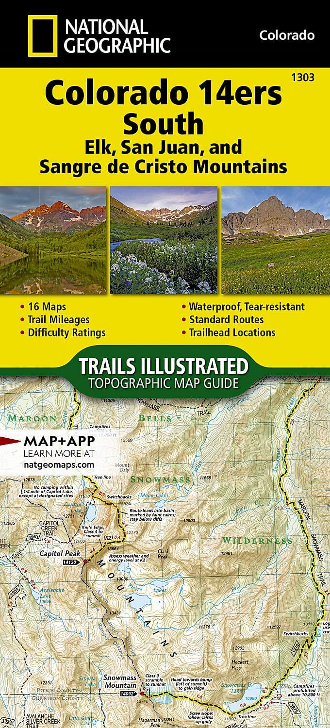
TOPO Wandelkaart 1303 - Colorado 14ers- Zuid - Natgeo Productomschrijving: De colorad 14'ers Zuid, zijn de 14 meest indrukwekkende bergmassieven in het zuiden van Colorado. De locatie is ond...

Specificaties
- Uitgever: National Geographic
- ISBN-13: 9781566957007
- HOOFDCATEGORIEËN: Wandelkaart
- Regio: Colorado, USA
- Land: Verenigde Staten van Amerika (USA)
- Blz.: 44
- Schaal: 1:63360
- Afmeting: 10x19, 11x24
- Taal: Engels
Volledige omschrijving
TOPO Wandelkaart 1303 - Colorado 14ers- Zuid - Natgeo
Productomschrijving: De colorad 14'ers Zuid, zijn de 14 meest indrukwekkende bergmassieven in het zuiden van Colorado. De locatie is onderverdeeld in drie regio's zoals: De Elk Range, San Juan Range & Sangre De Cristo Range.
Elk Range: Capitol Peak, Castle Peak, Conundrum Peak, Maroon Peak, North Maroon Peak, Pyramid Peak, Snowmass Mountain.
San Juan Range: El Diente Peak, Mount Eolus, North Eolus, Handies Peak, Redcloud Peak, San Luis Peak, Mount Sneffels, Sunlight Peak, Sunshine Peak, Uncompahgre Peak, Wetterhorn Peak, Mount Wilson, Wilson Peak, Windom Peak.
Sangre De Cristo Range: Blanca Peak, Challenger Point, Crestone Needle, Crestone Peak, Culebra Peak, Ellingwood Point, Humboldt Peak, Kit Carson Peak, Mount Lindsey, Little Bear Peak.
Engelse omschrijving: Colorado has the highest mean elevation of any state in the United States. It's home to 58 mountain peaks higher than 14,000 feet—more than any other state in the U.S—making it a mountain sports mecca. "Bagging" these fourteeners is a goal for many Coloradans and visitors to the state—and for some, it's an obsession.
The Colorado 14ers South Topographic Map Guide provides the most accurate and convenient set of maps for the fourteeners of the Elk, San Juan, and Sangre de Cristo ranges of southern Colorado. These peaks are generally more difficult than their northern counterparts in the Front, Mosquito, Tenmile, and Sawatch Ranges. Even the easier exceptions, such as Humboldt, Sunshine, Redcloud, and Handies Peaks have their unforgiving slopes.
Crestone Peak and Little Bear in the Sangre de Cristos, along with Capitol Peak and the Maroon Bells in the Elk Range, are often in the running when talk turns to the "hardest" fourteener. Given such subjective elements as physical conditioning, skill of party members, weather and season, there is no definitive answer, but all deserve the utmost respect and attention to route finding.
.png)
Locatie op kaart
Artikelen uit dezelfde regio

Wandelkaart 139 La Garita Caldera - Cochetopa - Nat Geo • 9781566953399
TOPO Wandelkaart 139 - La Garita Caldera - Cochetopa - National Gepgraphic Productomschrijving: La Garita Caldera is de krater van een grote dode vulkaan in het zuidwesten van Colorado in de Verenigde Staten. De caldera, een ringvormige bergketen die centraal binnen een cluster van kleinere caldera's ligt, maakt deel uit van het San Juan Gebergte in de Rocky Mountains. Engelse omschrij…

Wandelkaart 101 Cache La Poudre- Big Thompson Colorado - Nat Geo • 9781566953900
Cache La Poudre, Big Thompson Colorado - Nat Geo Productomschrijving: Canyon Lakes Ranger District, dat is het bezienswaardige bosgebied, of zeg maar wildernis gebied dat naast Fort Collins Colorado ligt. Outdoor enthousiastelingen die willen genieten van de recreatieve mogelijkheden net ten oosten van Rocky Mountain National Park zullen National Geographic's Trails Illustrated kaart van C…

Wandelkaart 138 Sangre de Cristo Mountains - Nat Geo • 9781566953511
Sangre de Cristo Mountains - Great Sand Dunes NP & Preserve Productomschrijving: Verken de kroon van de zuidelijke Rockies en het wonder van de Great Sand Dunes met National Geographic's Trails Illustrated kaart van Sangre de Cristo Mountains. Gemaakt in samenwerking met lokale land management agentschappen, deze deskundig onderzochte kaart levert ongeëvenaarde details en nuttige informati…

Wandelkaart 144 Durango & Cortez- Colorado - Natgeo • 9781566954631
TOPO Wandelkaart 144 - Durango & Cortez- Colorado - Natgeo Productomschrijving: Deze kaart biedt u alle soorten routes aan in de regio tussen Durango & Cortez in Colrado. UIteraard hebben wij het hier over de wandelroutes, maar eveneens kan er hier aan moutainbiken worden gedaan, of paardrijden op dezelfde routes. Engelse omschrijving: National Geographic's Trails Illustrated map of D…

Wandelkaart 103 Winter Park, Central City & Rollins Pass • 9781566952767
Wandelkaart Winter Park, Central City & Rollins Pass Productomschrijving: National Geographic's Trails Illustrated kaart van Winter Park, Central City en Rollins Pass biedt ongeëvenaarde details voor outdoor enthousiastelingen die het hele jaar door willen genieten van de recreatieve mogelijkheden in de zuidelijke delen van Roosevelt en Arapaho National Forest. Deskundig onderzocht en gema…