
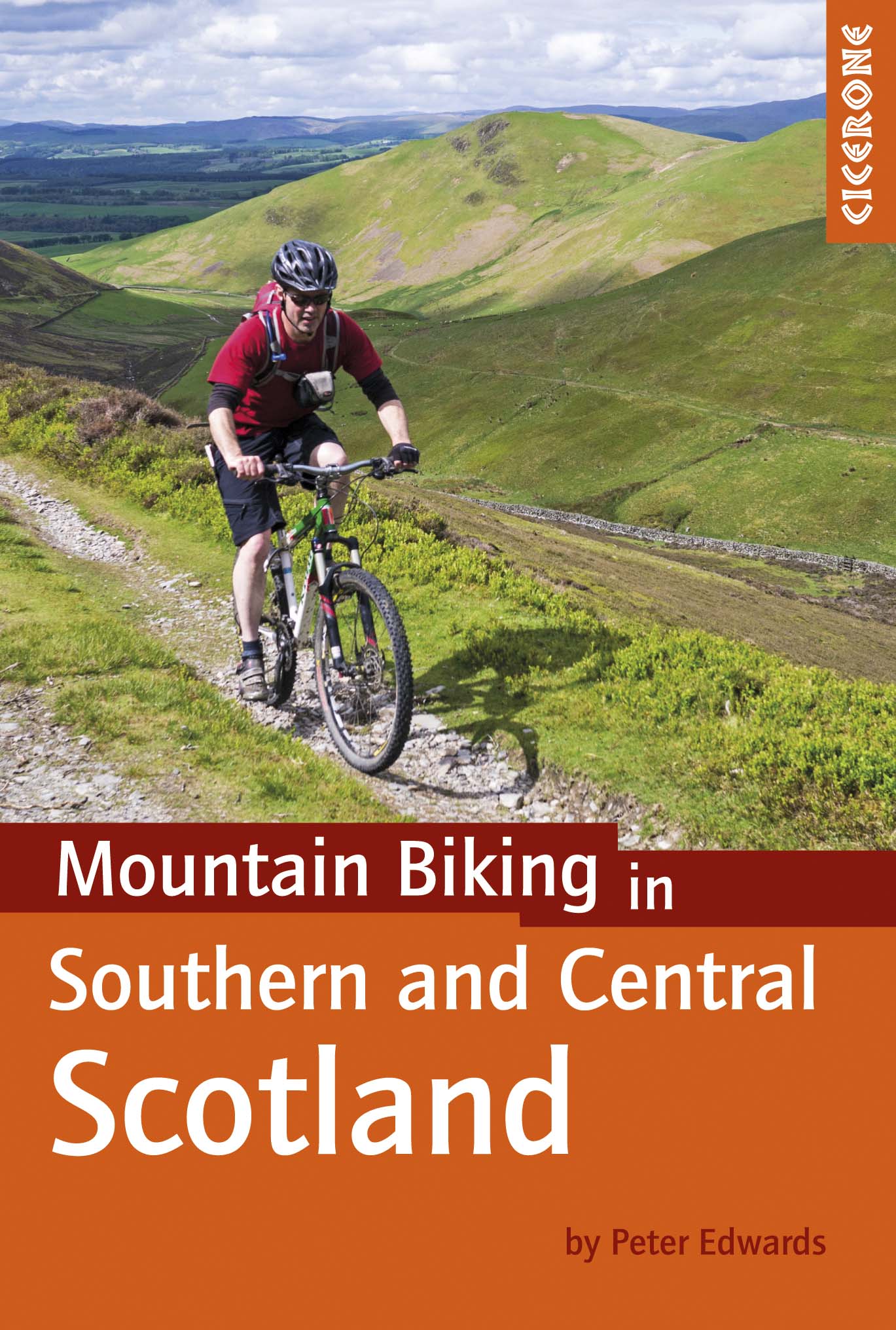
Mountainbikegids Southern & Central Schotland - Cicerone
Beschrijft 21 mountainbike fietsroutes in Midden- en Z. Schotland
Korte omschrijving
Mountainbikegids - Southern & Central Schotland - Cicerone Productomschrijving: Deze gids beschrijft 21 mountainbike fietsroutes in Midden- en Zuid-Schotland, met inbegrip van de 7 stanes in...

Specificaties
- Uitgever: CICERONE Press
- ISBN-13: 9781852847470
- HOOFDCATEGORIEËN: Fietsgids
- Activiteiten: Fietsen / VTT / MTB
- Regio: Highlands, Schotland
- Land: Schotland
- Blz.: 208
- Afmeting: 12x17
- Editie: 1
- Taal: Engels
Volledige omschrijving
Mountainbikegids - Southern & Central Schotland - Cicerone
Productomschrijving: Deze gids beschrijft 21 mountainbike fietsroutes in Midden- en Zuid-Schotland, met inbegrip van de 7 stanes in Dumfries and Galloway, en crosscountry-routes in de Campsie Fells, Pentland Hills en Lammermuirs, de Galloway Forest, Tweed Vallei, Cheviots en Lowther Hills. De routes variëren van 16,5 tot 66km ingedeeld van matig tot zeer zwaar.
Productdescription: This guidebook describes 21 mountain biking routes in central and southern Scotland, including the 7stanes in Dumfries and Galloway, and cross country routes in the Campsie Fells, Pentland Hills and Lammermuirs, the Galloway Forest, Tweed Valley, Cheviots and Lowther Hills. The routes range from 16.5 to 66km graded from moderate to very hard.
Seasons:
Dry weather is hard to guarantee in Southern and Central Scotland though summer is the likeliest time for dry trails. However, every season has its charms - so long as rain and mud doesn't scare you - and winter really can be a wonderland.
Centres:
Glasgow, Milngavie, Greenock, Lochwinnoch, Glentrool, New Cumnock, Moniaive, Durisdeer, Wanlockhead, Sanquhar, Hownam, Kirk Yetholm, Peebles, Traquair, Innerleithen, Longformacus, Gifford, Balerno.
Difficulty:
The routes are intended for mountain bikers with at least some experience and a reasonable degree of fitness. There are no 'easy' routes in this guidebook, hence routes are graded 'moderate', 'hard' and 'very hard' Any 'difficult' or 'technical' sections are indicated. The general lack of signposts and other waymarkers endemic to Scotland makes navigation more of a challenge than in other parts of the UK.
Must See:
The Campsie Fells, the Pentland Hills and the Lammermuirs, the Galloway Forest, the Tweed Valley, the Cheviots and the Lowther Hills of Dumfriesshire.
Locatie op kaart
Artikelen uit dezelfde regio

Reisgids Scottish Highlands & Islands - Rough guides • 9780241272312
Scottish Highlands & Islands - Rough guides Product description: This fully updated The Rough Guide to Scottish Highlands and Islands is the ultimate guidebook to the captivating remote reaches of Scotland. From the divine seafood offerings at Loch Fyne to the whisky distilleries on Islay, this is a place for indulging. It’s also a hotspot for outdoor activities, whether you decide to bag …

Wandelkaart 20 Beinn Dearg & Loch Broom Highlands - OSI • 9780319473436
Wandelkaart Beinn Dearg & Loch Broom - Highland's Schotland Productbeschrijving: OS Landranger kaart 20, beslaat het gebied ten noorden van de Schotse steden Acanalt, Grudie en Garve. Afgezien van de belangrijkste A835 heeft het gebied een paar hedendaagse tekenen van menselijke bewoning. De ervaren explorer krijgt de kans om hun eigen routes uit te zetten over dit landschap. De OS Lan…

Wandelkaart 400 Loch Lochy & Glen Roy Highlands - OSI • 9780319246405
Wandelkaart Loch Lochy & Glen Roy - Highlands Schotland Omvat ook: Spean Bridge, Invergarry & Fort Augustus. Productbeschrijving: Kaart nummer 400 in de OS Explorer kaart reeks is ideaal voor het ontdekken van het gebied rondom Loch Lochy. De derde-diepste Loch in Schotland, Loch Lochy kan worden ontdekt door de Great Glen way, langs de volledige lengte van de loch, van Spean Bridge in…

Wandelkaart XT40 Ben Lawers Highlands - Harvey Ultramaps • 9781851375783
Wandelkaart XT40 - Ben Lawers Highlands - Harvey Ultramaps productomschrijving: Ben Lawers, in het Schotse district Perthshire, is de naam van een bergmassief ten noorden van Loch Tay en van de hoogste top, centraal gelegen in de 12 km lange richel die alle bergen verbindt. Ben Lawers is te bereiken via wandelpaden over lange, met gras begroeide hellingen die vertrekken aan de weg die ten …

Wandelkaart 384 Glen Coe & Glen Etive- Schotland - OSI • 9780319472507
Wandelkaart Glen Coe & Glen Etive - Highland's Schotland Omvat ook: Ballachulish & Kinlochleven. Productbeschrijving: Kaart nummer 384 in de OS Explorer kaarten reeks is de ideale kaart voor bezoekers aan de Glen Coe, Glen Etive en Ballachulish Kinlochleven gebieden. Het gebied is thuis aan 17 Munro's die wandelaars gebruiken en waarvan ze het favo tijdverdrijf is 'Munro zakken'. Hoogt…