
Wandelgids Great Glen Way- a two-way trail guide - Cicerone
langs het kanaal van Caledonia van Fort William naar Inverness
Korte omschrijving
Wandelgids - Great Glen Way- a two-way trail guide - Cicerone Productomschrijving: Wandelgids over de Great Glen way, een 90km lange National trail langs het kanaal van Caledonia van Fort Wi...

Specificaties
- Uitgever: CICERONE Press
- ISBN-13: 9781852848019
- HOOFDCATEGORIEËN: Wandelgids
- Activiteiten: Wandelen, Hiking & Trekking
- Regio: Highlands, Schotland
- Land: Schotland
- Lange afstand wandelroutes: Great Glen Way, Schotland (127 km)
- Blz.: 192
- Afmeting: 12x17
- Editie: 2
- Taal: Engels
Volledige omschrijving
Wandelgids - Great Glen Way- a two-way trail guide - Cicerone
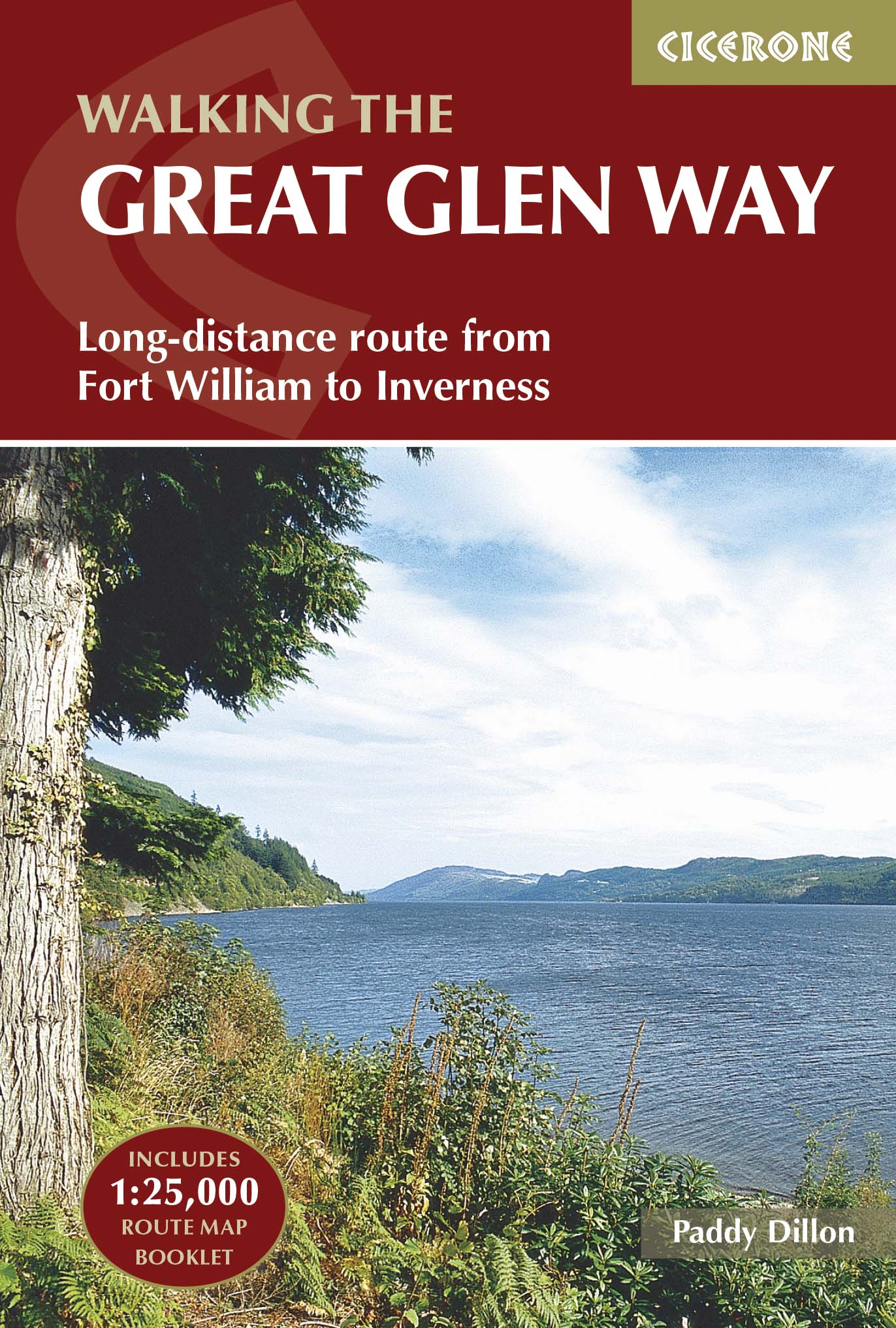
Productomschrijving: Wandelgids over de Great Glen way, een 90km lange National trail langs het kanaal van Caledonia van Fort William naar Inverness. Gemakkelijk af te lopen binnen een week in alle seizoenen, de route van de Great Glen way is een ideale introductie tot lange afstand wandelen in Schotland. De route is beschreven in beide richtingen.
Productdescription: Guidebook to walking the Great Glen Way, a 79 mile National Trail along the Caledonia Canal from Fort William to Inverness. Easily walked within a week in all seasons, the Great Glen Way is an ideal introduction to long-distance walking in Scotland. The route is described in both directions, and a separate OS 1:25K mapping booklet is included.
Product description: Guidebook to walking the Great Glen Way, a 79 mile National Trail along the Caledonia Canal from Fort William to Inverness. Easily walked within a week in all seasons, the Great Glen Way is an ideal introduction to long-distance walking in Scotland. The route is described in both directions, and a separate OS 1:25K mapping booklet is included.
Seasons:
Low-lying, so it is possible to walk the Great Glen Way at most times of year. Accommodation is often busy in summer, and midges are out! Daylight is short in winter and less accommodation is available.
Centres:
Inverness, Drumnadrochit, Invermoriston, Fort Augustus, North Laggan, Gairlochy, Fort William.
Difficulty:
The Great Glen Way is a 5-6 day low-level waymarked National Trail, with a range of facilities along the way. An ideal introduction to long-distance walking.
Must See:
Views of the highlands, fascinating clan history, Caledonian canal, wildlife (including, possibly, the Loch Ness monster).

Locatie op kaart
Artikelen uit dezelfde regio

Wandelkaart 57 Stirling & The Trossachs NP - Highland's - OSI • 9780319473801
Wandelkaart Stirling & the Trossachs NP Highland's Schotland Productbeschrijving: OS Landranger kaart 57 omvat Stirling & The Trossachs alsook Ben Vorlich, Mor Bheinn, Ling Hill, Ben Ledi, Venachar Loch, Loch Katrine, Loch Ard evenals deel van de Loch Lomond en de Trossachs nationaal park. Stirling en zijn kasteel zij zeker een bezoekje waard, terwijl het nabijgelegen Wallace Monument een …

Wandelkaart OL46 Trossachs- Callander & Aberfoyle - OSI • 9780319469644
Wandelkaart Trossachs- Callander & Aberfoyle - Highland's Omvat ook: Callander, Aberfoyle & Lochearnhead Balquhidder & Strathyre. Productbeschrijving: Omvat initieel een gebied in het noordoosten van de Loch Lomond and The Trossachs National Park, omvat deze kaart Ben Tulaichean, Ben More, Stob Binnein, Stuc a'Chroin en Ben Vorlich. Deze kaart vervangt de vorige OS Explorer kaart 365 v…

Wandelkaart West Highland Way - Harvey maps • 9781851374588
Wandelkaart West Highland Way - Milngavie to Fort William Productomschrijving: Deze kaart heeft betrekking op de West Highland Way, en is 153km (95 mijl) lang, van Milngavie, in de buurt van Glasgow naar Fort William. De kaart is gerangschikt in deelvensters. Het wordt geleverd in een gevouwen plastieken zak. De kaart toont ook de details die u nodig heeft voor GPS navigatie. Er is een vol…

Reisgids Scottish Highlands & Islands - Rough guides • 9780241272312
Scottish Highlands & Islands - Rough guides Product description: This fully updated The Rough Guide to Scottish Highlands and Islands is the ultimate guidebook to the captivating remote reaches of Scotland. From the divine seafood offerings at Loch Fyne to the whisky distilleries on Islay, this is a place for indulging. It’s also a hotspot for outdoor activities, whether you decide to bag …

Wandelkaart Schiehallion - Ben Lawers & Glen Lyon - Harvey maps • 9781851375110
Wandelkaart Schiehallion - Ben Lawers & Glen Lyon - Harvey maps Productomschrijving: Schiehallion BMC berg kaart - Over 42 uitdagende Perthshire hills op één plan, omvat 27 Munros en 15 Corbetts. Nieuwe generatie HARVEY Superwalker, XT25 waterproof, werden ontworpen om de meest praktische tools te zijn voor GPS-navigatie. Het formaat geeft meer toewijzingen op het blad zonder de kaart …