
Wandelgids The Coast to Coast Map Booklet - Cicerone
St Bees Head naar Robin Hood's Bay aan de kust van Yorkshire
Korte omschrijving
Wandelgids - The Coast to Coast Map Booklet - Cicerone Productomschrijving: Deze wandelgids toont u de 300km lange Coast to Coast Walk, een populaire interlokale trail in Noord-Engeland, die...

Specificaties
- Uitgever: CICERONE Press
- ISBN-13: 9781852849269
- HOOFDCATEGORIEËN: Wandelgids
- Activiteiten: Wandelen, Hiking & Trekking
- Regio: Noord Engeland, North & North East England
- Land: England
- Blz.: 104
- Schaal: 1:25000
- Afmeting: 12x17
- Editie: 1
- Taal: Engels
Volledige omschrijving
Wandelgids - The Coast to Coast Map Booklet - Cicerone
Productomschrijving: Deze wandelgids toont u de 300km lange Coast to Coast Walk, een populaire interlokale trail in Noord-Engeland, die vertrekt uit St Bees Head in Cumbria naar Robin Hood's Bay aan de kust van Yorkshire.
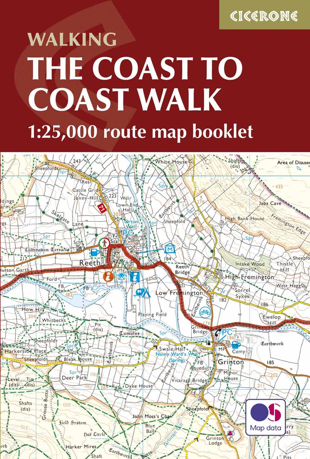
Product description: This map booklet shows the 190 mile (300km) Coast to Coast Walk, a popular long distance trail across northern England from St Bees Head in Cumbria to Robin Hood's Bay on the Yorkshire coast, devised by Alfred Wainwright. This booklet of Ordnance Survey 1:25,000 Explorer maps has been designed for convenient use on the Coast to Coast Walk and shows the full line of the trail along with the relevant extract from the OS Explorer map legend. It can be used when walking the route west–east or east–west. Conveniently sized for slipping into a jacket pocket or top of a rucksack, it comes in a clear PVC sleeve.
Seasons:
Accommodation along the Coast to Coast walk may be busy in summer and higher, more remote, parts difficult in winter. Spring or autumn is ideal.
Centres:
St Bees, Grasmere, Shap, Kirkby Stephen, Richmond, Ingleby Arncliffe, Grosmont, Whitby, Robin Hood's Bay.
Difficulty:
The C2C is a two-week route with total ascent of 6995m (22,825ft). Some remote stretches, especially walking on the North York Moors.
Must See:
The Lakeland fells, Swaledale, Vale of Mowbray, North York Moors, cliff-top walks at Robin Hood's Bay.
Locatie op kaart
Artikelen uit dezelfde regio

Wandelgids Dales Way-Map Booklet - Cicerone • 9781786310941
Map Booklet - The Dales Way - Cicerone Press Productomschrijving: OPGELET: inbegrepen indien u de wandelgids zelf koopt. Kaart van de 79 mijl (135 km) lange Dales Way door de Yorkshire Dales tussen Ilkley en Bowness-on-Windermere. Dit boekje is bijgesloten bij de Cicerone gids en toont de volledige route op OS 1:25,000 kaarten. Het is een van de meest rustige meerdaagse wandelingen in Gro…

Wandelgids The Wainwright route - Rucksack readers • 9781898481829
Wandelgids - The Wainwright route- coast tot coast walking Productomschrijving: This challenging walk of 184 miles (296 km) crosses the north of England from St Bees on the Cumbria coast to Robin Hood’s Bay on the North Sea. It passes through three National Parks – the Lake District, Yorkshire Dales and North York Moors – with splendidly varied scenery. Many walkers complete it within 12 t…

Wandelgids Cleveland Way Map Booklet - Cicerone • 9781852849344
Wandelgids - Cleveland Way Map Booklet - Cicerone Productomschrijving: Boekje van de kaart van de Cleveland Way National Trail, een 177km (110 mijl) lopen rond de North York Moors National Park. Dit boekje wordt geleverd met de Cicerone gids naar de Cleveland Way en de Yorkshire Wolds Way en toont het volledige parcours van de Cleveland Way op kaarten van Ordnance Survey 1: 25.000 Prod…

Wandelgids Great Walks on the England Coast Path - Cicerone • 9781852849894
Great Walks on the England Coast Path - Cicerone Engelse omschrijving: At around 4500 km (2800 miles), the England Coast Path is the longest coastal trail in the world. This inspirational large-format guide presents a handpicked selection of 30 highlight sections, offering a taste of England's stunning and diverse shoreline. Routes range from 9 to 45km, spanning between 3 hours and 2 days,…

Wandelgids North Yorkshire historic walks - Cicerone • 9781852843892
Wandelgids - North Yorkshire historic walks - Cicerone Productomschrijving: Een gids over historische wandelingen in North Yorkshire, in 20 meestal circulaire routes. Zij brengen u van open heidegebied en blootgestelde delen van heuvel en kliffen naar de meer beschutte dales en de straten van York. Wandelingen bevatten Skipton Castle, Ripon en Fountains Abbey, Ripley Castle, Castle Howard,…