
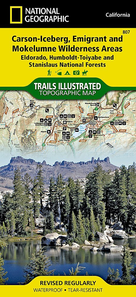
Wandelkaart 807 Carson-Iceberg- Nat.Geo
Omvat eveneens het Mokelumne Wilderness Areas
Korte omschrijving
TOPO Wandelkaart 807 - Carson-Iceberg- Nat.Geo Productomschrijving: Een verzameling aan nationale bosgebieden op één kaart en gelegen in Calofornia. Engelse omschrijving: Expertly resear...

Specificaties
- Uitgever: National Geographic
- ISBN-13: 9781566952651
- HOOFDCATEGORIEËN: Wandelkaart
- Activiteiten: Wandelen, Hiking & Trekking
- Regio: Californië, USA
- Land: Verenigde Staten van Amerika (USA)
- Regionale parken: Eldorado National forest, Humboldt-Toiyabe National forest, Mokelumne Wilderness Area, Stanislaus National Forests
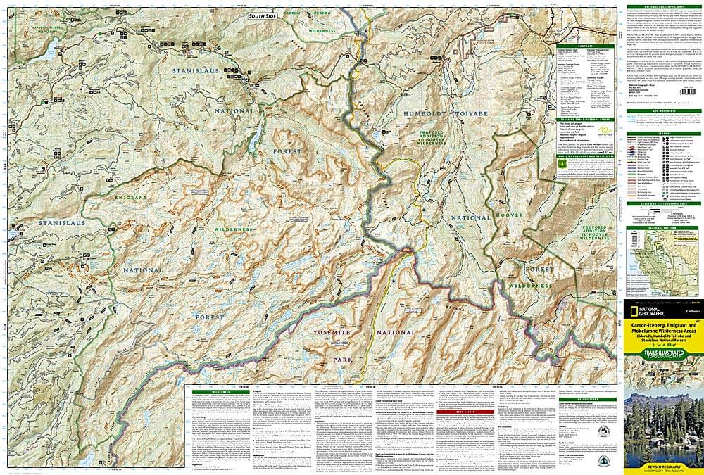
- Schaal: 1:63360
- Afmeting: 10x19
- Taal: Engels
Volledige omschrijving
TOPO Wandelkaart 807 - Carson-Iceberg- Nat.Geo
Productomschrijving: Een verzameling aan nationale bosgebieden op één kaart en gelegen in Calofornia.
Engelse omschrijving: Expertly researched and created in partnership with the U.S. Forest Service and others, National Geographic's Trails Illustrated map of Yuba and American Rivers region of Tahoe National Forest provides an unparalleled tool for exploring this historically significant region of the Sierras. Whatever the season, you'll find this map a useful tool in pursuing a host of recreational activities from skiing and snowmobiling to camping and boating. The map features many key points of interest, including French Meadows and New Bullards Bar Reservoirs, Granite Chief Wilderness, South Yuba River Recreation Area, Malakoff Diggins State Historic Park, Donner Memorial State Park and the western rim of the Lake Tahoe Basin Management Unit.
The Tahoe National Forest West map can guide you off the beaten path and back again with miles of clearly marked trails including portions of the Pacific Crest, Pioneer, and Tahoe Rim trails. To help you choose the path that's right for you, trails are color coded according to the designated usage and mileage between intersections is indicated. The Yuba Donner scenic byways is noted for those wishing to take in the scenery by car. Many recreation features are noted as well, including ski areas, campgrounds, trailheads, wildlife viewing areas, boat launches, and swimming and fishing areas. The map base includes contour lines and elevations for summits, passes and many lakes. Every Trails Illustrated map is printed on "Backcountry Tough" waterproof, tear-resistant paper. A full UTM grid is printed on the map to aid with GPS navigation.
Other features found on this map include: Donner Pass, Eldorado National Forest, Granite Chief Wilderness, Mosquito Ridge, Plumas National Forest, Sawtooth Ridge, Tahoe National Forest, Truckee.

Locatie op kaart
Artikelen uit dezelfde regio

Wandelkaart 804 Tahoe National Forest West - Nat Geo • 9781566954259
Tahoe National Forest West - Nat Geo Omvat: Donner Pass, Eldorado National Forest, Granite Chief Wilderness, Mosquito Ridge, Plumas National Forest, Sawtooth Ridge, Tahoe National Forest, Truckee. Engelse omschrijving: Expertly researched and created in partnership with the U.S. Forest Service and others, National Geographic's Trails Illustrated map of Yuba and American Rivers region o…

Wandelkaart 814 Big Sur & Ventana Wilderness - Natgeo • 9781566955782
TOPO Wandelkaart 814 - Big Sur & Ventana Wilderness - Natgeo Productomschrijving: Big Sur & Ventana Wilderness California- Natgeo zijn in andere woorden, het Los Padres National Forest in het United States national forest in southern en central California. National Geographic's Trails Illustrated map of Big Sur, Ventana Wilderness combines unmatched detail with helpful information to o…

Reisgids Los Angeles- San Francisco & Las Vegas - Anwv Extra • 9789018049782
Reisgids Los Angeles- San Francisco & Las Vegas - Anwv Productomschrijving: ANWB Extra reisgids Los Angeles, San Francisco en Las Vegas - Amerika Ontdek Los Angeles, San Francisco en Las Vegas met de compleet vernieuwde reisgids ANWB Extra Los Angeles, San Francisco en Las Vegas! In deze Amerikaanse driehoek komt elke vakantieganger aan zijn trekken. De natuurliefhebber in Big Sur en d…

Wandelkaart 1008 Pacific Crest Trail - Nat Geo • 9781566957908
Wandelkaart Pacific Crest Trail - Nat Geo Productomschrijving: De Pacific Crest Trail, die in de topografische kaartengids voor de Sierra Nevada North staat aangegeven, loopt door subalpiene bossen en vulkanische rotsformaties en blijft dicht bij de Sierra Crest. De John Muir Trail loopt 160 mijl samen met de PCT en splitst zich in het westen van de PCT bij Tuolumne Meadows in Yosemite Nat…

Reisgids The Rough Guide to California - Rough Guides • 9781839058592
The Rough Guide to California - Rough Guides Productomschrijving: De volledig bijgewerkte The Rough Guide to California is de definitieve gids voor de meest bezochte staat in de VS. Ontdek de hoogtepunten van Californië met prachtige fotografie, gemakkelijk te gebruiken kaarten en meer lijsten en informatie dan ooit tevoren. De Rough Guide to California bevat leuke en avontuurlijke reisrou…