
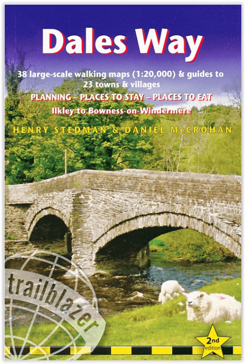
Wandelgids The Dales Way - Trailblazer
Ilkley in the Yorkshire Dales NP tot Bowness-on-Windermere 130 km
Korte omschrijving
Wandelgids The Dales Way - Trailblazer Publications Productomschrijving: Dales Way: Ilkley to Bowness-on-Windermere - Het langeafstandswandelpad Dales Way begint in Ilkley, in het Yorkshire ...

Specificaties
- Uitgever: Trailblazer Publications
- ISBN-13: 9781912716302
- HOOFDCATEGORIEËN: Wandelgids
- Activiteiten: Wandelen, Hiking & Trekking
- Auteur: Henry Stedman
- Regio: Yorkshire, England
- Land: England
- Lange afstand wandelroutes: The Dales Way (130 km)
- Blz.: 192
- Afmeting: 12x18
- Editie: 2
- Taal: Engels
Volledige omschrijving
Wandelgids The Dales Way - Trailblazer Publications
Productomschrijving: Dales Way: Ilkley to Bowness-on-Windermere - Het langeafstandswandelpad Dales Way begint in Ilkley, in het Yorkshire Dales National Park en loopt over 81 mijl (130 km) om te eindigen in het Lake District, in Bowness-on-Windermere. Het volgt de prachtige rivier de Wharf richting Ribblehead, meandert dan langs de riviervalleien van Dentdale en daalt uiteindelijk af in het Lake District National Park om te eindigen bij Lake Windermere. Het is een relatief gemakkelijke wandeling die ongeveer een week duurt. Er wordt ook informatie gegeven over verbindingsroutes vanuit Harrogate, Bradford en Leeds.
Engelse omschrijving: Dales Way: Ilkley to Bowness-on-Windermere - The Dales Way long-distance footpath begins in Ilkley, in the Yorkshire Dales National Park and runs for 81 miles (130km) to end in the Lake District, at Bowness-on-Windermere. It follows the beautiful River Wharf towards Ribblehead, then meanders along the river valleys of Dentdale, eventually dropping down into the Lake District National Park to finish near Lake Windermere. It’s a relatively easy walk that takes about a week. Information about link routes from Harrogate, Bradford and Leeds is also given.
- The largest scale walking maps available- Downloadable GPS waypoints also included.
- Itineraries for all walkers
- All-in-one-guide
- Comprehensive public transport information for weekend and day walks - (British Walking Guide) - 38 detailed walking maps
- 23 town and village guides
- 30 colour photos & colour flower and bird sections
- 120mm x 180mm, 5" x7"

Artikelen uit dezelfde regio

Wandelkaart The Dales Way Yorkshire - Harvey maps • 9781851374281
Wandelkaart The Dales Way Yorkshire - Harvey maps Productomschrijving: Toont de gehele 130km (81 mijl) van The Dales Way van Ilkley in Yorkshire door de Dales via Grassington, Dent en Buckden naar Bowness on Windermere in het Lake District. Bevat alle 3 links: van Leeds, Shipley (Bradford) en Harrogate. Met informatie over het vinden van accommodatie, camping, voedsel. Tevens is de routebe…

Wandelgids The Pennine Way - Trailblazer • 9781912716333
The Pennine Way 420 km - Trailblazer Productomschrijving: De Pennine Way, het bekendste nationale pad van Groot-Brittannië, slingert zich 420 km over woeste heidevelden en door stille dalen langs de ruggengraat van Noord-Engeland. Het begint in Edale in het Peak District en eindigt net over de grens in Schotland bij Kirk Yetholm. Dit prachtige wandelpad doorkruist 3 nationale parken - het …

Wandelkaart Cleveland Way - Across North York NP - Harvey maps • 9781851374892
Wandelkaart Cleveland Way - Across North York NP - Harvey maps Productomschrijving: 174km (109 mijl) van Helmsley over het North York Moors National Park naar Saltburn en langs de kust via Scarborough eindigend met Filey. Informatie over het vinden van accommodatie, camping, voedsel. Routebeschrijving naar het begin. Ook Ranger Service contacten met nummers en uitbreidingen van steden/dorp…

Fietskaart Coast to Coast East England - Harvey maps • 9781851375325
Fietskaart Coast to Coast East England - Harvey maps Productomschrijving: De route van kust tot kust, is bedekt met twee kaarten. De doortocht van kust naar kust is ongeveer 200 mijl. Er is geen één definitieve route. Deze kaarten suggereren twee belangrijkste alternatieven, St Bees naar Robin Hoods Bay (bedacht door Tim Woodcock of Bicester aan Wykeham bedacht door pedaal Noord. De XT60 n…

Reisgids Go Slow North York Moors & Yorkshire Wolds - Bradt • 9781804690093
Reisgids North York Moors national park - Bradt Productomschrijving: Inwoner van Yorkshire, natuurliefhebber en reisschrijver Mike Bagshaw (Auteur) heeft deze nieuwe 3e van Bradt's North York Moors & Yorkshire Wolds, onderdeel van Bradt's bekroonde serie Go Slow travel gidsen over Britse regio's, grondig bijgewerkt. Het blijft de enige zelfstandige gids voor deze regio van contrasten. Wand…