
Reisgids Schotland's Highlands & Islands - Lonely Planet
The hills and glens and wild coastline of Schotland
Korte omschrijving
Schotland's Highlands & Islands - Lonely Planet Productomschrijving: The hills and glens and wild coastline of Scotland’s Highlands and islands offer the ultimate escape – one of the last co...

Specificaties
- Uitgever: Lonely Planet Publications
- ISBN-13: 9781787016439
- HOOFDCATEGORIEËN: Reisgids
- Activiteiten: Toerisme
- Auteur: Andy Symington, Neil Wilson
- Regio: Highlands, Schotland
- Land: Schotland
- Blz.: 320
- Afmeting: 13x20
- Editie: 5
- Taal: Engels
Volledige omschrijving
Schotland's Highlands & Islands - Lonely Planet
Productomschrijving: The hills and glens and wild coastline of Scotland’s Highlands and islands offer the ultimate escape – one of the last corners of Europe where you can discover genuine solitude.
Lonely Planet will get you to the heart of Scotland’s Highlands & Islands, with amazing travel experiences and the best planning advice:
- Inspirational images, city walks and recommendations from our expert
- Planning features and top itineraries to help you plan the perfect trip
- Local secrets and hidden travel gems that will make your trip unique
- Plus castles, lochs & mountains, walks, road trips & scenic drives and outdoor activities
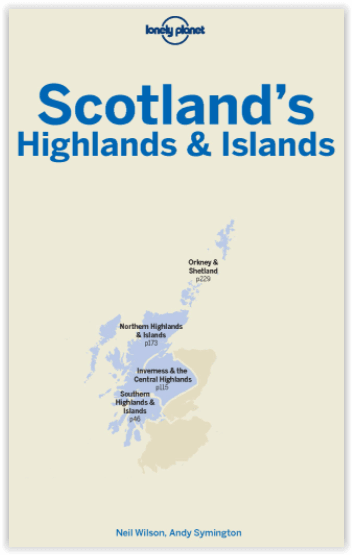
Coverage includes: Southern Highlands & Islands, Walking the West Highland Way, Central Highlands, The Great Glen & Lochaber, Skye & The Western Isles, Northwest Highlands, Orkney Islands, Shetland Islands
Locatie op kaart
Artikelen uit dezelfde regio

Wandelkaart 34 Fort Augustus- Loch Ness Highland's - OSI • 9780319261323
Wandelkaart Fort Augustus- Loch Ness - Highland's Schotland Omvat ook: Glen Albyn & Glen Roy Productomschrijving: Gelegen aan de zuidelijke oevers van de wereld beroemde Loch Ness, is Fort Augustus het charmante dorp omgeven door iconische Schotse landschap. OS Landranger kaart 34 toont de Great Glen way die de regio passeert waardoor het een aantrekkelijke uitvalsbasis word voor wande…

Wandelkaart XT40 Ben Lawers Highlands - Harvey Ultramaps • 9781851375783
Wandelkaart XT40 - Ben Lawers Highlands - Harvey Ultramaps productomschrijving: Ben Lawers, in het Schotse district Perthshire, is de naam van een bergmassief ten noorden van Loch Tay en van de hoogste top, centraal gelegen in de 12 km lange richel die alle bergen verbindt. Ben Lawers is te bereiken via wandelpaden over lange, met gras begroeide hellingen die vertrekken aan de weg die ten …

Wandelkaart 377 Loch Etive & Glen Orchy- Schotland - OSI • 9780319472446
Wandelkaart Loch Etive & Glen Orchy - Highlands Schotland Omvat ook: Dalmally, Tyndrum, Bridge of Orchy & Taynuilt. Productbeschrijving: Dubbel zijdige OS Explorer kaart 377 toont de omgeving van Loch Etive tot aan Loch Lomond en de Trossarchs National Park. Naast een substantieel deel van de West Highland way zijn er 21 Munro's om op zak te steken, samen een deel van de Ben Nevis en d…

Mountainbikegids Southern & Central Schotland - Cicerone • 9781852847470
Mountainbikegids - Southern & Central Schotland - Cicerone Productomschrijving: Deze gids beschrijft 21 mountainbike fietsroutes in Midden- en Zuid-Schotland, met inbegrip van de 7 stanes in Dumfries and Galloway, en crosscountry-routes in de Campsie Fells, Pentland Hills en Lammermuirs, de Galloway Forest, Tweed Vallei, Cheviots en Lowther Hills. De routes variëren van 16,5 tot 66km inged…

Wandelkaart OL39 Loch Lomond North & Tyndrum - OSI • 9780319469576
Wandelkaart Loch Lomond North & Tyndrum - Schotland Omvat ook: Tyndrum, Crianlarich & Arrochar. Productbeschrijving: Kaart nummer 39 OL in de OS Explorer reeks heeft betrekking op het noordelijke gebied van Loch Lomond, op de steden Arrochar, Tyndrum, Ardlui en Crianlarich. Hoogtepunten van het gebied zijn onder andere: Loch Lomond, Ben Lomond, Cruinn een Bheinn, Ben Donich, Ben Glas, …