
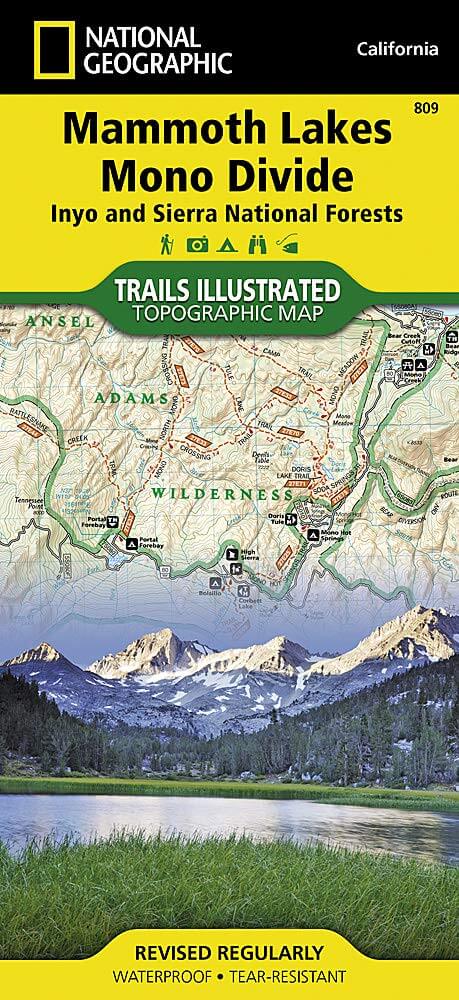
Wandelkaart 809 Mammoth Lakes - Mono Divide - Nat Geo
Gelegen direct ten oosten van Mammoth Mountain
Korte omschrijving
TOPO Wandelkaart 809 - Mammoth Lakes - Mono Divide - National Geographic Productomschrijving: Mammoth Lakes is een stadje in Mono County, California, de enige geintegreerde community in de r...

Specificaties
- Uitgever: National Geographic
- ISBN-13: 9781566952668
- HOOFDCATEGORIEËN: Wandelkaart
- Regio: Californië, USA
- Land: Verenigde Staten van Amerika (USA)
- Schaal: 1:63360
- Afmeting: 10x19
- Taal: Engels
Volledige omschrijving
TOPO Wandelkaart 809 - Mammoth Lakes - Mono Divide - National Geographic
Productomschrijving: Mammoth Lakes is een stadje in Mono County, California, de enige geintegreerde community in de regio. Gelegen direct ten oosten van Mammoth Mountain.
Engelse omschrijving: Explore the magnificent alpine landscape of Mammoth Lakes, Mono Divide with National Geographic's Trails Illustrated map. Expertly researched and created in partnership with local land management agencies, this map features key points of interest including John Muir, Ansel Adams, and Dinkey Lakes wilderness areas; Devils Postpile National Monument; and the northern portion of Kings Canyon National Park. Loaded with helpful information on wilderness camping, safety tips, and regulations, this map is an invaluable tool for casual visitors and avid adventurers alike.
The Mammoth Lakes, Mono Divide Trails Illustrated Map can guide you off the beaten path and back again with miles of mapped trails including portions of the Pacific Crest and John Muir trails. The trails are clearly marked for their usage, and mileage between intersections is noted. Road types are differentiated as well, so you know if the route you choose is a paved, dirt, four-wheel-drive, or high-clearance road. The map base includes contour lines and elevations for summits, passes and some lakes. A variety of recreation features are noted, including campgrounds, trailheads, interpretive trails, boat launch sites, horse pack stations, and more. Every Trails Illustrated map is printed on "Backcountry Tough" waterproof, tear-resistant paper. A full UTM grid is printed on the map to aid with GPS navigation.
Other features found on this map include: Ansel Adams Wilderness, Courtright Reservoir, Dinkey Lakes Wilderness, Inyo National Forest, John Muir Wilderness, Kings Canyon National Park, Lake Crowley, Lake Thomas A Edison, Mount Darwin, Mount Goddard, Mount Morgan, Mount Powell, Mount Ritter, Nelson Mountain, Ritter Range, Sierra National Forest.
.png)
Locatie op kaart
Overzichtskaarten

NAT GEO California trail maps
NAT GEO California trail maps

Producten op de overzichtskaart
Klik op een product om naar de detailpagina te gaan.
- Wandelkaart 205 Sequoia & Kings Canyon NP - California
- Wandelkaart 206 Yosemite NP - California - Nat Geo
- Wandelkaart 218 Redwood National & State Parks - Nat Geo
- Wandelkaart 221 Death Valley NP - Nevada - Natgeo
- Wandelkaart 226 Joshua Tree NP - California - Nat Geo
- Wandelkaart 256 Mojave National park California - Nat Geo
- Wandelkaart 306 Yosemite SW- Yosemite Valley - Nat Geo
- Wandelkaart 307 Yosemite NP North West - Nat Geo
- Wandelkaart 308 Yosemite NE- Tuolumne Meadows - Nat Geo
- Wandelkaart 309 Yosemite SE - Ansel Adams Wilderness - Nat Geo
- Wandelkaart 322 Mount Whitney California - Nat Geo
- Wandelkaart 803 Lake Tahoe Basin - California - Nat Geo
- Wandelkaart 804 Tahoe National Forest West - Nat Geo
- Wandelkaart 805 Tahoe Nat. Forest East - Sierra Buttes - Nat Geo
- Wandelkaart 809 Mammoth Lakes - Mono Divide - Nat Geo
- Wandelkaart 810 Shaver Lake - Sierra National Forest - Nat Geo
Artikelen uit dezelfde regio

Wandelkaart 1008 Pacific Crest Trail - Nat Geo • 9781566957908
Wandelkaart Pacific Crest Trail - Nat Geo Productomschrijving: De Pacific Crest Trail, die in de topografische kaartengids voor de Sierra Nevada North staat aangegeven, loopt door subalpiene bossen en vulkanische rotsformaties en blijft dicht bij de Sierra Crest. De John Muir Trail loopt 160 mijl samen met de PCT en splitst zich in het westen van de PCT bij Tuolumne Meadows in Yosemite Nat…

Wandelkaart 256 Mojave National park California - Nat Geo • 9781566953832
Wandelkaart - Mojave National park California - Nat Geo Productomschrijving: Gelegen op de samenloop van de Mojave, Sonoran, en Great Basin woestijn regio's, Mojave National Preserve is een van de meest diverse woestijn omgevingen in de wereld. Verken de Joshua Tree bossen, zandduinen, vulkanische sintelkegels, kilometershoge bergen en uitgestrekte vergezichten van deze unieke regio met Na…

Reisgids Los Angeles California - Top 10 - DK Eyewitness • 9780241367957
DK Eyewitness TOP 10 Los Angeles California Omvat: West Hollywood and Midtown, Santa Monica Bay, Downtown & Coastal Orange County Productomschrijving: Ga wandelen in de Hollywood Hills, breng tijd door op Venice Beach, verken Beverly Hills of bezoek het Los Angeles County Museum of Art. Van de Top 10 stranden tot de Top 10 bioscopen - ontdek het beste van Los Angeles met deze gebruiksv…

Reisgids The Rough Guide to California - Rough Guides • 9781839058592
The Rough Guide to California - Rough Guides Productomschrijving: De volledig bijgewerkte The Rough Guide to California is de definitieve gids voor de meest bezochte staat in de VS. Ontdek de hoogtepunten van Californië met prachtige fotografie, gemakkelijk te gebruiken kaarten en meer lijsten en informatie dan ooit tevoren. De Rough Guide to California bevat leuke en avontuurlijke reisrou…

Wandelkaart 810 Shaver Lake - Sierra National Forest - Nat Geo • 9781566952422
Shaver Lake - Sierra National Forest - Nat Geo Omvat: Ansel Adams Wilderness, Bass Lake, Chowchilla Mountains, Courtright Reservoir, Dinkey Lakes Wilderness, John Muir Wilderness, Kaiser Wilderness, Mammoth Pool Reservoir, Nelson Mountain, Sequoia National Forest, Shaver Lake, Sierra National Forest, Wishon Reservoir, Yosemite National Park. Engelse omschrijving: National Geographic's …