
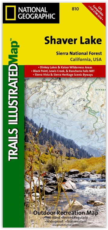
Wandelkaart 810 Shaver Lake - Sierra National Forest - Nat Geo
Sierra National Forest - Yosemite National Park - Sequoia NP
Korte omschrijving
Shaver Lake - Sierra National Forest - Nat Geo Omvat: Ansel Adams Wilderness, Bass Lake, Chowchilla Mountains, Courtright Reservoir, Dinkey Lakes Wilderness, John Muir Wilderness, Kaiser Wil...

Specificaties
- Uitgever: National Geographic
- ISBN-13: 9781566952422
- HOOFDCATEGORIEËN: Wandelkaart
- Activiteiten: Wandelen, Hiking & Trekking
- Regio: Californië, USA
- Land: Verenigde Staten van Amerika (USA)
- Waterafstotende kaart: Nat Geo waterproof series
- Schaal: 1:63360
- Afmeting: 10x19
- Taal: Engels
Volledige omschrijving
Shaver Lake - Sierra National Forest - Nat Geo
Omvat: Ansel Adams Wilderness, Bass Lake, Chowchilla Mountains, Courtright Reservoir, Dinkey Lakes Wilderness, John Muir Wilderness, Kaiser Wilderness, Mammoth Pool Reservoir, Nelson Mountain, Sequoia National Forest, Shaver Lake, Sierra National Forest, Wishon Reservoir, Yosemite National Park.
Engelse omschrijving: National Geographic's Trails Illustrated map of Shaver Lake will help all outdoor enthusiasts navigate their way off the beaten path and back again, around this very popular area of Sierra National Forest between Yosemite National Park and Sequoia National Forest. Clearly marked trailheads will point you to trails that are colored according to their designated usage and have mileage markers between intersections, including National Recreation trails like Columns of the Giants, Rancheria Falls and Lewis Creek Trail. The Kings Wild and Scenic River is also clearly shown along with a river difficulty scale chart, for whitewater rafting. Some of the other recreation features on the map are boat launch and river access points, ski areas, horse stables and scenic views.
This expertly researched map was created in partnership with the U.S. Forest Service, National Park Service and others. It contains descriptions of popular recreation sites, various safety tips, wilderness descriptions and camping regulations and useful contact information. The map base includes contour lines and elevations for summits and peaks. Some key points of interest are Kaiser, Dinkey Lakes, John Muir and Monarch Wildernesses, Millerton Lake State Recreation Area, Huntington Lake and Rancheria Falls. The Sierra Vista and Sierra Heritage Byway are indicated for those who prefer to explore the area by car.
Every Trails Illustrated map is printed on "Backcountry Tough" waterproof, tear-resistant paper. A full UTM grid is printed on the map to aid with GPS navigation.
Locatie op kaart
Overzichtskaarten

NAT GEO California trail maps
NAT GEO California trail maps

Producten op de overzichtskaart
Klik op een product om naar de detailpagina te gaan.
- Wandelkaart 205 Sequoia & Kings Canyon NP - California
- Wandelkaart 206 Yosemite NP - California - Nat Geo
- Wandelkaart 218 Redwood National & State Parks - Nat Geo
- Wandelkaart 221 Death Valley NP - Nevada - Natgeo
- Wandelkaart 226 Joshua Tree NP - California - Nat Geo
- Wandelkaart 256 Mojave National park California - Nat Geo
- Wandelkaart 306 Yosemite SW- Yosemite Valley - Nat Geo
- Wandelkaart 307 Yosemite NP North West - Nat Geo
- Wandelkaart 308 Yosemite NE- Tuolumne Meadows - Nat Geo
- Wandelkaart 309 Yosemite SE - Ansel Adams Wilderness - Nat Geo
- Wandelkaart 322 Mount Whitney California - Nat Geo
- Wandelkaart 803 Lake Tahoe Basin - California - Nat Geo
- Wandelkaart 804 Tahoe National Forest West - Nat Geo
- Wandelkaart 805 Tahoe Nat. Forest East - Sierra Buttes - Nat Geo
- Wandelkaart 809 Mammoth Lakes - Mono Divide - Nat Geo
- Wandelkaart 810 Shaver Lake - Sierra National Forest - Nat Geo
Artikelen uit dezelfde regio

Wandelkaart 256 Mojave National park California - Nat Geo • 9781566953832
Wandelkaart - Mojave National park California - Nat Geo Productomschrijving: Gelegen op de samenloop van de Mojave, Sonoran, en Great Basin woestijn regio's, Mojave National Preserve is een van de meest diverse woestijn omgevingen in de wereld. Verken de Joshua Tree bossen, zandduinen, vulkanische sintelkegels, kilometershoge bergen en uitgestrekte vergezichten van deze unieke regio met Na…

Wandelgids The California Mission Trails - Cicerone • 9781786311139
The California Mission Trails - Cicerone Productomschrijving: Gids over het wandelen en fietsen van de 1289 km lange California Missions Trail tussen San Francisco Bay en San Diego. De pelgrimsroute voert langs 21 historische Spaanse missies en kan worden voltooid in 50-60 wandeldagen of 2-3 weken fietsen. Met 1:100.000 kaarten, routebeschrijving en details van accommodatie en faciliteiten…

Reisgids San Francisco & Northern California - DK Eyewitness • 9780241360071
San Francisco & Northern California Omvat: Presidio, Pacific Heights and the Marina, Fisherman's Wharf and North Beach, Chinatown and Nob Hill, Financial District and Union Square, Civic Center, Haight Ashbury and the Mission, Golden Gate Park and Land's End, and sights beyond the city, plus major parts of Northern California including Carmel, Mendocino, Napa Wine Country, Lake Tahoe & Yos…

Wandelkaart 1008 Pacific Crest Trail - Nat Geo • 9781566957908
Wandelkaart Pacific Crest Trail - Nat Geo Productomschrijving: De Pacific Crest Trail, die in de topografische kaartengids voor de Sierra Nevada North staat aangegeven, loopt door subalpiene bossen en vulkanische rotsformaties en blijft dicht bij de Sierra Crest. De John Muir Trail loopt 160 mijl samen met de PCT en splitst zich in het westen van de PCT bij Tuolumne Meadows in Yosemite Nat…

Reisgids California - Insight Guides ENG • 9781839053306
Reisgids California - Insight Guides Productomschrijving: Van het beslissen wanneer je gaat tot kiezen wat je gaat zien als je aankomt, dit is alles wat je nodig hebt om je reis te plannen en het beste van Californië te ervaren, met diepgaande insiderinformatie over must-see topattracties zoals Hollywood en verborgen culturele juweeltjes zoals de Pacific Coast Highway. Engelse om…