
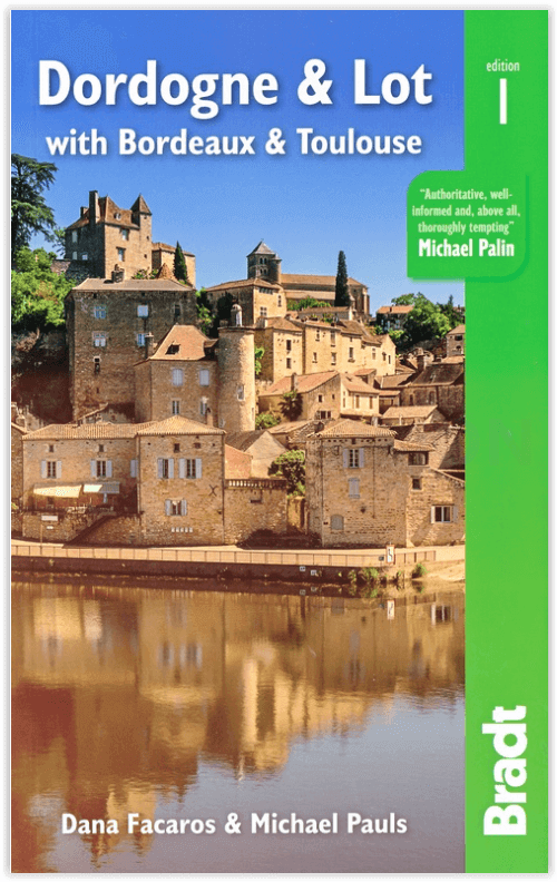
Reisgids Dordogne & Lot with Bordeaux & Toulouse - Bradt guides
Inclusief Bordeaux & Toulouse
Korte omschrijving
Reisgids Dordogne & Lot with Bordeaux & Toulouse - Bradt Productomschrijving: Bradt's Dordogne & Lot, met Bordeaux & Toulouse is de meest gedetailleerde gids voor de hele regio, met een dekk...

Specificaties
- Uitgever: Bradt guides
- ISBN-13: 9781784779009
- HOOFDCATEGORIEËN: Reisgids
- Activiteiten: Toerisme
- Regio: Occitanië, Frankrijk
- Land: Frankrijk
- Departement: Dordogne (24), Lot (46)
- Blz.: 408, 416
- Afmeting: 14x22
- Editie: 1
- Taal: Engels
Volledige omschrijving
Reisgids Dordogne & Lot with Bordeaux & Toulouse - Bradt
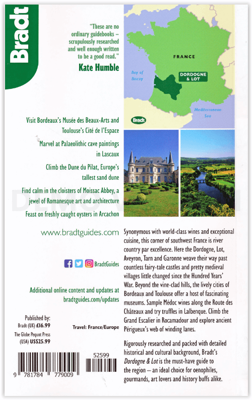
Productomschrijving: Bradt's Dordogne & Lot, met Bordeaux & Toulouse is de meest gedetailleerde gids voor de hele regio, met een dekking die de Lot-et-Garonne en Tarn-et-Garonne omvat, naast Dordogne, Lot en Bordeaux. Dana Facaros en Michael Pauls (auteurs van de oorspronkelijke Cadogan gids voor het gebied) hebben meer dan dertig jaar in de Lot-vallei gewoond en zijn de perfecte gidsen voor de landschappen, steden, eten, kunst, architectuur en, natuurlijk, de wijn van de regio: De 8.800 wijnchâteaux van Bordeaux produceren gemiddeld 650 miljoen flessen per jaar!
Engelse omschrijving: Bradt’s Dordogne & Lot, with Bordeaux & Toulouse is the most detailed guide to the entire region, with coverage that includes the Lot-et-Garonne and Tarn-et-Garonne in addition to Dordogne, Lot and Bordeaux. Dana Facaros and Michael Pauls (authors of the original Cadogan guide to the area) have lived in the Lot valley for over thirty years and are the perfect guides to the region’s landscapes, towns, food, art, architecture and, of course, wine: Bordeaux’s 8,800 wine châteaux produce on average 650 million bottles a year!
Their guide starts with Bordeaux, the capital of the Nouvelle-Aquitaine region as well as the world capital of wine, along with the départements of the Gironde, Dordogne, Lot, Lot-et-Garonne, and Tarn-et-Garonne in between. This is a land of great wines and stunning rivers, encompassing long sandy beaches along the Côte d’Argent (with Europe’s biggest sand dune on the south end), forests and rolling hills. Here, too, are the UNESCO-listed Prehistoric Sites and Decorated Caves of the Vézère Valley, and extraordinary Palaeolithic masterpieces (Lascaux, Font de Gaume and Pech Merche). History has been made here, evidenced in medieval castles and bastides, and beautiful old cities such as Sarlat, Périgueux, St-Emilion, Cahors and Figeac. Hundreds of unspoiled villages dot landscapes that are among the most idyllic in France, while Romanesque churches, including the great abbey at Moissac, are a feast for art lovers.
Outdoor activities are well covered, too, including cycling, sailing, surfing, canoeing, kayaking and walking the numerous Grand Randonnées (including three main routes of the Camino de Santiago) that pass through here, along with scores of other paths. And last but not least, the food is good: think truffles, oysters, duck, saffron, strawberries and melons, walnut groves and orchards. The weekly markets are gorgeous, and the summers are filled with wine, music and theatre festivals. All of this and more is covered by expert authors Dana Facaros and Michael Pauls in this new title from Bradt, offering all the information you need both prior to departure and while on the road.
Locatie op kaart
Artikelen uit dezelfde regio

Wandelgids Ariège Couserans Vicdessos & Haute-Ariège - Rando • 9782344034750
Wandelgids Ariège - Couserans- Vicdessos & Haute-Ariège Productomschrijving: Een nieuwe editie van deze referentie-topogids om de bergen van de Ariège te ontdekken of te herontdekken. De bergen die even mooi zijn als veeleisend. De haut-Ariége is een wandelgebied niet voor de watjes onder ons, hiervoor heeft u kuiten met ballen nodig. Franse omschrijving: Une nouvelle édition de ce top…

Wandelkaart 2044 SB Muret & St-Lys - IGN • 9782758541493
Wandelkaart 2044 SB - Muret & St-Lys Productomschrijving: Muret & St-Lys zijn gemeentes in het Franse departement Haute-Garonne in de regio Occitanie. De plaats maakt deel uit van het arrondissement Muret. Een gloed nieuwe reeks IGN kaarten: de oude versies met de Est en Ouest (E en O aanduiding achter het nummer van de kaart) verdwijnen en worden vervangen door SB na het kaart nummer.…

Wandelgids PR23 Grandrieu & ses environs à pied - FFR • 9782751408847
Wandelgids PR23 - Grandrieu & ses environs à pied - FFR Grandrieu & ses environs à pied, avec circuits VTT Productomschrijving: In het hart van de Margeride, in de voormalige provincie van Gévaudan, zullen de wandel routes elkaar kruisen via een oude Romeins wegen netwerk, drailles of andere stands. De fours en moulins, de croix en fontaines, ontdek hier het Kanton Grandrieu, de ster v…

Wandelgids Tours & Ronde du Canigó en Pyrénées catalanes - FFR • 9782751411540
Tours & Ronde du Canigó en Pyrénées catalanes - FFR Productomschrijving: Met alle facetten van het Massif du Canigó, genesteld in het hart van het Regionale Natuurpark van de Catalaanse Pyreneeën. Hij omvat4 lussen op de GR® 10, GR® 36 en GR® de Pays: ronde du Canigó, tour du pic du Canigó, tour des réserves naturelles, tour du Vallespir. Meer dan 20 dagen toeren voor sportieveli…

Wandelkaart 1744 SB Vic-en-Bigorre & Miélan - IGN • 9782758541387
Wandelkaart Vic-en-Bigorre & Miélan Productomschrijving: Vic-en-Bigorre is een gemeente in het Franse departement Hautes-Pyrénées in de regio Occitanie. De plaats maakt deel uit van het arrondissement Tarbes. Desciptive produits: Une nouvelle cartographie pour une lisibilité optimale, avec une meilleure précision géométrique et des informations touristiques enrichies. Un nouveau format…