
Wandelgids Walking the Jurassic Coast - Cicerone
30 wandelingen langs de Jurassic Coast van Devon en Dorset

Korte omschrijving
Wandelgids - Walking the Jurassic Coast - Cicerone Discover the Jurassic Coast of Devon and Dorset with a Cicerone guide. Productomschrijving: Deze gids bevat 30 wandelingen naar de Jura...

Specificaties
- Uitgever: CICERONE Press
- ISBN-13: 9781852847418
- HOOFDCATEGORIEËN: Wandelgids
- Activiteiten: Wandelen, Hiking & Trekking
- Auteur: Ronald Turnbull
- Regio: Devon, England, Dorset, England
- Land: England
- Blz.: 240
- Afmeting: 12x17
- Editie: 1
- Taal: Engels
Volledige omschrijving
Wandelgids - Walking the Jurassic Coast - Cicerone
Discover the Jurassic Coast of Devon and Dorset with a Cicerone guide.
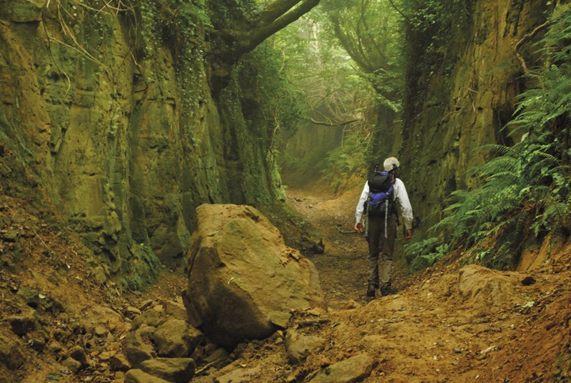
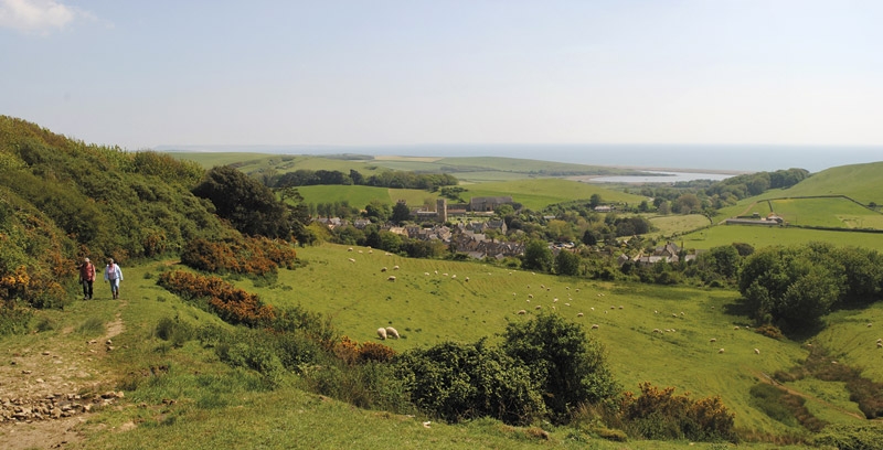
Productomschrijving: Deze gids bevat 30 wandelingen naar de Jurassic Coast van Devon en Dorset. Dekking van de kust tussen Exmouth en Bournemouth, deze prachtige routes variëren van 3 tot 16 mijl (5 tot 24km). De gids verkent en geeft uitleg over de spectaculaire geologie van een stuk Werelderfgoed met duidelijke, gemakkelijk te begrijpen beschrijving, doorsneden en tijdlijnen. De Jurasic Coast heeft zijn naam niet gestolen.
Product description: This guidebook includes 30 walks on the Jurassic Coast of Devon and Dorset. Covering the coast between Exmouth and Bournemouth, these delightful routes range from 3 to 16 miles (5 to 24km), exploring and explaining the spectacular geology of this World Heritage area with clear, easily understood descriptions, cross-sections and timelines.
Seasons:
Year-round. Late July and August can be busy on beaches and car parks. Winter (October to March) has more challenging weather and can be muddy underfoot.
Centres:
Budleigh Salterton, Sidmouth, Beer/Seaton, Lyme Regis/Charmouth, Bridport, Dorchester, Portland, Cerne Abbas, Lulworth, Swanage.
Difficulty:
Most walks are on good, clear paths. Coast path ascents and descents can be steep but are short. The longer walks, up to 28km, require physical fitness but many shorter ones allow time for studying the rockforms and fossils.
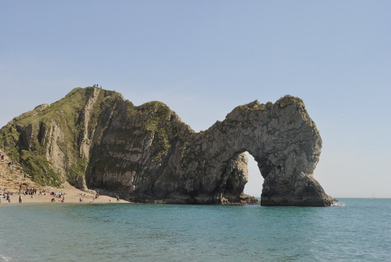
Must See:
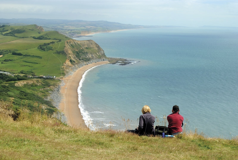
Nearly 100 miles of clifftops. Fossil-hunting at Lyme Regis. The quartzite pebbles of Budleigh Salterton. Tree trunks of 150 million years ago at Lulworth Cove. The Cretaceous sea that carved right across England. Chalk downland and a rude man at Cerne Abbas. The Purbeck crumple zone caused by Italy's impact with Europe.
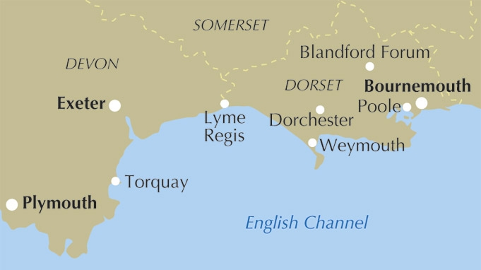
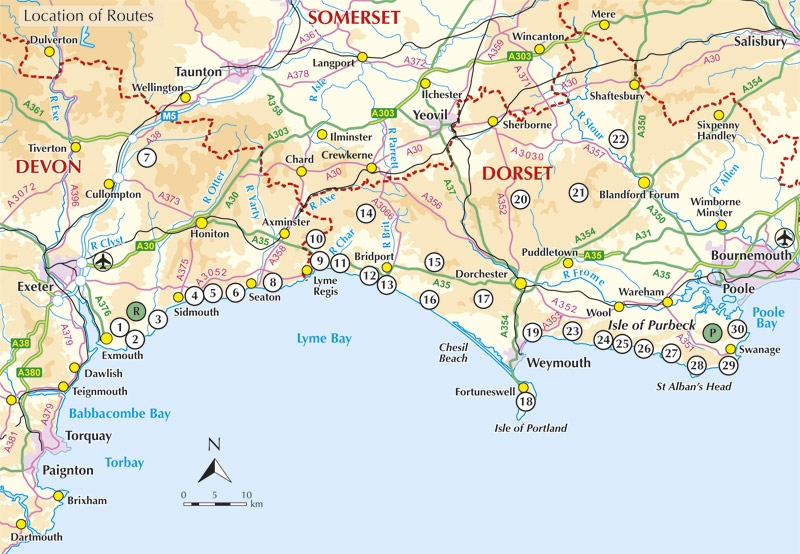
Locatie op kaart
Artikelen uit dezelfde regio

Reisgids Dorset- Hampshire & Isle of Wight - Rough guides • 9781789197129
Dorset- Hampshire & Isle of Wight - Rough guides Productomschrijving: Van prachtige stranden tot middeleeuwse bossen, van landelijke pubs tot hotels aan zee, The Rough Guide to Dorset, Hampshire & the Isle of Wight is de ultieme gids voor dit prachtige deel van Engeland. Onze deskundige auteurs laten u alle hoogtepunten van de regio zien en vertellen u over de geheime plekjes waar de lokal…

Wandelkaart 139 - Bideford & Ilfracombe- Devon - OSI • 9780319243329
Wandelkaart Bideford- Ilfracombe & Barnstaple - Devon England Productbeschrijving: - Woolacombe & Lundy. 139 / Bideford, Ilfracombe & Barnstaple, Devon, England - Kaart nummer 139 in de OS Explorer reeks omvat Ilfracombe, Bideford, Barnstaple, Westward Ho!, Woolacombe, en Lundy Island, en laat een deel van de South West Coast Path zien. De OS Explorer kaart voor Bideford, Ilfracombe & …

Wandelkaart 112 Launceston & Holsworthy Devon - OSI • 9780319243138
Wandelkaart Launceston & Holsworthy - Devon England - OSI Productomschrijving: - Roadford Lake. Kaart nummer 112 omvat Holsworthy en Launceston. Hoogtepunten zijn Dartmoor National Park, Tamar Valley en Roadford Lake. Omvat ook Sheepwash, Milton Abbot, Lifton en Chapmans Well. De OS Explorer kaart voor Launceston & Holsworthy is beschikbaar in zowel de standaard papieren versie als de …

Fietskaart Dartmoor - South Devon - Goldeneye • 9781859652473
Fietskaart Dartmoor South Devon - Goldeneye Productomschrijving: Een gloednieuwe overzichtskaarten van het bewonderenswaardige nationale park van Devon in England, namelijk Dartmoor NP. De kaart omvat 18 cirkelvormige fietsroutes in het park, als ook 27 nationale fietsroutes. •18 circular routes overprinted on map •National Cycle Network routes 27 (Coast to Coast) 2 (Southern Coasta…

Wandelkaart 194 Dorchester & Weymouth Dorset - OSI • 9780319475171
Wandelkaart Dorchester & Weymouth - England Productbeschrijving: Landranger kaart 194 behandelt de zandstranden en de glooiende heuvels van kust Dorset. U kunt het South West Coast Path nemen voor mooie uitzichten, over langs het kanaal en de verschillende geologie van de Jurassic kustlijn en de kalksteen Isle of Portland. De OS Landranger kaarten reeks heeft betrekking op Groot-Britta…