
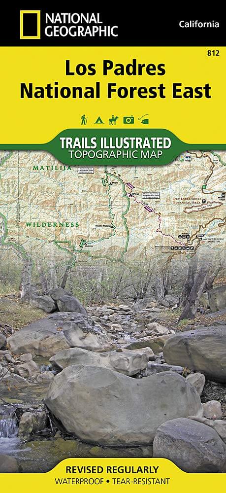
Wandelkaart 812 Los Padres Nat. Forest East - Natgeo
Het bos is uitermate gekend voor mountainbikers en hikers
Korte omschrijving
TOPO Wandelkaart 812 - Los Padres Nat. Forest East - Natgeo Productomschrijving: Los Padres National Forest is een bosgebied in Amerika, meerbepaald in oost- en centraal California. Het bos ...

Specificaties
- Uitgever: National Geographic
- ISBN-13: 9781566955805
- HOOFDCATEGORIEËN: Wandelkaart
- Regio: Californië, USA
- Land: Verenigde Staten van Amerika (USA)
- Regionale parken: Los Padres National Forest, California USA
- Schaal: 1:80000
- Afmeting: 10x19
- Taal: Engels
Volledige omschrijving
TOPO Wandelkaart 812 - Los Padres Nat. Forest East - Natgeo
Productomschrijving: Los Padres National Forest is een bosgebied in Amerika, meerbepaald in oost- en centraal California. Het bos is uitermate gekend voor mountainbikers en hikers.
Engelse omschrijving: One of the most diverse National Forests in the United States, Los Padres National Forest provides recreation opportunities for a enormous population base in central and southern California. National Geographic's Trails Illustrated map of Los Padres National Forest East will serve outdoor enthusiasts looking to enjoy the wide range of activities that the National Forest has to offer. Expertly researched and created in partnership with the U.S. Forest Service, California State Parks and others, the maps covers with unparalleled detail the area from Santa Barbara in the west to the National Forest's eastern boundary with Angeles National Forest. Coverage includes many popular points of interest, including Chumash, Dick Smith, Matilija and Sespe Wilderness Area; Sisquoc, Sespe Creek and Piru Creek Scenic Rivers; Fort Tejon and El Presidio de Santa Barbara State Historic Parks; Hungry Valley Recreation Area; and Carpinteria State Beach.
Navigate the area by following mapped trails, including many National Recreation Trails, shown with mileage markers and labeled according to designated usage, whether exploring on foot, horseback, mountain bike, motorcycle or ATV. To aid in your navigation, the map displays contour lines, elevations, labeled peaks and summits, water features, numbered Forest Service roads and OHV routes, and color-coded boundaries between different land management agencies. Among the many recreation spots pinpointed include areas for camping, picnics, boat launching, fishing, swimming, surfing, widlife viewing and winter recreation. The Jacinto Reyes and San Marcos Pass Road Scenic Byways are marked for those wishing to explore the by car. Every Trails Illustrated map is printed on "Backcountry Tough" waterproof, tear-resistant paper. A full UTM grid is printed on the map to aid with GPS navigation.
Other features found on this map include: Angeles National Forest, Carpinteria, Chumash Wilderness, Dick Smith Wilderness, Fillmore, Lake Casitas, Lake Piru, Los Padres National Forest, Matilija Wilderness, Piru Creek, Pyramid Lake, San Emigdio Mountains, San Rafael Wilderness, Santa Barbara, Santa Ynez Mountains, Sespe Creek, Sespe Wilderness, Tejon Pass.
.png)
Locatie op kaart
Artikelen uit dezelfde regio

Wandelkaart 206 Yosemite NP - California - Nat Geo • 9781566952996
TOPO Wandelkaart 206 - Yosemite NP- California - Nat geo Productomschrijving: Yosemite National Park, wat een parel van schoonheid en tegelijk wereld bekend, is een nationaal park in het oosten van de Amerikaanse staat Californië. Hij ligt op de westelijke flanken van de centrale Sierra Nevada, in het oosten van Tuolumne, Mariposa en Madera County. Engelse omschrijving: Explore the maj…

Reisgids San Francisco - Gallimard • 9782742453474
Reisgids San Francisco - Gallimard Productomschrijving: Van Chinatown tot de Golden Gate Bridge, van Mission tot Twin Peakes, van SFMoMa tot het Asian Art Museum, van Potrero tot Haight-Ashbury, San Francisco ontvouwt zich in een oogwenk met een gids als geen ander. Franse omschrijving: De Chinatown au Golden Gate Bridge, de Mission à Twin Peakes, du SFMoMa à l'Asian Art Museum, …

Reisgids L'essentiel de la Californie - Lonely Planet • 9782816193367
L'essentiel de la Californie - Lonely Planet Productomschrijving: De Lonely Planet gids voor het beste van Californië. Een full-color gids, geïllustreerd met honderden foto's. Met Sonoma Valley, de Pacific Coast Highway, Yosemite, de themaparken, San Francisco, Lake Tahoe, Death Valley... alle must-sees van de regio in deze bundel. De beste dingen om te zien en te doen in de regio, ger…

Wandelkaart 807 Carson-Iceberg- Nat.Geo • 9781566952651
TOPO Wandelkaart 807 - Carson-Iceberg- Nat.Geo Productomschrijving: Een verzameling aan nationale bosgebieden op één kaart en gelegen in Calofornia. Engelse omschrijving: Expertly researched and created in partnership with the U.S. Forest Service and others, National Geographic's Trails Illustrated map of Yuba and American Rivers region of Tahoe National Forest provides an unparalleled…

Wandelkaart 1001 - John Muir Trail - Nat Geo • 9781566956895
TOPO Wandelkaart 1001 - John Muir Trail - National Geographic Productomschrijving: De John Muir Trail - is een langeafstandswandelpad in het Sierra Nevada-gebergte in de Amerikaanse staat Californië. Het is vernoemd naar de Schots-Amerikaanse natuurvorser en schrijver John Muir, die een cruciale rol speelde in de bescherming van de nationale parken van Californië. Het 338,6 kilometer lange…