

Wandelkaart OL24 Peak District & White Peak area - OSI
Een nationaal park van formaat


Korte omschrijving
Wandelkaarten Derbyshire, England van Ordnance Survey. Ideaal voor tochten in England.
Wandelkaart Peak District & White Peak area - Engels Productomschrijving: Kaart nummer OL 24 in de OS Explorer-serie beslaat het Peak District-gebied rond Buxton, Bakewell, Matlock en Dove D...

Specificaties
- Uitgever: Ordnance Survey
- ISBN-13: 9780319475720
- HOOFDCATEGORIEËN: Wandelkaart
- Activiteiten: Wandelen, Hiking & Trekking
- Regio: Derbyshire, England
- Land: England
- Waterafstotende kaart: Ordnance Survey ACTIVE Explorer Weatherproof Maps
- Nationale parken: Peak District NP, Derbyshire UK
- TOPO's & Stafkaarten: Topografisch wandelen
- Schaal: 1:25000
- Taal: Engels
- Reeks/Serie: Landranger ACTIVE series OSI
- De Engelse Graafschappen: Derbyshire, South Yorkshire
- De Nationale Parken: Peak District Nationaal Park, England
Volledige omschrijving
Wandelkaart Peak District & White Peak area - Engels
Productomschrijving: Kaart nummer OL 24 in de OS Explorer-serie beslaat het Peak District-gebied rond Buxton, Bakewell, Matlock en Dove Dale en is de perfecte kaart om te gebruiken bij het verkennen van het White Peak-gebied. Het landschap is een traktatie voor buitenenthousiasten die de ontsluitingen van lichtgekleurde kalksteen kunnen zien die het gebied zijn naam geven.
Engelse omschrijving: Map sheet number OL 24 in the OS Explorer series covers the Peak District area surrounding Buxton, Bakewell, Matlock and Dove Dale and is the perfect map to use when exploring the White Peak area. The scenery is a treat for outdoors enthusiasts who will be able to see the outcrops of light coloured limestone that give the area its name.
Highlights include: Castle rock, Middleton Dale, Derbyshire Dales, The Roaches, Buxton, Bakewell, Matlock, Dovedale, Chatsworth House, limestone caves, and the thermal springs at Middleton Stoney.
The OS Explorer map for The Peak District - White Peak Area is available in both the standard paper version and weatherproof 'Active' version. Whether you’re a seasoned outdoor expert or a leisurely sightseer, with the OS Explorer OL24 map of the White Peaks to hand, you’ll be on the right track no matter where your adventure takes you. Trusted by outdoor enthusiasts from all walks of life, this easy-to-follow fold-up map is the perfect companion for all your excursions in the White Peaks area of the Peak District, from days out, to week-long hikes. Taking its name from its limestone landscape, this part of the Peaks is full of fascinating caves and dry river valleys to explore. If walking’s what you’ve set out to do, why not tackle the 25-mile long White Peaks Challenge?
Using the pretty town of Stoney Middleton as a base, serious climbers can take on ‘Our Father’, a challenging climb up Windy Buttress. Alternatively, head underground to explore over 3 000 metres of caves at the limestone gorge of Middleton Dale. There are bustling towns in the white peak area of the Peak District including Buxton and Matlock, or you could treat yourself to one of Bakewell's legendary tarts. Whether you’re passionate about cycling and sightseeing, or rambling and riding, you’ll get the most out of your days out in the White Peaks with the OS Explorer OL24 map to guide you. You’ll find every fine detail covered, from rivers to rights of way, as well as a wealth of information you won’t find on other maps.

Locatie op kaart
Artikelen uit dezelfde regio
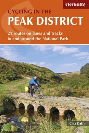
Fietsgids Peak District cycling - Cicerone • 9781852848781
Fietsgids - Peak District cycling - Cicerone Productomschrijving: Fietsgids over het Peak district, die routes beschrijft in- en rond het National Park, op de weg of op de talrijke fietsroutes. 20 dag routes en één meerdaags fietsroute door het Peak District. Allemaal gemakkelijk toegankelijke routes vanuit Sheffield en Manchester, met routes vanaf het charmante Derbyshire, met steden zoal…

Wandelgids Derbyshire walking guide - Cicerone • 9781852846336
Wandelgids - Derbyshire walking guide - Cicerone Productomschrijving: Een handige gids die 60 circulaire dagwandelingen beschrijft, variërend van eenvoudig tot matig, in termen van moeilijkheden en terrein, die geschikt zijn voor het hele gezin. Derbyshire beschikt over een interessante geschiedenis die ook door middel van deze routes onderzocht kan worden, en elk thema rond een specifieke…

Wandelkaart 259 Derby & Utoxeter- Derbyshire - OSI • 9780319244562
Wandelkaart Derby & Utoxeter - Derbyshire England Omvat ook: Uttoxeter, Ashbourne & Cheadle. 259 / Derby & Utoxeter, Derbyshire, England - Kaart nummer 259 in de OS Explorer reeks omvat Ashbourne, Uttoxeter, Cheadle en Derby in het Peak District National Park. Hoogtepunten van het gebied zijn onder andere: rivier Dove, rivier Churnet en lange afstand paden zoals Centenary way, Derwent …
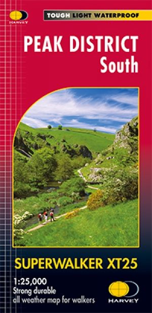
Wandelkaart XT25 Peak District Zuid - Harvey maps • 9781851375523
Wandelkaart - Peak District Zuid - XT25 - Harvey maps Productomschrijving: Het Nationaal park Peak District is een zeer heuvelrijk nationaal park in het noorden van Engeland. Meestal wordt het onderverdeeld in het noordelijke Dark Peak, waar vooral veel heidegebieden zijn, en het zuidelijke White Peak, waar de meeste mensen wonen. Het is een bekend recreatiegebied en een plaats om bepaalde…
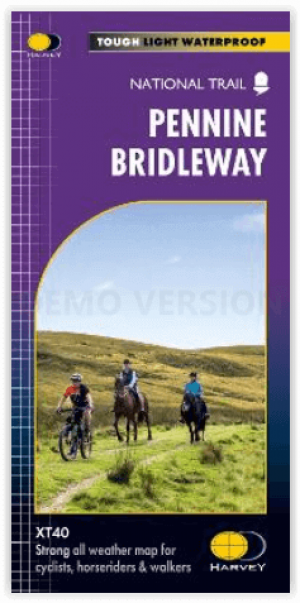
Wandelkaart Pennine Bridleway - Harvey Maps • 9781851376407
Pennine Bridleway 330 km - Harvey Maps Productomschrijving: De Pennine Bridleway is een nationaal pad van 330 km (205 mijl) dat door de Pennine Hills loopt van Derbyshire naar Cumbria. De route is ontworpen voor ruiters en fietsers, maar kan ook door wandelaars worden gebruikt. Engelse omschrijving: The Pennine Bridleway is a 330 km (205 mile) National Trail that runs through the Penni…