
HOOFDCATEGORIEËN
Activiteiten
Reeks/Serie:
Land
Regio
Schaal
Taal
Nationale parken
TOPO's & Stafkaarten
UNESCO werelderfgoed
Uitgever

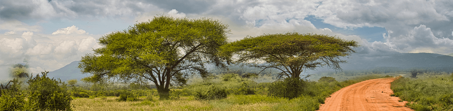
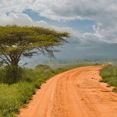
Gedetailleerde Wegenkaarten Afrika voor Roadtrip & Safari
Gedetailleerde Wegenkaarten Afrika voor Roadtrip & Safari,
Voor een echte roadtrip of safari in Afrika is een digitale kaart simpelweg niet genoeg. Gedetailleerde wegenkaarten Afrika bieden een nauwkeurige weergave van hoofdwegen, graveltracks, bergpassen en seizoensgebonden paden. Ze markeren belangrijke punten zoals waterbronnen, tankstations en toegangspoorten tot Nationale Parken. Dit maakt ze onmisbaar voor iedereen die zelf wil rijden door gebieden waar mobiel internet schaars is.
Met zo’n kaart kun je flexibel inspelen op onverwachte omstandigheden zoals omleidingen of gesloten wegen tijdens het regenseizoen. Je ziet in één oogopslag alternatieve routes en realistische afstanden tussen dorpen of grensposten. Wie naast autoroutes ook wandelpaden wil ontdekken, vindt waardevolle achtergrondinformatie in de Wandelgids Afrika. Deze gidsen beschrijven prachtige trails en bieden topografische gegevens die je digitale kaart mist. Voor bredere reisplanning, van visuminformatie tot overnachtingsmogelijkheden, is de Reisgids Afrika een ideale aanvulling.
Door een gedetailleerde wegenkaart te combineren met deze gidsen plan je niet alleen je route, maar ook je dagindeling en activiteiten onderweg. Zo wordt een safari geen haastig avontuur, maar een doordachte ontdekkingsreis. Of je nu de savannes van Tanzania doorkruist of de bergen van Ethiopië verkent, een papieren kaart en de juiste gidsen geven je de vrijheid om onbekende paden te verkennen zonder onnodig risico.


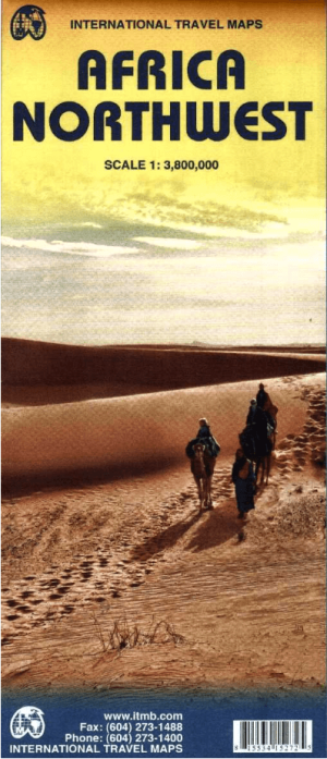
Landkaart Wegenkaart Noordwest Afrika - ITMB • 9781553415275
Wegenkaart Noordwest Afrika - ITMB Productomschrijving: This map is printed double-sided with the western coastal segment on one side and the eastern half on the other. The coverage of this map is from Morocco in the west to the Libyan/Egyptian border and from Senegal and Liberia in the southwest to the Chad/Sudan border in the southeast. Legend includes: road by classification, motorw…
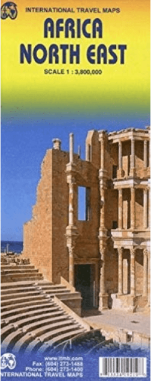
Landkaart Wegenkaart Noordoost Afrika - ITMB • 9781553419211
Wegenkaart Noordoost Afrika - ITMB Productomschrijving: The essential areas of coverage are Libya and Egypt in the north, with Sudan/South Sudan, Ethiopia/Eritrea in the middle and Kenya/Uganda in the south, with a fair portion of Tanzania and Congo thrown in simply because it fits. Being a regional map, it is useful for the 'big' picture. It is quite detailed, showing roads, towns, and ma…
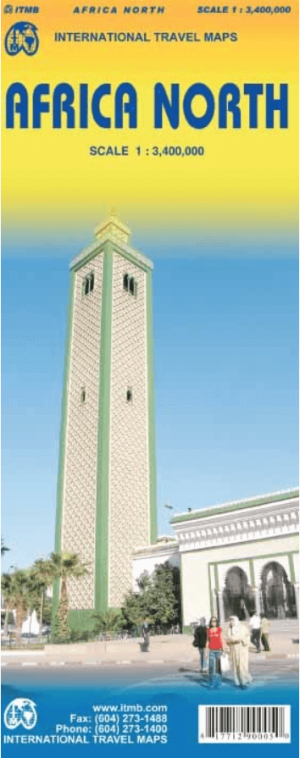
Landkaart Wegenkaart Noord Afrika - ITMB • 9781771290005
Wegenkaart Noord Afrika - ITMB Productomschrijving: Een degelijke wegenkaart met aanduidingen van o.a. nationale parken, vliegveld, benzinepomp, dirt-roads. Als overzichtskaart goed te gebruiken. This map is one of the first of our enhanced scale maps that will gradually become the norm for regional maps of parts of the African continent. This map is also unique in that it does what I …
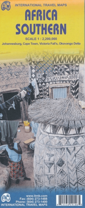
Landkaart Wegenkaart Zuidelijk Afrika - ITMB • 9781553419143
Wegenkaart Zuidelijk Afrika - ITMB Productomschrijving: Met extra kaarten van Johannesburg - Kaapstad - Victoria Falls - Okavango Delta This map is the updated version of our previous map, which was called Southern Africa, covering the southernmost portion of Africa. It is also the most developed part of the continent, with the densest road network and number of urban areas on the cont…
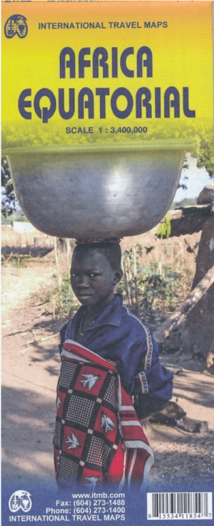
Landkaart Wegenkaart Afrika Equatoriaal - ITMB • 9781553411857
Wegenkaart Equatoriaal Afrika - ITMB Productomschrijving: This is the third regional map covering the African continent and covers the portion just south of Nigeria/Cameroun that, essentially, straddles the equator. ITMB has divided the southern half of the African continent into three double-sided sheets at a better scale. This is the first one, covering Africa as far south as Zambia, wit…
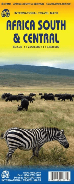
Landkaart Wegenkaart Afrika Zuid & Midden - ITMB • 9781553412731
Wegenkaart Afrika Zuid & Midden - ITMB Productomschrijving: Deze kaart dekt dat deel van het continent dat door oude Afrikaanse handen altijd 'centraal' wordt genoemd, oftewel Rhodesië en Nyasaland - nu bekend als Zambia, Malawi en Zimbabwe. By its shape, generous portions of the southern portions of DEM Congo, the eastern third of Angola, the northern half of Mozambique, and Botswana'…
Landkaart Wegenkaart Afrika - ITMB • 9781771290173
Wegenkaart Afrika - ITMB Productomschrijving: This proper digital data base map of Africa covers the entire continent from top to bottom and east to west. All of Africa is portrayed, including the off-lying islands of Cape Verde, the Canaries, Madeira, Socotra, the Comoros and Madagascar. Although we have shown areas of border dispute, we show boundaries as they are. Finally, we have used …
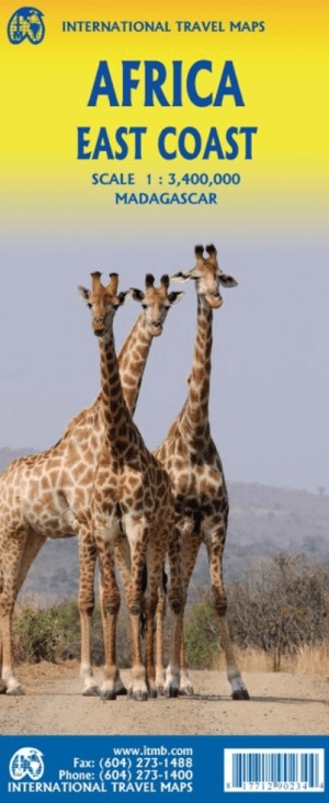
Landkaart Wegenkaart Afrika Oostkust - ITMB • 9781771290234
Wegenkaart Afrika Oostkust - ITMB Productomschrijving: Map covering the entire coastline of the Indian Ocean portion of Africa, from Djibouti all the way south to Port Elizabeth, in South Africa. This double-sided map encompasses a vast region, including all of Djibouti, Somalia, Kenya, Uganda, Tanzania, Rwanda, Burundi, Mozambique, Malawi, Zimbabwe, Lesotho, and Swaziland (which now prefe…
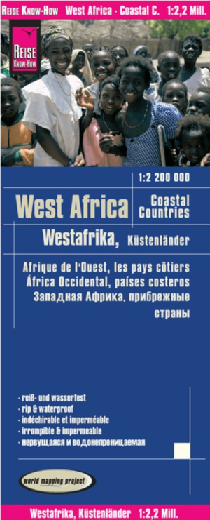
Landkaart Wegenkaart West Afrikaanse kustlanden - Reise Know How • 9783831774272
Wegenkaart West Afrikaanse kustlanden - Reise Know-How Productomschrijving: Reis Know-How-kaarten (wereldkaart-projectreeks) zijn gemakkelijk te lezen, waterdichte en zeer duurzame reiskaarten die speciaal zijn ontworpen voor dagelijks gebruik op de weg. Onze kaarten combineren state-of-the-art, GPS-compatibele cartografie (inclusief hypsometrische tinten en contourlijnen) met een gedetail…
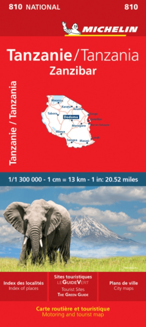
Wegenkaart Landkaart 810 Tanzania & Zanzibar - Michelin • 9782067242586
Wegenkaart Tanzania & Zanzibar - Michelin Productomschrijving: Ontdek de wereld met de rode Michelin wegenkaarten (schaal 1:300.000) Omvat: Arusha, Dar es Salaam, Dodoma, Karatu, Lindi, Masasi, Mbeya, Morogoro, Mwanza, Songea, Tabora, Tanga, Tanzanie, Zanzibar. De rode Michelin wegenkaarten met schaal 1:300.000 zijn dé betrouwbare partner voor elke reis. Deze gedetailleerde kaarte…
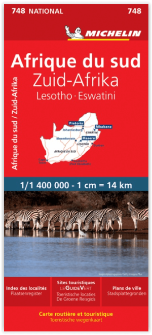
Landkaart Wegenkaart 748 Zuid-Afrika - Michelin • 9782067228986
Wegenkaart Zuid-Afrika - Michelin Productomschrijving: Deze Nationale kaart van Zuid Afrika, werd ontwikkeld, om zich snel uit de voeten wil maken, met plaatsnamenindex, en toeristische informatie, geven u alle elementen om dat werkelijkheid te maken. De kaarten zijn gemakkelijk leesbaar en gedrukt op sterk papier. De rode Michelin wegenkaarten met schaal 1:300.000 zijn dé betrouwbare …
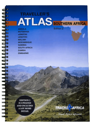
Wegenatlas Southern Africa - Slingsby Maps • 9780994720870
Wegenatlas Southern Africa - tracks 4 Afrika Productomschrijving: The Atlas is printed in A3 size, weighs 2.75kg, has a hard laminated cover, ring bound for ease of use and printed on thicker than normal paper to ensure durability. This Atlas covers ten countries in Southern Africa and is specifically aimed at self-drive travellers. The countries included are: Angola, Botswana, Lesotho, M…

Landkaart Wegenkaart SC1 & SC2 Cape Town > Montagu- Tracks4Afrika • 9781776322749
Wegenkaart SC1 & SC2 Cape Town > Montagu Productomschrijving: SC1 & SC2 : Cape Peninsula, Boland, Winelands, False Bay, Walker Bay and the Overberg region. Omvat: Cape Peninsula, Boland, Winelands, False Bay, Walker Bay and the Overberg region. The Cape to Addo map series covers the southern parts of the Western Cape of South Africa in a series of eight highly detailed maps, print…

Landkaart Wegenkaart SC3 & SC4 Swellendam > Mossel Bay • 9781776322756
Wegenkaart SC3 & SC4 Swellendam > Mossel Bay Productomschrijving: SC3 & SC4 : Overberg, Klein Karoo along the R62, part of the Garden Route The Cape to Addo map series covers the southern parts of the Western Cape of South Africa in a series of eight highly detailed maps, printed on four sheets of A1 durable paper. We start in Cape Town in the west and move along the southern coast th…
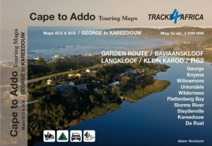
Landkaart Wegenkaart SC5 & SC6 George > Kareedouw - Tracks4Afrika • 9781776322763
Wegenkaart SC5 & SC6 George > Kareedouw Productomschrijving: SC5 & SC6 : Garden Route / Baviaanskloof Includes: George, Knysna, Willowmore, Uniondale, Wilderness, Plettenberg Bay, Storms River, Steytlerville and Kareedouw. The Cape to Addo map series covers the southern parts of the Western Cape of South Africa in a series of eight highly detailed maps, printed on four sheets of A…

Landkaart Wegenkaart SC7 & SC8 Baviaanskloof > Addo Tracks4Afrika • 9781776322770
Wegenkaart SC7 & SC8 Baviaanskloof > Addo Elephant Park Productomschrijving: SC7 & SC8 : Baviaanskloof / Addo Elephant National Park Includes: Cape St. Francis, Humansdorp, Patensie, Jansenville, Jeffrey’s Bay, Kariega (Uitenhage), Kirkwood, Paterson, Colchester, Alexandria and Gqeberha (Port Elizabeth). The Cape to Addo map series covers the southern parts of the Western Cape of …
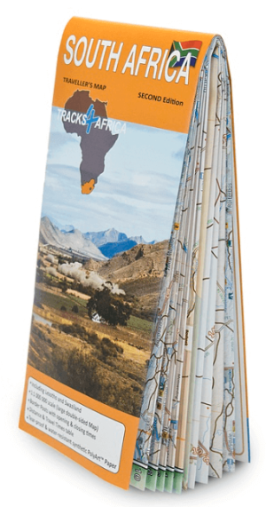
Landkaart Wegenkaart Zuid-Afrika 100 incl. Lesotho & Swaziland • 9780994720801
Wegenkaart Zuid-Afrika - Tracks4Afrika Productomschrijving: Kenmerkend voor deze kaart is de combinatie van geografische informatie en GPS verwijzingen, ideaal voor 4x4 routes. Verder bevat de kaart een plaatsnamenregister, aparte kaartjes van de Nationale parken en stadsplannen van de belangrijkste steden uit de regio. Deze kaart bied u het perfecte instrument om uw volgende reis te p…

Landkaart Wegenkaart Planning map Afrika - Lonely Planet • 9781788685894
Wegenkaart & Planning map Afrika - Lonely Planet Productomschrijving: From Lonely Planet: The world's number one travel guide publisher* Durable and waterproof, with a handy slipcase and an easy-fold format, Lonely Planet's Africa Planning Map helps you explore with ease. Get more from your map and your trip with images and information about top attractions, itinerary suggestions and theme…
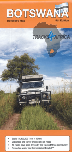
Landkaart Wegenkaart 20 Botswana - Tracks4afrika • 9781776322824
Wegenkaart Botswana - Tracks4afrika Productomschrijving: Gedetailleerde kaarten van de Okavango Delta, Mabuasehube, Savuti, Gaborone, Maun, Kasane, Khwai East en West Kenmerkend voor deze kaart is de combinatie van geografische informatie en GPS verwijzingen, ideaal voor 4x4 routes. Verder bevat de kaart een plaatsnamenregister, aparte kaartjes van de Nationale parken en stadsplannen …
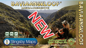
Landkaart Wegenkaart South Africa: Baviaanskloof - Slingsby Maps • 9781920377502
Wegenkaart Baviaanskloof South Africa - Slingsby Productomschrijving: South Africa: Baviaanskloof. Whether you’re a hiker, mountain biker or 4×4 enthusiast this is the map you need for your visit to the spectacular Baviaanskloof. The map is fully GPS-compatible and will enable you to explore this fabulous, rugged wilderness, its geological marvels, extraordinary flora and fauna, and t…
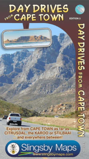
Landkaart Wegenkaart Cape Town Day Drives - Slingsby Maps • 9781920377342
Wegenkaart Cape Town Day Drives - Slingsby Productomschrijving: Day Drives from Cape Town. Our Day Drives from Cape Town map is the most comprehensive map available of the heartland of the Western Cape. The map shows all the roads, towns and relief of the area from Cape Town north to Citrusdal, north-east to Laingsburg and east to Stilbaai / Albertinia: all destinations within easy mo…
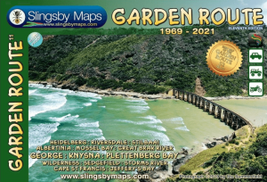
Landkaart Wegenkaart Garden Route NP Zuid Afrika - Slingsby Maps • 9781920377472
Wegenkaart Garden Route NP, West kaap Zuid Afrika - Slingsby Productomschrijving: Brand new 11th edition of the FIRST and still the BEST Garden Route map … Now thoroughly updated. From Witsand and Heidelberg in the west, this all new map has been extended eastwards through Mossel Bay, George, Knysna and Plett to include Jefferys Bay and the Gamtoos RIver Mouth – with fully updated Tou…

Landkaart Wegenkaart Overberg Whale Coast - Slingsby Maps • 9781920377533
Wegenkaart Overberg Whale Coast - Slingsby Maps Productomschrijving: Overberg Whale Coast, West-kaap Zuid Afrika The Overberg is one of the premier tourist regions of South Africa. Here the Cape Fold Mountains march eastward from Sir Lowry’s Pass, a rugged backdrop to this old Cape landscape of farmsteads, gravel passes and unspoiled views. Delightful towns await you – historic Swelle…
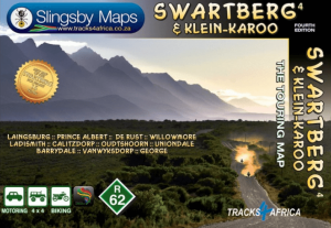
Landkaart Wegenkaart 4 Zuid-Afrika Swartberg & Klein-Karoo • 9781776322787
Wegenkaart Zuid-Afrika Swartberg & Klein-Karoo - Tracks4Afrika Productomschrijving: Swartberg & Klein-Karoo The Swartberg is the mightiest mountain range in the Western Cape, with peaks up to 2400 metres, fantastic ravines, gorges and poorts, amazing mountain passes, lost corners and a history as rich as its flora and fauna. The mountains frame the northern edge of the Klein-Karoo, th…

Landkaart Wegenkaart 6 Wild Coast South Africa - Tracks4afrika • 9781920377410
Wegenkaart Wild Coast South Africa - Tracks4afrika Productomschrijving: Wild Coast, Brand new 6th Edition of this great map : for 15 years the best and only detailed touring map of the Wild Coast! The Wild Coast is a wilderness paradise, strewn with natural wonders. Over one hundred lagoons thread this romantic coast, pristine beaches await fishermen, surfers and holiday makers; might…
Afrikaanse Autoroutes en Wegenkaarten voor lange reizen
Afrikaanse Autoroutes en Wegenkaarten voor lange reizen,
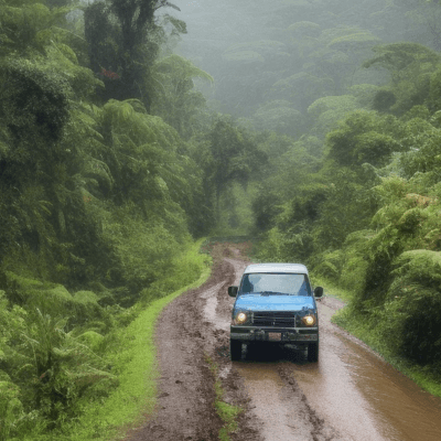
Wie meerdere landen in Afrika doorkruist, kan niet zonder Afrikaanse autoroutes en wegenkaarten die het hele continent in kaart brengen. Ze tonen niet alleen de belangrijkste snelwegen maar ook regionale verbindingen en minder bekende trajecten die je route aanzienlijk kunnen verkorten. Zo weet je precies welke afstand haalbaar is op een dag en waar je brandstof of overnachting vindt.
Een papieren kaart is cruciaal wanneer je door afgelegen gebieden reist waar GPS-signalen zwak zijn of wegmarkeringen ontbreken. Je kunt er vooraf mee plannen, maar ook onderweg snel mee improviseren als een brug is ingestort of een grenspost gesloten blijkt. Voor extra context over cultuur, regelgeving en reisveiligheid is een blik op Reisgids Afrika waardevol. Deze gids biedt praktische tips over grensformaliteiten en lokale gebruiken.
Wie onderweg ook voettochten wil maken, kan bovendien terecht bij Wandelgidsen Afrika. Deze gidsen geven inzicht in natuurpaden en kortere wandelroutes die een lange roadtrip extra variatie bieden. De combinatie van betrouwbare wegenkaarten en deze themagidsen zorgt voor een veilig en flexibel reisschema, of je nu door de Sahara rijdt, de savannes verkent of de kustlijnen van Zuidelijk Afrika volgt. Met deze voorbereiding wordt elke lange rit een goed geplande, avontuurlijke ontdekkingsreis over het indrukwekkende Afrikaanse continent.
Afrika Wegenkaart – Complete Routekaart voor Reizigers
Afrika Wegenkaart – Complete Routekaart voor Reizigers,
Een degelijke Afrika wegenkaart is de basis voor elke serieuze rondreis of roadtrip door het Afrikaanse continent. Digitale navigatie faalt vaak zodra je afgelegen regio’s binnengaat, of wanneer mobiele netwerken onbetrouwbaar zijn. Een papieren routekaart blijft bruikbaar, ongeacht batterij of bereik, en toont zowel de grote autoroutes als secundaire wegen en onverharde paden. Zo kun je vooraf exact inschatten welke trajecten haalbaar zijn en waar je tankstations of overnachtingsmogelijkheden vindt.
Met een fysieke kaart bepaal je je eigen tempo en hoef je niet blind te varen op apps die soms verkeerde omleidingen aangeven. Ze zijn ideaal voor avonturiers die het onverwachte willen opzoeken, of voor reizigers die grensovergangen en lange afstanden efficiënt willen plannen. Wil je onderweg ook wandelingen maken in nationale parken of natuurreservaten, kijk dan eens naar Wandelgidsen Afrika. Deze gidsen vullen je planning aan met topografische details en lokale tips voor korte of meerdaagse tochten. Daarnaast bieden de Reisgidsen Afrika praktische informatie over cultuur, veiligheid en logies.
De combinatie van een uitgebreide wegenkaart en deze themagidsen zorgt voor een zorgeloze reis waarin je vrijheid en zekerheid slim verenigt. Met een complete routekaart in de hand wordt je roadtrip geen gok, maar een goed voorbereide ontdekkingstocht langs de indrukwekkende landschappen en culturen van Afrika.