

Landkaart Wegenkaart Wild Atlantic Way - Harper Collins
The Perfect Way to Explore Ireland's West Coast


Korte omschrijving
Wegen- & stadskaarten Ierland van HarperCollins Publishers. Ideaal voor tochten in Ierland.
WegenkaartThe Wild Atlantic Way - Harper Collins Productomschrijving: Handy full colour map of Ireland’s Wild Atlantic Way with a high level of detail. Clear mapping of the full 2500 km (ov...

Specificaties
- Uitgever: HarperCollins Publishers
- ISBN-13: 9780008580001
- HOOFDCATEGORIEËN: Wegenkaart - Landkaart
- Activiteiten: Street/Road maps & city plans
- Regio: Ierland
- Land: Ierland
- Taal: Engels
- Reeks/Serie: Pocket gidsen
Volledige omschrijving
WegenkaartThe Wild Atlantic Way - Harper Collins
Productomschrijving: Handy full colour map of Ireland’s Wild Atlantic Way with a high level of detail. Clear mapping of the full 2500 km (over 1500 miles), showing the road network and places of interest.Ideal for tourists, locals, hikers and adventurers. Places of interest marked including famous film locations.Excellent value and very detailed for its size.Clear, detailed, full colour Collins road mapping is presented in a handy format ideal for the pocket or handbag. It is excellent value and covers the whole of the Wild Atlantic Way.
This map includes:
• Clear mapping at a scale of 8.7 miles to 1 inch • National Tourist Routes showing best routes through the most scenic areas • Places of interest include film locations such as Star Wars • Tourist and signature locations clearly marked • Suggested itineraries • Detailed place names index • Ideal companion to a sat-nav – it enables route planning and route sense-checking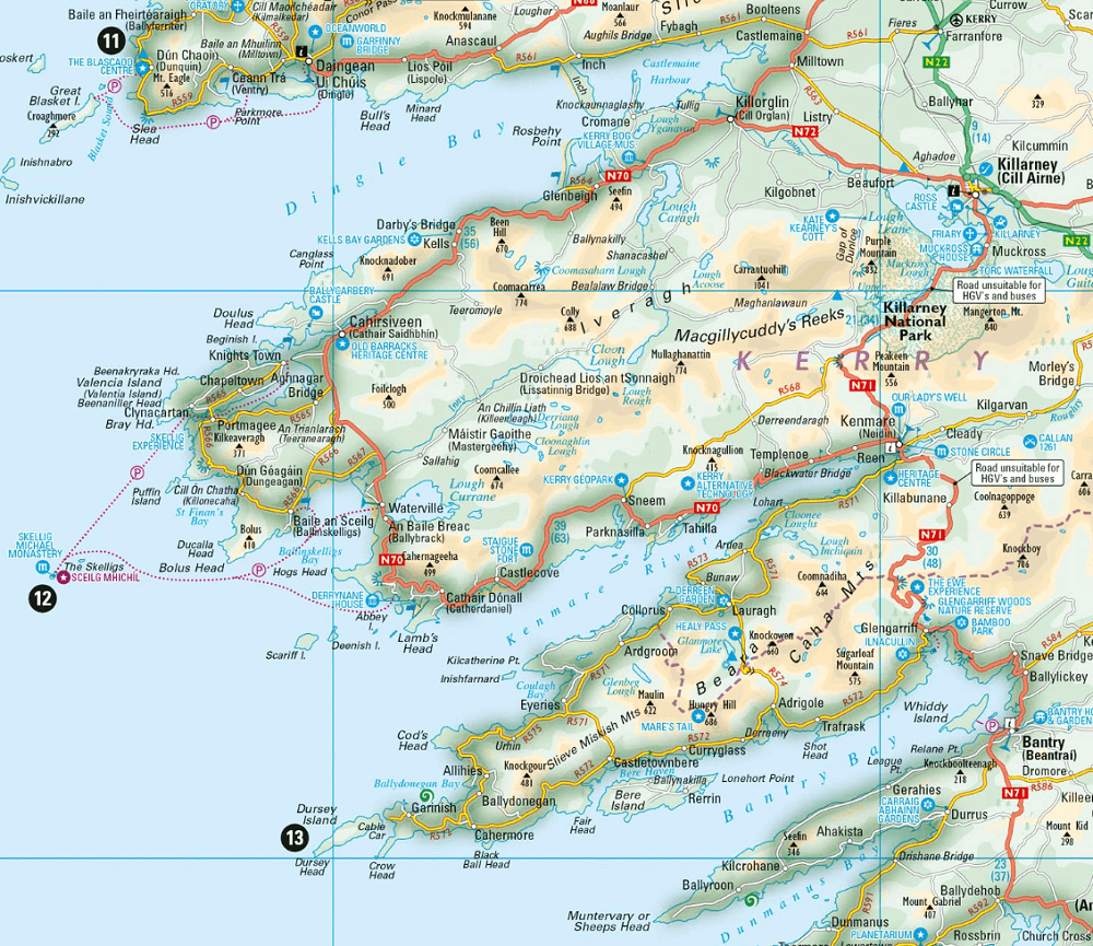
Artikelen uit dezelfde regio
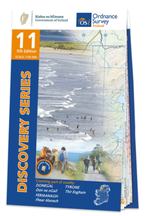
Wandelkaart 11 County Donegal South - OSI Ireland • 9781912140497
Wandelkaart Donegal South - OSI Productomschrijving: Ontdek Ierland met de Discovery Series Wandelkaarten van Ordnance Survey Ireland. De Discovery Series wandelkaarten van Ordnance Survey Ireland (OSi) zijn dé keuze voor wandelaars, fietsers en avonturiers die Ierland echt willen verkennen. Deze hoogwaardige topografische kaarten bieden een gedetailleerd en nauwkeurig overzicht van he…

Wandelgids 100 outstanding British Walks - Ordnance Survey • 9780319090862
100 outstanding British Walks - OS Productomschrijving: Deze gloednieuwe wandelgids van Ordnance Survey, brengt u een hoop prachtige wandelingen over het ganse Britse landschap verdeeld. Onderaan vindt u de lijst, opgedeeld in de verschillende regio's van de Britse eilanden. Engelse omschrijving: This magnificent compendium of outstanding British walks brings together the finest sele…
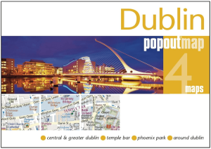
Stadskaart Plattegrond Popout map Dublin - Heartwood Publ. • 9781910218907
Popout map Dublin - Heartwood Publ. Productomschrijving: Laat PopOut Dublin je rondleiden door deze prachtige stad. Ervaar de Ierse charme van Dublin met behulp van deze pop-up kaart op zakformaat. Klein in formaat, maar groot in detail, deze compacte, betrouwbare Dublin stadsplattegrond zorgt ervoor dat je niets mist. * Bevat twee pop-up kaarten van het centrum en het grotere Dublin.…

Wandelkaart 10 County Donegal South West - OSI Ireland • 9781912140053
Wandelkaart Donegal South West Ireland - OSI Productomschrijving: Ontdek Ierland met de Discovery Series Wandelkaarten van Ordnance Survey Ireland. De Discovery Series wandelkaarten van Ordnance Survey Ireland (OSi) zijn dé keuze voor wandelaars, fietsers en avonturiers die Ierland echt willen verkennen. Deze hoogwaardige topografische kaarten bieden een gedetailleerd en nauwkeurig ove…

Landkaart Wegenkaart 2026 Ireland Road Map - Harper Collins • 9780008719241
Wegenkaart Ireland Road Map - Harper Collins Productomschrijving: Full-colour map of Ireland at 9 miles to 1 inch (1:570,240), with clear, detailed road network and counties and new administrative areas shown in colour. This double-sided map covers the whole of Ireland, and is ideal for reference or route planning. This map of Ireland shows the road network in detail. It is ideal for busin…