
Mountainbikegids Southern & Central Schotland - Cicerone
Beschrijft 21 mountainbike fietsroutes in Midden- en Z. Schotland

Korte omschrijving
Fietsgidsen Highlands, Schotland van CICERONE Press. Ideaal voor tochten in Schotland.
Mountainbikegids - Southern & Central Schotland - Cicerone Productomschrijving: Deze gids beschrijft 21 mountainbike fietsroutes in Midden- en Zuid-Schotland, met inbegrip van de 7 stanes in...

Specificaties
- Uitgever: CICERONE Press
- ISBN-13: 9781852847470
- HOOFDCATEGORIEËN: Fietsgids
- Activiteiten: Fietsen / VTT / MTB
- Regio: Highlands, Schotland
- Land: Schotland
- Editie: 1
- Taal: Engels
- VTT / MTB: Mountainbike, Vélo Tout Terrain
Volledige omschrijving
Mountainbikegids - Southern & Central Schotland - Cicerone
Productomschrijving: Deze gids beschrijft 21 mountainbike fietsroutes in Midden- en Zuid-Schotland, met inbegrip van de 7 stanes in Dumfries and Galloway, en crosscountry-routes in de Campsie Fells, Pentland Hills en Lammermuirs, de Galloway Forest, Tweed Vallei, Cheviots en Lowther Hills. De routes variëren van 16,5 tot 66km ingedeeld van matig tot zeer zwaar.
Productdescription: This guidebook describes 21 mountain biking routes in central and southern Scotland, including the 7stanes in Dumfries and Galloway, and cross country routes in the Campsie Fells, Pentland Hills and Lammermuirs, the Galloway Forest, Tweed Valley, Cheviots and Lowther Hills. The routes range from 16.5 to 66km graded from moderate to very hard.
Seasons:
Dry weather is hard to guarantee in Southern and Central Scotland though summer is the likeliest time for dry trails. However, every season has its charms - so long as rain and mud doesn't scare you - and winter really can be a wonderland.
Centres:
Glasgow, Milngavie, Greenock, Lochwinnoch, Glentrool, New Cumnock, Moniaive, Durisdeer, Wanlockhead, Sanquhar, Hownam, Kirk Yetholm, Peebles, Traquair, Innerleithen, Longformacus, Gifford, Balerno.
Difficulty:
The routes are intended for mountain bikers with at least some experience and a reasonable degree of fitness. There are no 'easy' routes in this guidebook, hence routes are graded 'moderate', 'hard' and 'very hard' Any 'difficult' or 'technical' sections are indicated. The general lack of signposts and other waymarkers endemic to Scotland makes navigation more of a challenge than in other parts of the UK.
Must See:
The Campsie Fells, the Pentland Hills and the Lammermuirs, the Galloway Forest, the Tweed Valley, the Cheviots and the Lowther Hills of Dumfriesshire.
Locatie op kaart
Artikelen uit dezelfde regio
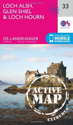
Wandelkaart 33 Loch Alsh- Glen Shiel & Loch Hourn - OSI • 9780319473566
Wandelkaart Loch Alsh, Glen Shiel & Loch Hourn - Highland's Productbeschrijving: OS Landranger kaart 33 toont de noordoostelijke kust van Schotland aan, de gebieden rond Glen Shiel en Glenkingie, evenals Loch Duich, Hourn Loch, Loch Alsh, Loch Nevis en Loch Quoich. De OS Landranger kaarten reeks heeft betrekking op Groot-Brittannië met 204 gedetailleerde kaarten, perfect voor dagtochten en…
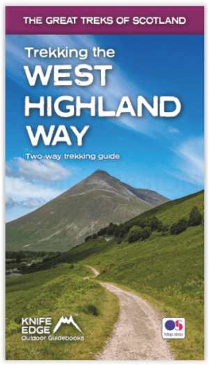
Wandelgids West Highland way trekking guide - Knife Edge • 9781912933112
West Highland way trekking guide - Knife Edge Productomschrijving: De West Highland Way, één van de "Great Trails" van Schotland, voert over een afstand van 96 mijl door een subliem landschap, van de buitenwijken van Glasgow naar Fort William. Tussendoor zijn er ontelbare prachtige bergen, prachtige valleien, glinsterende lochs en schijnbaar eindeloze kilometers paarse heide te beleven. De…

Wandelkaart 20 Beinn Dearg & Loch Broom Highlands - OSI • 9780319473436
Wandelkaart Beinn Dearg & Loch Broom - Highland's Schotland Productbeschrijving: OS Landranger kaart 20, beslaat het gebied ten noorden van de Schotse steden Acanalt, Grudie en Garve. Afgezien van de belangrijkste A835 heeft het gebied een paar hedendaagse tekenen van menselijke bewoning. De ervaren explorer krijgt de kans om hun eigen routes uit te zetten over dit landschap. De OS Lan…

Wandelgids Great Glen Way - Rucksack Readers • 9781898481874
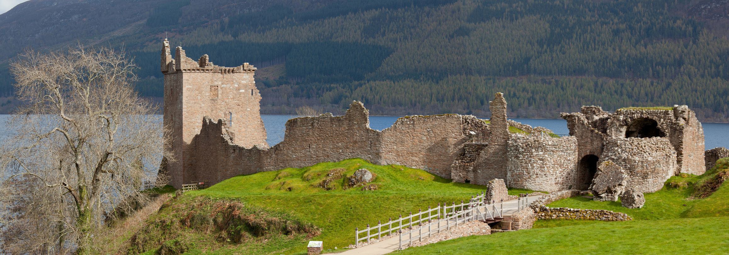
Wandelgids - Great Glen Way - Rucksack Readers Productomschirjving: De Great Glen Way loopt 124 km lang langs de Great Glen van Schotland tussen Fort William en Inverness. Het volgt het historische Caledonische kanaal en loopt langs vier van de mooiste meren van de Hooglanden, waaronder Loch Ness, beroemd om zijn monsterlegende en om Urquhart Castle. SecLons van de High Route bieden een pr…

Wandelkaart OL38 Loch Lomond South & Dumbarton - OSI • 9780319469569
Wandelkaart Loch Lomond South & Dumbarton Omvat ook: Dumbarton & Helensburgh Drymen & Cove Productbeschrijving: Kaart nummer OL 38 omvat Loch Lomond Zuid, Helensburgh & Dumbarton. Hoogtepunten zijn de Loch Lomond, het Trossarchs National Park en het Argyll Forest National Park. Ook de koningin Elizabeth Forest Park, Arden en Balloch. Deze kaart vervangt de vorige OS Explorer kaart 347 …