

Plano Wandkaart Engeland & Wales 76 x 92 cm - Nat Geo
Geplastificeerd


Korte omschrijving
Wandkaart Engeland & Wales 76 x 92 cm - Nat Geo Productomschrijving: National Geographic's Classic style wall map of England and Wales (Cymru) provides exceptional detail of two of the three...

Specificaties
- Uitgever: National Geographic
- ISBN-13: 9781597754880
- HOOFDCATEGORIEËN: Planokaart/opgerold
- Activiteiten: Plano politieke Wandkaart
- Regio: Engeland, Wales
- Land: United Kingdom, Great Britain
- Waterafstotende kaart: National Geographic, Geplastificeerd
- Schaal: 1:868000
- Taal: Engels
- Reeks/Serie: Planokaart/opgerold
- Wandkaarten & Planokaarten: Wandkaarten & Planokaarten
Volledige omschrijving
Wandkaart Engeland & Wales 76 x 92 cm - Nat Geo
Productomschrijving: National Geographic's Classic style wall map of England and Wales (Cymru) provides exceptional detail of two of the three regions that make up the island of Great Britain. The map features a bright color palette with blue oceans and terrain detailed in stunning shaded relief that has been a hallmark of National Geographic wall maps for over 75 years.
Administrative divisions are clearly defined and thousands of place names including cities, historical sites, bodies of water, national parks, and more are shown. The region's transportation infrastructure is detailed as well, with clearly indicated roads, motorways, airports, canals, ferry routes, and high-speed and passenger railroads. Coastal bathymetry is shown with depth curves and soundings.
In addition to England and Wales (Cymru), coverage includes portions of Scotland, Northern Ireland, Ireland, and France.
Afmeting: 76 x 92 cm
Artikelen uit dezelfde regio

Wandelgids 100 outstanding British Walks - Ordnance Survey • 9780319090862
100 outstanding British Walks - OS Productomschrijving: Deze gloednieuwe wandelgids van Ordnance Survey, brengt u een hoop prachtige wandelingen over het ganse Britse landschap verdeeld. Onderaan vindt u de lijst, opgedeeld in de verschillende regio's van de Britse eilanden. Engelse omschrijving: This magnificent compendium of outstanding British walks brings together the finest sele…

Reisgids England - Insight guides ENG • 9781839053405
Reisgids England - Insight guides Productomschrijving: Reizen gemakkelijk gemaakt. Vraag het de lokale experts. Uitgebreide reisgids boordevol inspirerende fotografie en fascinerende culturele inzichten, nu met gratis eBook. Van beslissen wanneer u gaat tot kiezen wat u gaat zien wanneer u aankomt, deze gids voor Engeland is alles wat u nodig hebt om uw perfecte reis te plannen, met inside…

Klimgids Ridges of England- Wales & Ireland - Cicerone • 9781852845391
Klimgids - Ridges of England- Wales & Ireland - Cicerone Productomschrijving: Een gids voor zomerscrambles, technische rockroutes en winterbeklimmingen op ruggen in het Lake District, Snowdonia, Peak District, Exmoor, het eiland Wight, Kerry en Connemara, die betrekking hebben op populaire klassiekers en duistere edelstenen, van scherpe rand naar skelet Ridges. Deze handleiding is met grot…
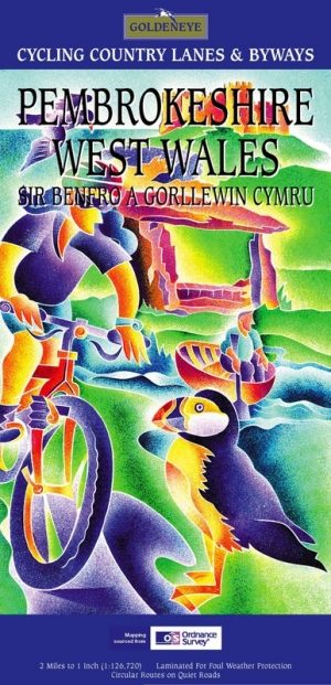
Fietskaart Pembrokeshire National Park - Goldeneye • 9781859651223
Fietskaart Pembrokeshire NP - West Wales - Goldeneye Productomschrijving: Pembrokeshire (Wels: Sir Benfro) is een bestuurlijk graafschap in het zuidwesten van Wales, gelegen in het ceremoniële behouden graafschap Dyfed. Een supergeschikte regio voor de fietser in het algemeen, rustig gelegen in de hoek van Wales. Het grenst in het oosten aan Carmarthenshire en in het noordoosten aan Ceredi…
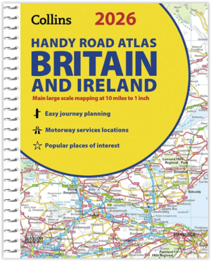
Wegenatlas Britain & Ireland road atlas A5-formaat - Collins • 9780008719227
Wegenatlas Britain & Ireland road atlas - Collins Productomschrijving: This easy-to-use, handy A5 sized road atlas with popular lie-flat spiral binding features extremely clear route planning maps of Britain and Ireland and fits neatly into your glove box or bag. The atlas has been fully updated. The maps of Britain are at 9.9 miles to 1 inch (1:625,000) and the whole of Ireland is co…