

Wandelgids Northumberland walking guide - Cicerone
36 graded walks of 4 to 14 miles


Korte omschrijving
Wandelgidsen Northumberland, Engeland van CICERONE Press. Ideaal voor tochten in England.
Wandelgids Northumberland walking guide - Cicerone Press Productomschrijving: Guidebook to walking in Northumberland. 36 graded walks of 4 to 14 miles, from the beautiful coast with its imme...

Specificaties
- Uitgever: CICERONE Press
- ISBN-13: 9781786311818
- HOOFDCATEGORIEËN: Wandelgids
- Activiteiten: Wandelen, Hiking & Trekking
- Auteur: Vivienne Crow
- Regio: Northumberland, Engeland
- Land: England
- Editie: 2
- Taal: Engels
- De Engelse Graafschappen: Northumberland
- De Nationale Parken: Northumberland National Park, England
Volledige omschrijving
Wandelgids Northumberland walking guide - Cicerone Press
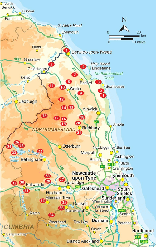
Productomschrijving: Guidebook to walking in Northumberland. 36 graded walks of 4 to 14 miles, from the beautiful coast with its immense, empty beaches and dramatic, crag-top castles to the remote hills of the Cheviots and Pennines AONB. Includes Hadrian's Wall, Lindisfarne Priory, Kielder, Berwick, Bamburgh and Dunstanburgh Castles and more.
Seasons:
It's always a great time to walk in Northumberland - each season holds its delights - but walkers need to be prepared for snow in the Cheviots and on the Pennines in winter.
Centres:
Lindisfarne, Craster, Berwick-upon-Tweed, Seahouses, Wooler, Rothbury, Allendale, Haltwhistle, Alwinton, Ingram, Kielder and many other villages.
Difficulty:
A wide selection of walks including full days on the hills and coast and shorter walks at lower levels. Terrain includes moorland, farmland, forest tracks, coastal paths and woodland trails. Routes range from 6 to 22km. No technical difficulties.
Must See:
The remote Cheviot Hills and impressive Iron Age forts; historic coastal routes, including the lesser-known side of Lindisfarne; Hadrian's Wall; the moors and valleys of the Pennines; Kielder Water and through its sprawling forests.
Artikelen uit dezelfde regio

Wandelgids The Pennine Way - Trailblazer • 9781912716333
The Pennine Way 420 km - Trailblazer Productomschrijving: De Pennine Way, het bekendste nationale pad van Groot-Brittannië, slingert zich 420 km over woeste heidevelden en door stille dalen langs de ruggengraat van Noord-Engeland. Het begint in Edale in het Peak District en eindigt net over de grens in Schotland bij Kirk Yetholm. Dit prachtige wandelpad doorkruist 3 nationale parken - het …

Wandelgids 039 Pathfinder Durham, North Pennines & Tyne & Wear OS • 9780319090411
Wandelgids Durham, North Pennines & Tyne & Wear - OS Productomschrijving: This walking guide covers both the Cumbrian and Durham sides of the North Pennines, a designated Area of Outstanding Beauty, and also extends eastwards to Durham to the North Sea Coast. The area contains some of the finest moorland in the country, walks across Bowes Moor and Holwick as well as low-level walks beside …
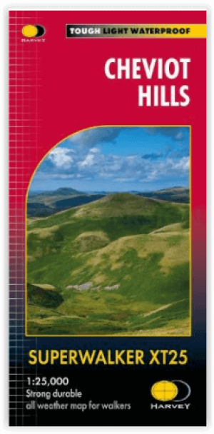
Wandelkaart XT25 Cheviot Hills - Harvey Maps • 9781851376094
Wandelkaart Cheviot Hills - Harvey Maps Productomschrijving: Ideaal voor The Cheviot, Windy Gyle en het noordelijke deel van Northumberland National Park. Omvat: Wooler, Kirk Yetholm, Breamish Valley en Harthope Valley - Lichtgewicht, gedetailleerd, duidelijk en makkelijk te lezen - Geprint op sterk, 100% watervast en scheurbestendig papier - Toont de horeca voor na je dagtrip …
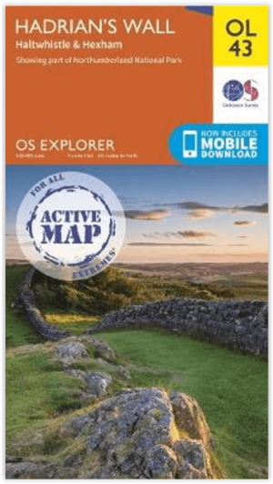

Wandelkaart OL43 Hadrian's Wall - OSI • 9780319475621
Wandelkaart Hadrian's Wall - England Productomschrijving: Wandel in de shaduw van de romeinen en ontdek dit eeuwen oud monument van om en bij de 2000 jaar oud. Hoogtepunten omvatten: Gilsland, Corbridge, Haltwhistle, Humshaugh, Hexham, Haydon Bridge, Bardon Mill, Greenlea lough, Housesteads, Chesters Roman Fort & Vindolanda. Een van de klassieke wandelingen van Engeland, en één die genotte…

Wandelgids Day Walks in Northumberland - Vertebrate Publ. • 9781912560615
Day Walks in Northumberland - Vertebrate Productomschrijving: 20 coastal & countryside routes Day Walks in Northumberlandfeatures 20 routes between 7.6 and 14.5 miles (12.2km and 23.3km) in length, spread across the coast and the countryside of Northumberland and suitable for hillwalkers of all abilities. Researched and written by local walking guide David Wilson, this book covers …