
Wandelkaart 53 Blairgowrie & Forest of Alyth- Schotland - OSI
Blairgowrie- Alyth- Newtyle- Meigle & Errol
Korte omschrijving
Wandelkaart Blairgowrie & Forest of Alyth - Perth & Kinross Schtoland Beschikbaar vanaf 24/02/2016. Productbeschrijving: OS Landranger kaart 53 toont het marktstadje Blairgowrie, & omvat...

Specificaties
- Uitgever: Ordnance Survey
- ISBN-13: 9780319473764
- HOOFDCATEGORIEËN: Wandelkaart
- Activiteiten: Wandelen, Hiking & Trekking
- Regio: Perth and Kinross, Schotland
- Land: Schotland
- Waterafstotende kaart: Ordnance Survey ACTIVE Landranger Weatherproof Maps
- Regionale parken: Forest of Alyth
- Schaal: 1:50000
- Afmeting: 13x23
- Taal: Engels
- Reeks: Landranger ACTIVE
Volledige omschrijving
Wandelkaart Blairgowrie & Forest of Alyth - Perth & Kinross Schtoland
Beschikbaar vanaf 24/02/2016.
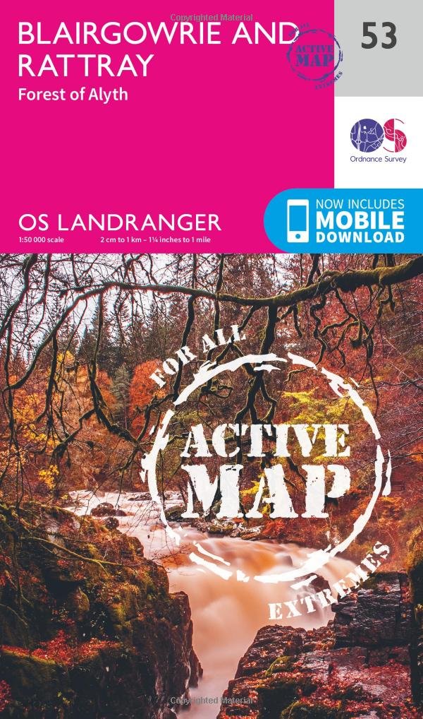
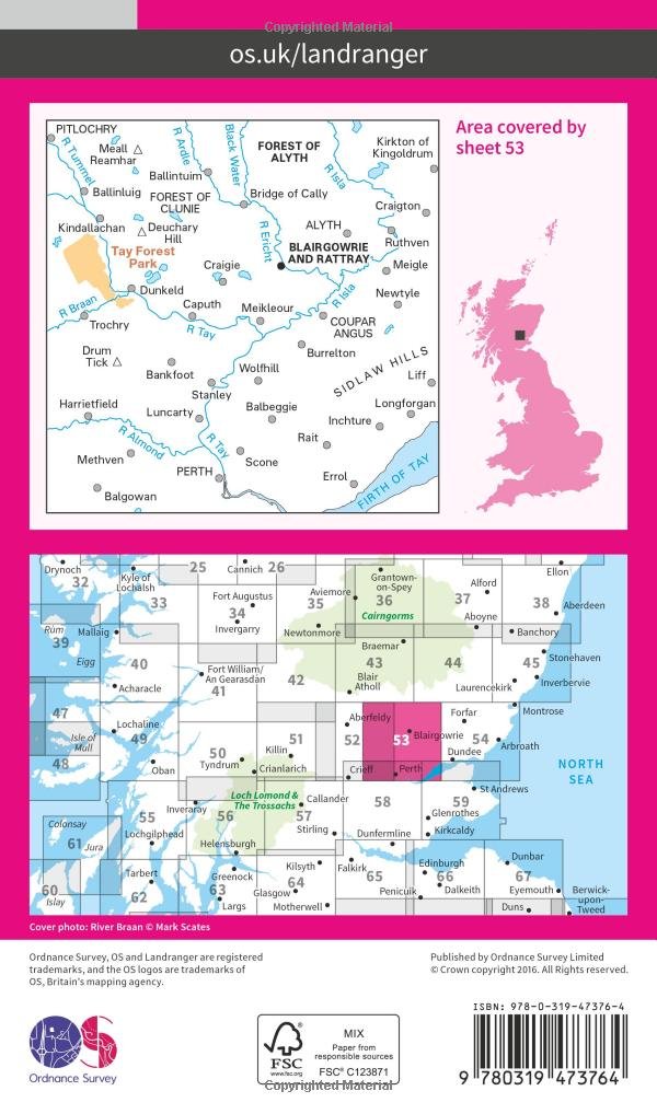
Productbeschrijving: OS Landranger kaart 53 toont het marktstadje Blairgowrie, & omvat Alyth, Newtyle, Meigle, Errol, Scone, Bankfoot, Stanley, Craigie, Luncarty en Tay Forest Park. Bezoek de 30m hoge beuken hedge funds in Meikleour, of loop de Cateran Trail af. Blairgowrie ligt in een vallei met een mild microklimaat en vruchtbare grond, dat het één van de beste wijken maakt van de groeiende frambozen en aardbeien in Schotland.
De OS Landranger kaarten reeks heeft betrekking op Groot-Brittannië met 204 gedetailleerde kaarten, perfect voor dagtochten en korte pauzes. Elke kaart bevat alle informatie die u nodig heeft om dit lokaal gebied te leren kennen en omvat plaatsen van belang, toeristische informatie, picknickplaatsen en campings, plus doorgangsrechten informatie voor Engeland en Wales.
Productdiscription: OS Landranger map 53 shows the market town of Blairgowrie and includes Alyth, Newtyle, Meigle, Errol, Scone, Bankfoot, Stanley, Craigie, Luncarty and the Tay Forest Park. Visit the 30m high Beech Hedge at Meikleour, or walk the Cateran Trail, and follow in the footsteps of Highland cattle rustlers. Blairgowrie lies in a valley with a mild microclimate and fertile soil that makes it one of the best areas from growing raspberries and strawberries in Scotland.
The OS Landranger Map series covers Great Britain with 204 detailed maps, perfect for day trips and short breaks. Each map provides all the information you need to get to know your local area and includes places of interest, tourist information, picnic areas and camp sites, plus Rights of Way information for England and Wales.
Locatie op kaart
Gekoppelde artikelen

Wandelkaart 53 Blairgowrie & Forest of Alyth Schotland - OSI • 9780319261514
standaard versieWandelkaart Blairgowrie & Forest of Alyth - Schotland Productbeschrijving: OS Landranger kaart 53 toont het marktstadje Blairgowrie en omvat Alyth, Newtyle, Meigle, Errol, Scone, Bankfoot, Stanley, Craigie, Luncarty en het Park Tay Forest. Bezoek de 30m hoge beuken hedge funds in Meikleour, of wandel langs de Cateran Trail, en volg in de voetsporen van Highland runderen. Blairgowrie ligt i…

Wandelkaart 53 Blairgowrie & Forest of Alyth- Schotland - OSI • 9780319473764
weatherproof versieWandelkaart Blairgowrie & Forest of Alyth - Perth & Kinross Schtoland Beschikbaar vanaf 24/02/2016. Productbeschrijving: OS Landranger kaart 53 toont het marktstadje Blairgowrie, & omvat Alyth, Newtyle, Meigle, Errol, Scone, Bankfoot, Stanley, Craigie, Luncarty en Tay Forest Park. Bezoek de 30m hoge beuken hedge funds in Meikleour, of loop de Cateran Trail af. Blairgowrie ligt in een v…
Overzichtskaarten

OSI Landranger & Landranger Active - Noord Oost Schotland - Cairngorms
OSI Landranger & Landranger Active - Noord Oost Schotland - Cairngorms

Producten op de overzichtskaart
Klik op een product om naar de detailpagina te gaan.
- Wandelkaart 71 Lanark & Upper Nithsdale - OSI
- Wandelkaart 71 Lanark & Upper Nithsdale - OSI
- Wandelkaart 72 Upper Clyde Valley- Lanarkshire - OSI
- Wandelkaart 72 Upper Clyde Valley- Lanarkshire - OSI
- Wandelkaart 73 Peebles- Galashiels & Selkirk - Schotland - OSI
- Wandelkaart 73 Peebles- Galashiels & Selkirk - Schotland - OSI
- Wandelkaart 74 Kelso & Coldstream - Schotland - OSI
- Wandelkaart 74 Kelso & Coldstream - Schotland - OSI
- Wandelkaart 75 Berwick-upon-Tweed - OSI
- Wandelkaart 75 Berwick-upon-Tweed - OSI
- Wandelkaart 64 Glasgow City Schotland - OSI
- Wandelkaart 6 Glasgow City Schotland - OSI
- Wandelkaart 65 Falkirk & Linlithgow - Edinburgh - OSI
- Wandelkaart 65 Falkirk & Linlithgow - West Schotland - OSI
- Wandelkaart 66 Edinburgh - Western Schotland - OSI
- Wandelkaart 66 Edinburgh - Western Schotland - OSI
- Wandelkaart 67 Duns- Dunbar & Eyemouth- Schotland - OSI
- Wandelkaart 67 Duns- Dunbar & Eyemouth- Schotland - OSI
- Wandelkaart 57 Stirling & The Trossachs NP - Highland's - OSI
- Wandelkaart 58 Perth & Alloa - Perth & Kinross - OSI
- Wandelkaart 58 Perth & Alloa - perth & Kinross - OSI
- Wandelkaart 59 St-Andrews- Fife Schotland - OSI
- Wandelkaart 59 St-Andrews- Fife- Schotland - OSI
- Wandelkaart 51 Loch Tay & Glen Dochart- Highland's - OSI
- Wandelkaart 51 Loch Tay & Glen Dochart- Highland's - OSI
- Wandelkaart 52 Pitlochry & Crieff- Perth & Kinross - OSI
- Wandelkaart 52 Pitlochry & Crieff- Perth & Kinross - OSI
- Wandelkaart 53 Benbecula & South Uist - Schotland - OSI
- Wandelkaart 53 Blairgowrie & Forest of Alyth- Schotland - OSI
- Wandelkaart 53 Blairgowrie & Forest of Alyth- Schotland - OSI
- Wandelkaart 54 Dundee & Montrose- West Schotland - OSI
- Wandelkaart 54 Dundee & Montrose- West Schotland - OSI
- Wandelkaart 42 Glen Garry & Loch Rannoch - OSI
- Wandelkaart 42 Glen Garry & Loch Rannoch - OSI
- Wandelkaart 43 Braemar & Blair Athol - Perth & Kinross - OSI
- Wandelkaart 43 Braemar & Blair Athol - Perth & Kinross - OSI
- Wandelkaart 44 Ballater & Glen Clova - Aberdeenshire - OSI
- Wandelkaart 44 Ballater & Glen Clova - Aberdeenshire - OSI
- Wandelkaart 45 Stonehaven & Banchory - OSI
- Wandelkaart 45 Stonehaven - Banchory - OSI
- Wandelkaart 35 Kingussie & Cairngorms NP - Highland's - OSI
- Wandelkaart 35 Kingussie & Cairngorms NP - Highland's - OSI
- Wandelkaart 36 Grantown & Aviemore - Cairngorms NP - OSI
- Wandelkaart 36 Grantown & Aviemore - Cairngorms - OSI
- Wandelkaart 37 Strathdon & Alford - Schotland - OSI
- Wandelkaart 37 Strathdon & Alford - Schotland - OSI
- Wandelkaart 38 Aberdeen- Schotland - OSI
- Wandelkaart 38 Aberdeen- Schotland - OSI
- Wandelkaart 26 Inverness & Loch Ness- Schotland - OSI
- Wandelkaart 26 Inverness & Loch Ness- Schotland - OSI
- Wandelkaart 27 Nairn & Forres- Highland's Schotland - OSI
- Wandelkaart 27 Nairn & Forres- Highland's Schotland - OSI
- Wandelkaart 28 Elgin & Dufftown & Moray - Schotland- OSI
- Wandelkaart 28 Elgin & Dufftown- Moray - Schotland - OSI
- Wandelkaart 29 Banff & Huntly - Schotland - OSI
- Wandelkaart 29 Banff & Huntly - Schotland - OSI
- Wandelkaart 30 Fraserburgh- Aberdeenshire Schotland - OSI
- Wandelkaart 30 Fraserburgh- Aberdeenshire Schotland - OSI
- Wandelkaart 21 Dornoch & Alness- Highland's - Schotland - OSI
- Wandelkaart 21 Dornoch & Alness- Highland's - Schotland - OSI
Artikelen uit dezelfde regio

Wandelkaart 369 Perth & Kinross Schotland - OSI • 9780319472361
Wandelkaart Perth & Kinross - Schotland Omvat ook: Ochil Hills East & Loch Leven. Productbeschrijving: OS Explorer kaart 369 toont Perth ten zuiden van de rivier de Tay Kinross en Loch Leven, met inbegrip van de Ochil Hills. De stad Perth heeft reeds meerdere malen status van de stad opgedaan en terug verloren, maar onlangs maakte de stad terug zijn intreden als stad in 2012. Perth is …

Wandelkaart OL49 Pitlochry & Loch Tummel Perth & Kinross - OSI • 9780319469675
Wandelkaart Pitlochry & Loch Tummel - perth & Kinross Oomvat ook: Aberfeldy, Kinloch Rannoch & Schiehallion. Productbeschrijving: OS Explorer kaart OL 49 toont Loch Tummel, Oost-Loch Rannoch en de omliggende dorpen van Kinloch Rannoch, Pitlochry en Aberfeldy. Loch Tummel (en de Clunie Damn) zijn een populair gebied bij bezoekers, met de prachtige "Queens View", één van de meest bezocht…

Wandelkaart 379 Dunkeld & Aberfeldy Glen Almond - OSI • 9780319246252
Wandelkaart Dunkeld- Aberfeldy - Glen Almond Schotland Productbeschrijving: 379 / Dunkeld, Aberfeldy, Glen Almond, Perth and Kinross, Schotland - Kaart nummer 379 dekt Dunkeld, Aberfeldy en Glen Almond. Hoogtepunten zijn Ben Chonzie, Tay Forest Park en de rivier de Tay. Omvat ook Hoil Loch, Loch Freuchie en Glen Cochill. De OS Explorer kaart voor Dunkeld, Aberfeldy & Glen amandel is b…

Wandelkaart OL34 Crieff- Comrie & Glen Artney - OSI • 9780319469651
Wandelkaart Crieff- Comrie & Glen Artney - Perth & Kinros Schotland Omvat ook: Strathearn & Auchterarder Productbeschrijving: De OS Explorer kaart OL 47 toont Crieff, Mogu en de omliggende gebieden, met inbegrip van Auchterarder. Hoogtepunten zijn het oostelijke delen van de "The Trossachs Nationaal park", Loch Lomond, Loch Earn, en Loch Torret Resevior. Deze kaart vervangt de vorige O…

Wandelkaart 379 Dunkeld- Aberfeldy & Glen Almond - OSI • 9780319472453
Wandelkaart Dunkeld- Aberfeldy & Glen Almond - Schotland Productbeschrijving: Kaart nummer 379 omvat Dunkeld, Aberfeldy en Glen Almond. Hoogtepunten zijn Ben Chonzie, Tay Forest Park en de rivier de Tay. Omvat ook Hoil Loch, Loch Freuchie en Glen Cochill. De OS Explorer kaart voor Dunkeld, Aberfeldy & Glen amandel is beschikbaar in zowel de standaard papieren versie als de weerbestendige '…