
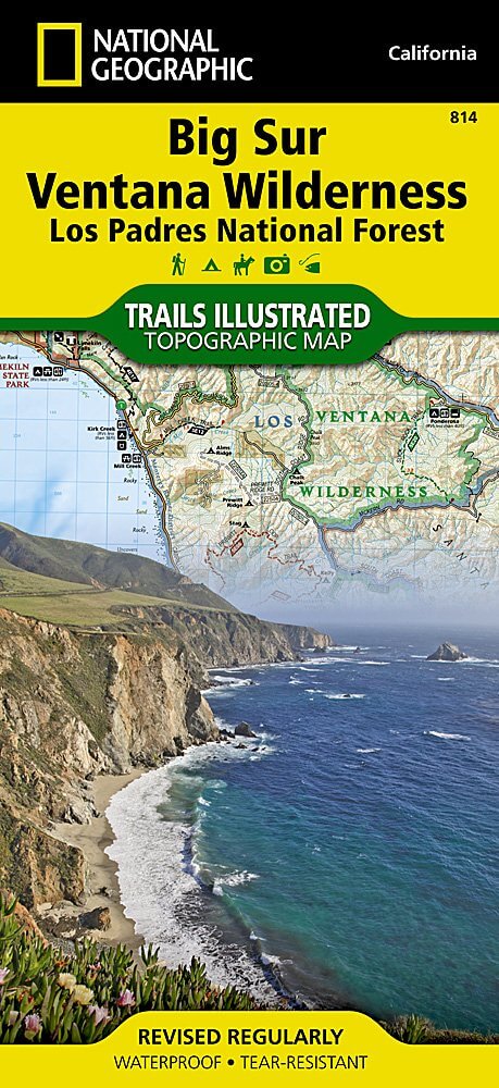
Wandelkaart 814 Big Sur & Ventana Wilderness - Natgeo
Het Los Padres National Forest in New York State
Korte omschrijving
TOPO Wandelkaart 814 - Big Sur & Ventana Wilderness - Natgeo Productomschrijving: Big Sur & Ventana Wilderness California- Natgeo zijn in andere woorden, het Los Padres National Forest in he...

Specificaties
- Uitgever: National Geographic
- ISBN-13: 9781566955782
- HOOFDCATEGORIEËN: Wandelkaart
- Regio: Californië, USA
- Land: Verenigde Staten van Amerika (USA)
- Regionale parken: Los Padres National Forest, California USA
- Schaal: 1:80000
- Afmeting: 10x19
- Taal: Engels
Volledige omschrijving
TOPO Wandelkaart 814 - Big Sur & Ventana Wilderness - Natgeo
Productomschrijving: Big Sur & Ventana Wilderness California- Natgeo zijn in andere woorden, het Los Padres National Forest in het United States national forest in southern en central California.
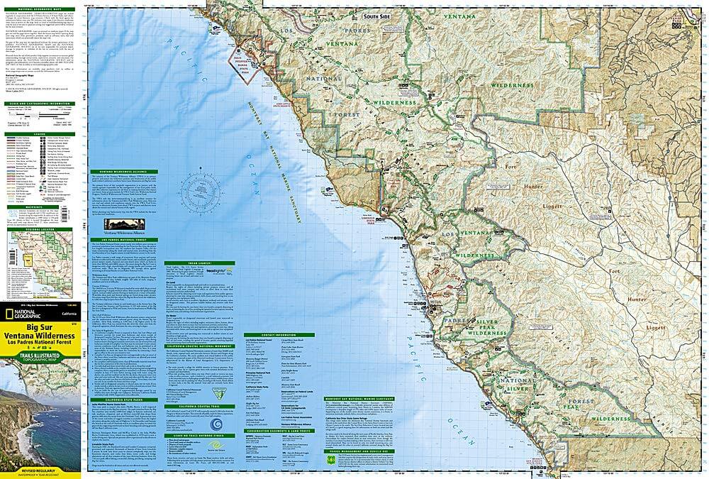
National Geographic's Trails Illustrated map of Big Sur, Ventana Wilderness combines unmatched detail with helpful information to offer an invaluable tool for making the most of your visit to this remarkable section of California coastline. Expertly researched and created in partnership with local land management agencies, this map features key points of interest including Los Padres National Forest, Silver Peak Wilderness, Pinnacles National Park, Fort Ord National Monument, Big Sur National Wild and Scenic River, and Julia Pfeiffer Burns State Park.
With miles of mapped trails, this map can guide you off the beaten path and back again in some of the most breathtaking scenery in the region. The trails are clearly marked according to use and include mileages between intersections. The Big Sur Coast Highway is noted for those wishing to take in the scenery by car. The map base includes contour lines and elevations for summits and coastal waters. Some of the many recreation features include surfing and scuba diving areas, interpretive trails, fishing areas, trailheads, and campgrounds. A variety of information about California state parks, Monterrey Bay National Marine Sanctuary, California Coastal National Monument, and Los Padres National Forest is included as well. Every Trails Illustrated map is printed on "Backcountry Tough" waterproof, tear-resistant paper. A full UTM grid is printed on the map to aid with GPS navigation.
Other features found on this map include: Cape San Martin, Carmel Point, Carmel River, Gabilan Range, Greenfield, Junipero Serra Peak, Lopez Point, Los Padres National Forest, Monterey, Pacific Grove, Pinnacles National Park, Point Lobos, Point Pinos, Point Sur, Santa Lucia Range, Seaside, Sierra de Salinas, Silver Peak Wilderness, Soledad, Ventana Wilderness.
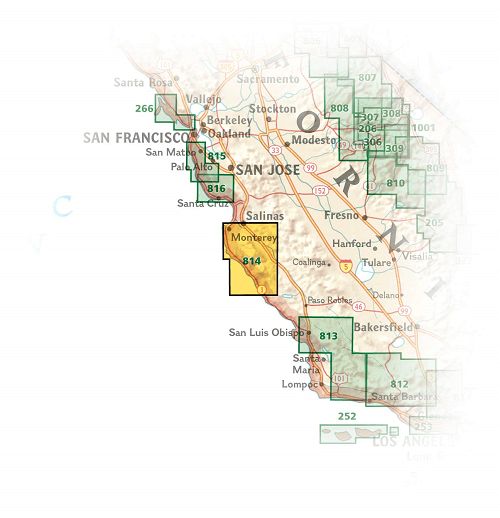
Locatie op kaart
Artikelen uit dezelfde regio

Reisgids Experience California - Lonely Planet • 9781838695613
Experience California met Lonely Planet Productomschrijving: Inspirerende full-color reisfotografie en kaarten in de hele gids. Hoogtepunten en trip builders om je te helpen je reis af te stemmen op je persoonlijke behoeften en interesses. Frisse invalshoeken om u te verrassen met dingen waar u niet aan had gedacht, evenals een frisse kijk op de bekende bezienswaardigheden Insider tips hel…

Reisgids Los Angeles California - Top 10 - DK Eyewitness • 9780241367957
DK Eyewitness TOP 10 Los Angeles California Omvat: West Hollywood and Midtown, Santa Monica Bay, Downtown & Coastal Orange County Productomschrijving: Ga wandelen in de Hollywood Hills, breng tijd door op Venice Beach, verken Beverly Hills of bezoek het Los Angeles County Museum of Art. Van de Top 10 stranden tot de Top 10 bioscopen - ontdek het beste van Los Angeles met deze gebruiksv…

Wandelkaart 206 Yosemite NP - California - Nat Geo • 9781566952996
TOPO Wandelkaart 206 - Yosemite NP- California - Nat geo Productomschrijving: Yosemite National Park, wat een parel van schoonheid en tegelijk wereld bekend, is een nationaal park in het oosten van de Amerikaanse staat Californië. Hij ligt op de westelijke flanken van de centrale Sierra Nevada, in het oosten van Tuolumne, Mariposa en Madera County. Engelse omschrijving: Explore the maj…

Reisgids San Francisco & Northern California - DK Eyewitness • 9780241360071
San Francisco & Northern California Omvat: Presidio, Pacific Heights and the Marina, Fisherman's Wharf and North Beach, Chinatown and Nob Hill, Financial District and Union Square, Civic Center, Haight Ashbury and the Mission, Golden Gate Park and Land's End, and sights beyond the city, plus major parts of Northern California including Carmel, Mendocino, Napa Wine Country, Lake Tahoe & Yos…


Wandelkaart 307 Yosemite NP North West - Nat Geo • 9781566954129
Yosemite North West - Nat Geo Omvat: Emigrant Wilderness, Lake Eleanor, Stanislaus National Forest, Yosemite National Park. Engelse omschrijving: National Geographic's Trails Illustrated map of Yosemite North West- Hetch Hetchy Reservoir is designed to meet the needs of outdoor enthusiasts by combining valuable information with unmatched detail of this magnificent region of Yosemite Na…