
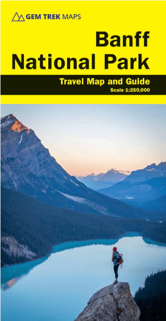
Wandelkaart Banff National Park - Gem Trek
Canadian Rockies

Korte omschrijving
Wandelkaarten Alberta, Canada van Gem Trek Publishing. Ideaal voor tochten in Canada.
Wandelkaart Banff NP - Gem Trek Productomschrijving: Waterproof and tear-resistant map for Banff National Park in the Canadian Rockies. Whether you are a first-time visitor or a long-tim...

Specificaties
- Uitgever: Gem Trek Publishing
- ISBN-13: 9781990161117
- HOOFDCATEGORIEËN: Wandelkaart
- Activiteiten: Wandelen, Hiking & Trekking
- Regio: Alberta, Canada
- Land: Canada
- Schaal: 1:250000
- Editie: 3
- Taal: Engels
Volledige omschrijving
Wandelkaart Banff NP - Gem Trek
Productomschrijving: Waterproof and tear-resistant map for Banff National Park in the Canadian Rockies.
Whether you are a first-time visitor or a long-time local, you’ll find Gem Trek’s Banff National Park Map to be an invaluable tool. Researched and designed by locals, and printed in Canada, this map features accurate cartography and subtly colored relief that puts the mountainous region in perspective. The map is printed on high-quality synthetic waterproof paper that can be folded and refolded hundreds of times.
The 1:250,000 scale is ideal for discovering the very best of Banff National Park. Highlights and our recommended hiking trails are marked by numbered stars, then cross-referenced on the reverse side with descriptions. Also included are all mountains and their elevations, along with natural features such as waterfalls, hot springs, and glaciers.
In addition to descriptions for the top highlights and most popular hiking trails, the reverse side has inset maps for the town of Banff and the Lake Louise region. There are also descriptions of the park’s geology, history, wildlife, and eco-regions. Practical information on outdoor activities, weather, campgrounds, lodging, and transportation allows map users to plan their trip accordingly.
– Map scale: 1:250,000
– Sheet size: 27 x 39 inches
– Folded size: 4.5 x 9.5 inches
Map Coverage:
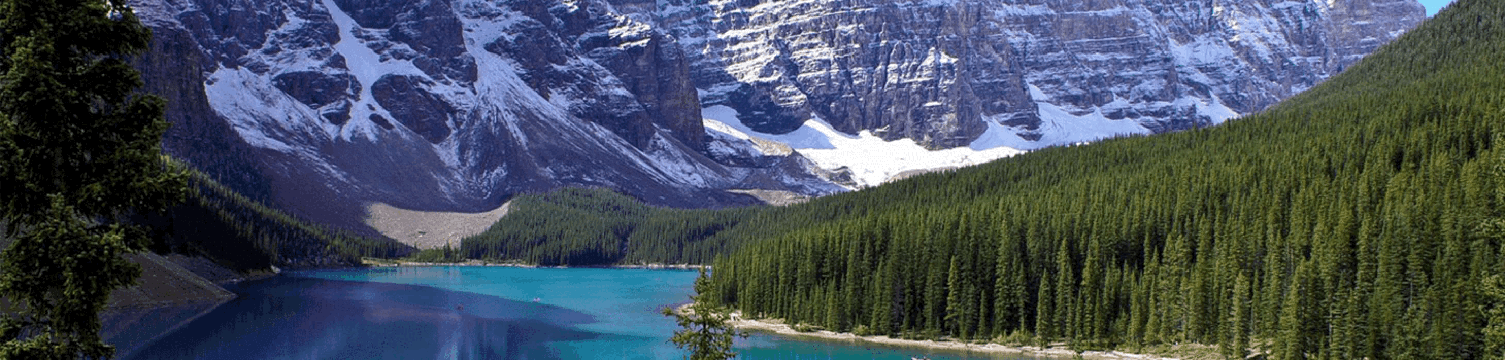
The Banff National Park Map covers all of Banff National Park in the Canadian Rockies. Coverage extends from Jasper National Park and the Columbia Icefield in the north to the town of Banff and the northern section of Kananaskis Country in the south. It also includes Yoho and Kootenay National Parks and Mount Assiniboine Provincial Park, which are all on the western side of the Continental Divide in British Columbia.
Map Features:
The Banff National Park Map features:
- waterproof and tear-resistant paper
- relief shading to better show the topography
- full colour on both sides
- hydrology rivers, rapids and waterfalls
- mountain names and all available mountain elevations
- all campgrounds with a handy chart showing campground details
- points of interest and attractions as well as day use areas and highway viewpoints

Artikelen uit dezelfde regio
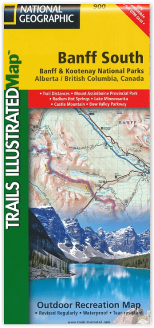
Wandelkaart 900 Banff South & Banff and Kootenay NP - Nat Geo • 9781566956581
Wandelkaart 900 - Banff South & Banff and Kootenay NP - Natgeo Productomschrijving: Deze omvat een overzicht van alle recreatieve wandelpaden, wegen en vele andere informatie die u zou kunnen nodig hebben in deze 2 schitterende nationale parken, die letterlijk aan elkaar werden genaaid. De wildernis van Banff en Kootenay, zijn geen zondag wandelplaatsje, je bereidt uw tocht altijd goed voo…
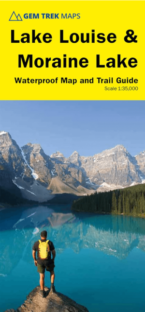
Wandelkaart 65 Lake Louise & Moraine Lake - Gem trek Pub • 9781990161162
Wandelkaart Lake Louise & Moraine Lake - Gem trek Productomschrijving: Gem Trek's 1:35,000 Lake Louise and Moraine Lake Map is a waterproof and tear-resistant relief-shaded topographic map of the Lake Louise area of Banff National Park in the Canadian Rockies. Like all Gem Trek maps, the Lake Louise and Moraine Lake Map features detailed cartography and accurate hiking trails with distanc…

Wandelkaart 901 Banff North - Banff and Yoho NP - Nat Geo • 9781566956598
TOPO Wandelkaart 901 - Banff North - Banff and Yoho NP - Natgeo Productomschrijving: Deze topografische wandelkaart van 2 van Canada's mooiste nationale parken heeft heel wat in petto. De kaart is meer dan voldoende voor deze 2 zeer grote weliswaar wilde plaatsen. Wat er ook te vinden valt is bijvoorbeeld het beeldschone Lake Louis, die te vinden is langs de grote en enige autoroute door d…

Wandelkaart 11 Banff Up-Close - Gemtrek • 9781895526776
Wandelkaart - Banff Up-Close - Gemtrek Productomschrijving: Banff, een begrip in Alberta en wereldwijd, als skigebied en als wandelgebied in de zomermaanden. Banff heeft maar een klein stukje dat echt kan worden betreden als skigebied, de meerderheid van de skiërs gaan in de richting van Lake Louis zo'n 35km verder richting Jasper National park, die zelf zo'n 400km van Banff ligt. In Banff…
Reisgids British Columbia & the Canadian Rockies - Lonely Planet • 9781838697013
British Columbia & the Canadian Rockies - Lonely Planet Productomschrijving: Sigh-inducing mountains, mist-shrouded forests and epic tooth-and-claw wildlife: this is Canada’s legendary outdoor wonderland. And it’s served alongside a full menu of distinctive, ever-inviting communities. Lonely Planet will get you to the heart of British Columbia & the Canadian Rockies, with amazing travel ex…