

Wegenatlas Top End, Golf Atlas & Guide - Hema Maps
Australia's Northern Territories


Korte omschrijving
Wegenatlas Top End, Golf Atlas & Guide - Hema Productomschrijving: Top End and Golf Atlas & Atlas & Guide hema 1/125000 Deze gids biedt uitgebreide en up-to-date informatie over de hele ...

Specificaties
- Uitgever: Hema Maps
- ISBN-13: 9781922668943
- HOOFDCATEGORIEËN: Wegenatlas
- Activiteiten: Street/Road maps & city plans
- Regio: Northern Territory, Canada
- Land: Australië
- Editie: 1
- Taal: Engels
- Reeks/Serie: Wegenatlassen
- De Australische Regio's: Northern Territories
Volledige omschrijving
Wegenatlas Top End, Golf Atlas & Guide - Hema
Productomschrijving: Top End and Golf Atlas & Atlas & Guide hema 1/125000
Deze gids biedt uitgebreide en up-to-date informatie over de hele Top End en Golf regio, met Darwin en de Tiwi eilanden; Kakadu, Litchfield, Nitmiluk, Judbarra-Gregory, Limmen en Boodjamulla (Lawn Hill)
National Parks: Arnhem Land, de Golfkust en Barkly Tableland.
Uitgebreide culturele informatie en verhalen, samen met historische verhalen van zowel de Inheemse als de Europese ontwikkeling van de regio, bieden toekomstige reizigers een nieuwe en opwindende manier om dit unieke deel van de wereld te leren kennen:
BELANGRIJKSTE KENMERKEN
- Kaart Patrouillewegen en -paden
- Gedetailleerde inzetkaarten van nationale parken en 4WD tracks
- Zelfrijdende 4WD tracks
- Bezoekersinformatie, geschiedenis en cultuur
- De beste campings
- Avontuurlijke activiteiten
- Tips voor reisplanning
INHOUD KAARTEN
- 2x Basiskaarten - binnenkant voorkant & begin atlasgedeelte
- 24x inzetkaarten
- 8x Overzichtskaarten - 4WD & regio's
Locatie op kaart
Artikelen uit dezelfde regio

Wegenkaart Planning map Northern Territory Australia - LP • 9781788688475
Planning map Northern Territory Australia - Lonely Planet Productomschrijving: From Lonely Planet: The world's number one travel guide publisher* Durable and waterproof, with a handy slipcase and an easy-fold format, Lonely Planet's Northern Territory Planning Map helps you explore with ease. Get more from your map and your trip with images and information about top attractions, itinerary …
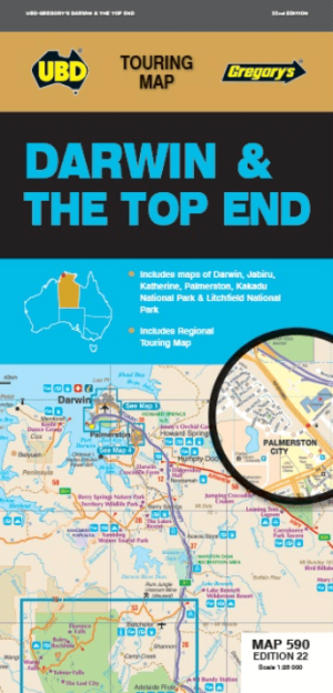
Landkaart Wegenkaart 590 Darwin & the Top End - UBD Gregory's • 9780731933310
Wegenkaart Darwin & the Top End - UBD Gregory's Productomschrijving: The 21st edition of the Darwin & Top End touring map is a useful tool when travelling in the area. There are regional touring maps covering Darwin in the north, Katherine and Mataranka in the south, as well as Daly River, Kakadu & Litchfield National Parks. Contains maps and a street index of Darwin & Palmerston city…
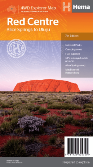
Landkaart Wegenkaart Iconic Map Red Centre - Hema Maps • 9781925625745
Iconic Map Red Centre - Hema Productomschrijving: A regional map of the Red Centre (1:750,000), covering from Alice Springs to Uluru. Extensive travel and background information on specific regions including Alice Springs and surrounds, Larapinta Drive, West MacDonnell Ranges, East MacDonnell Ranges, the Old Ghan Route, Kings Canyon and Watarrka National Park and Uluru-Kata Tjuta National…