

Fietsgids Cycling the Camino de Santiago - Cicerone
De route naar Santiago is één van de bekendste pelgrims routes
Korte omschrijving
Fietsgidsen Galicië, Spanje van CICERONE Press. Ideaal voor tochten in Spanje.
Fietsgids - Cycling the Camino de Santiago - Cicerone Productomschrijving: De route naar Santiago is één van 's werelds meest bekende pelgrims routes. Duizenden doen deze zogenaamde ondenkki...

Specificaties
- Uitgever: CICERONE Press
- ISBN-13: 9781852849696
- HOOFDCATEGORIEËN: Fietsgids
- Regio: Galicië, Spanje
- Land: Spanje
- Editie: 1
- Taal: Engels
- Fietsen: Fietsen in het Buitenland
- De Spaanse Regio's: Galicië
Volledige omschrijving
Fietsgids - Cycling the Camino de Santiago - Cicerone
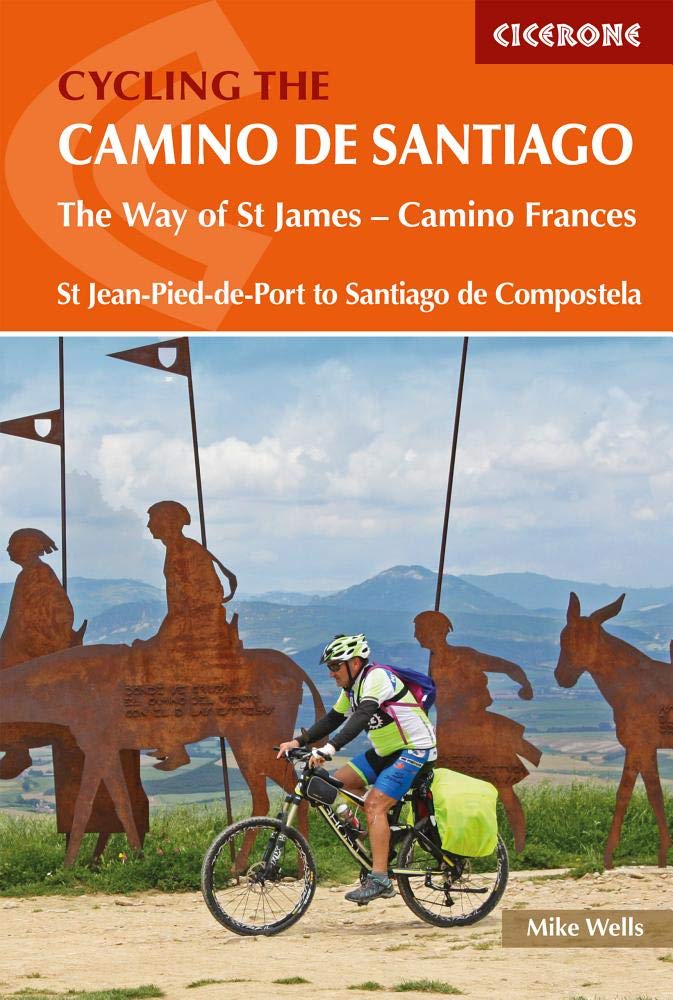
Productomschrijving: De route naar Santiago is één van 's werelds meest bekende pelgrims routes. Duizenden doen deze zogenaamde ondenkking naar de eigen ziel tevoet. Deze gids is echter de gids die u de fietsroute biedt van Saint-jean-Pied-de-Port tegen de Spaanse grens in Frankrijk, tot in SAntiago de compostella zelf. Een dikke 798 km lang is deze route gebasseerd op de fietsers die de weg gebruiken. UIteraard is deze geklasseerd in de UNESCO werelderfgoed boek.
Engelse omschrijving: The Camino de Santiago de Compostela (Way of St James) is among the world's most famous pilgrimages: Christian pilgrims have travelled to the shrine of St James in Santiago, northern Spain, since the ninth century. This guide provides all the information you need to successfully cycle the Camino.
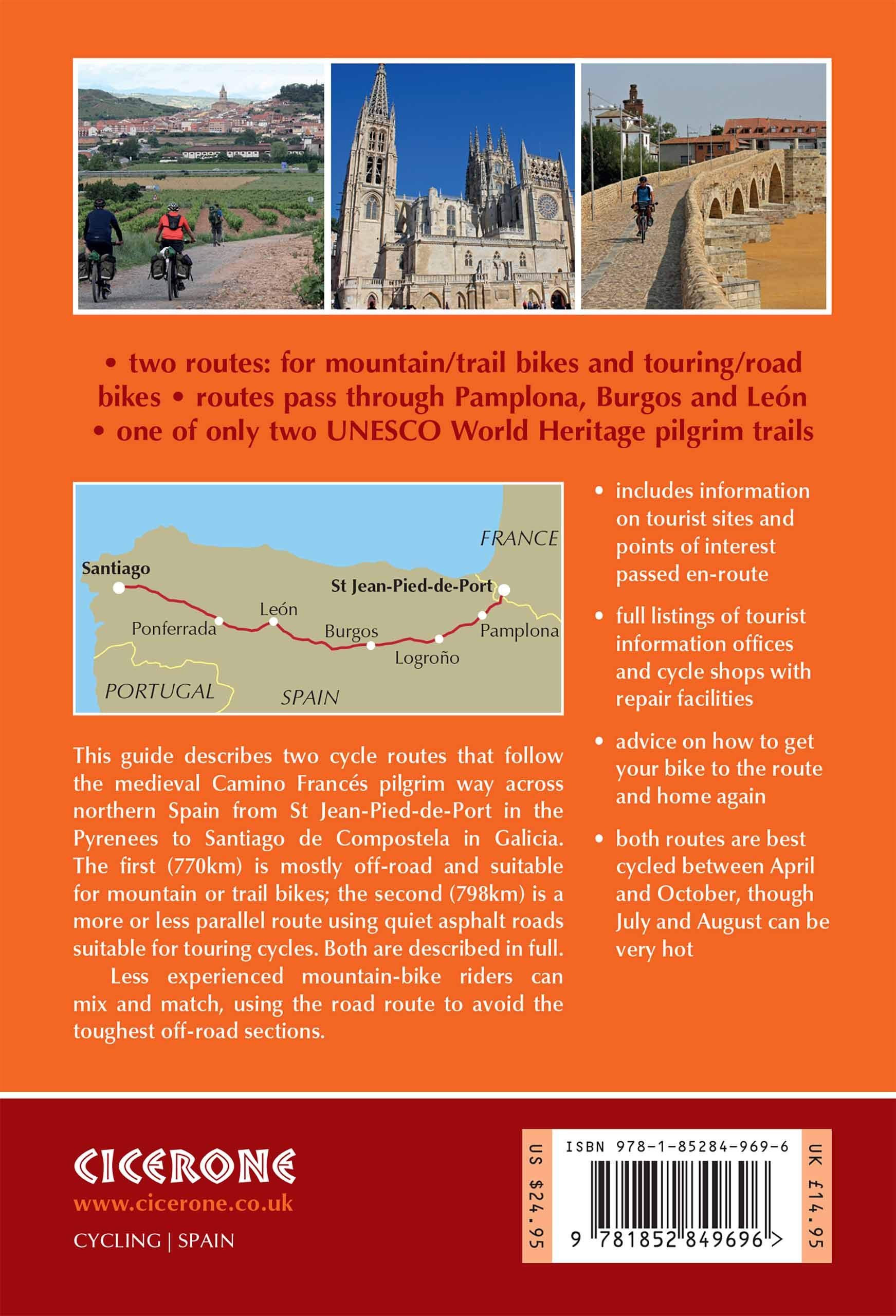
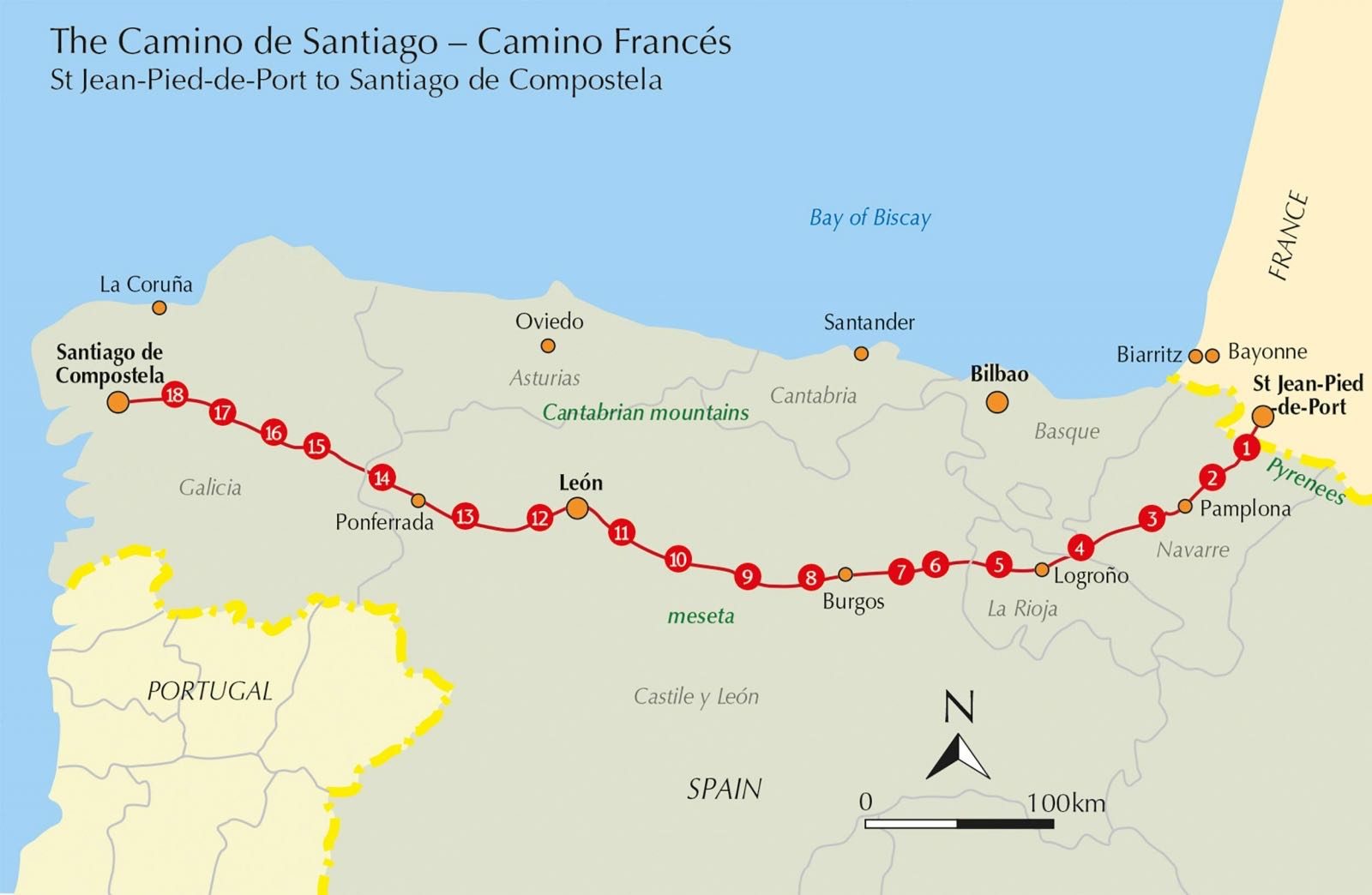
The Camino Francés is the most popular variant of the Camino, linking St Jean-Pied-de-Port on the French-Spanish border with Santiago via Pamplona, Burgos and León. The guide presents the journey in 18 stages. Two versions of the route are described, the first (770km) based closely on the walkers' route and suitable for hybrid or mountain bikes; the second (798km) a 'road route' for road and touring cycles. It can be cycled in around 10–14 days and is very well provisioned. Clear route description and mapping are accompanied by notes on local points of interest, as well as background information on Spanish history and the history of the Camino. The practicalities are also thoroughly covered, including travel to and from the route, accommodation, facilities, kit and how to qualify for and obtain your Compostela (pilgrims' certificate).
Whether you're seeking a spiritual journey, a physical challenge or just a holiday, the Camino promises an unforgettable experience – from the beautiful landscapes, historic towns and rich culture of northern Spain to the famed camaraderie with other wayfarers. Blending information with inspiration, this guide is an ideal companion to cycling this UNESCO-listed route.
Locatie op kaart
Artikelen uit dezelfde regio
Wandelkaart 0006 - 4 San Salvador Serantes, A Coruña Galicië - CNIG • 9788441652422
Wandelkaart 0006 - 4 Serantes, A Coruña (provincie) in Galicië - CNIG Productomschrijving: De Topografische Wandelkaarten, met reeks MTN25 van CNIG! Deze omvat: San Salvador Serantes, A Coruña (provincie) in Galicië Ben je een fervent wandelaar, trekker of outdoorliefhebber die graag het ruigere Spanje ontdekt, weg van de platgetreden paden? Dan zijn de MTN25-kaarten van de officië…
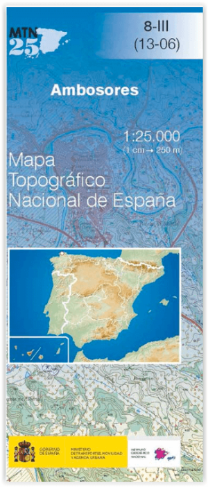
Wandelkaart 0008.3 Ambosores, Lugo (provincie) in Galicië - CNIG • 9788441652453
Wandelkaart Ambosores, Lugo (provincie) in Galicië - CNIG Productomschrijving: De Topografische Wandelkaarten, met reeks MTN25 van CNIG! Deze omvat: Ambosores, Lugo (provincie) in Galicië. Ben je een fervent wandelaar, trekker of outdoor liefhebber die graag het ruigere Spanje ontdekt, weg van de platgetreden paden? Dan zijn de MTN25-kaarten van de officiële Spaanse uitgever Centro…
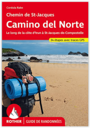
Wandelgids Camino del Norte - 34 etappes - Rother • 9783763349746
Camino del Norte naar Compostella - Rother Productomschrijving: Van alle pelgrimsroutes door Spanje naar Santiago de Compostela is de Camino del Norte langs de Noord-Spaanse kust een van de rustigste en minst bezochte. Dit is precies wat de kustroute zo charmant maakt: pelgrims naar Santiago vinden hier nog steeds de juiste balans van rust en stilte, ver weg van de drukte. De Rother wandel…
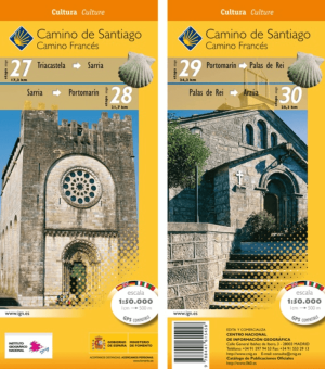
Wandelkaart 27-30 Camino Frances, Triacastela > Arzúa - CNIG • 9788441615458
Wandelkaart Camino Frances, Triacastela > Arzúa - CNIG Productomschrijving: Deel 9 van de bedevaart route Camino Frances die start St-jean-pied-de-Port, Omvat 4 kaarten met opeenvolgende etappes van de Camino de Santiago (Franse weg), van Triacastela > Arzúa ETRS89-systeem compatibel met GPS. Opengevouwen formaat: 140 x 47 cm. Legenda: Frans, Engels, Duits, Italiaans, Portugees …
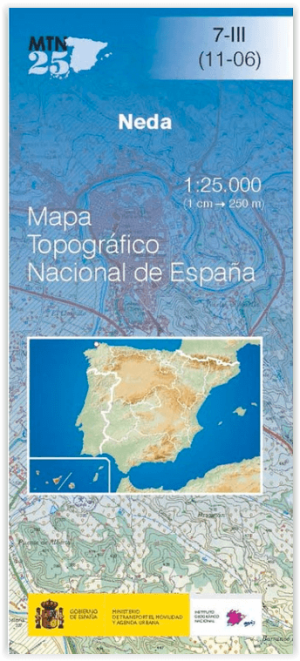
Wandelkaart 0007.3 Neda, A Coruña (provincie) in Galicië - CNIG • 9788441656710
Wandelkaart Neda, A Coruña (provincie) in Galicië - CNIG Productomschrijving: De Topografische Wandelkaarten, met reeks MTN25 van CNIG! Deze omvat: Neda, A Coruña (provincie) in Galicië - CNIG Ben je een fervent wandelaar, trekker of outdoor liefhebber die graag het ruigere Spanje ontdekt, weg van de platgetreden paden? Dan zijn de MTN25-kaarten van de officiële Spaanse uitgever Ce…