

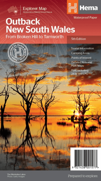
Landkaart Wegenkaart Explorer Map Outback New South Wales - Hema
From Broken Hill to Tamworth
Korte omschrijving
Explorer Map Outback New South Wales - Hema Productomschrijving: A regional map of the outback NSW (1:1,100,000) that ranges from Tamworth in the east to Broken Hill in the west, as well as...

Specificaties
- Uitgever: Hema Maps
- ISBN-13: 9321438001577
- HOOFDCATEGORIEËN: Wegenkaart - Landkaart
- Activiteiten: Street/Road maps & city plans
- Regio: New South Wales, Australië
- Land: Australië
- Schaal: 1:1100000
- Editie: 5
- Taal: Engels
- Reeks/Serie: Explorer Map reeks, Hema maps
- De Australische Regio's: New South Wales
Volledige omschrijving
Explorer Map Outback New South Wales - Hema
Productomschrijving: A regional map of the outback NSW (1:1,100,000) that ranges from Tamworth in the east to Broken Hill in the west, as well as from Wagga Wagga in the south to past the Queensland border in the north. On the opposite side is extensive information on numerous regions, including visitor, historical and background information.
Covered regions include the Broken Hill region, Corner Country, east of Tibooburra, the White Cliffs region, Cobar and surrounds, around Back o'Bourke, Lightning ridge and surrounds, Wentworth region, Balranald, Griffith region, Dubbo and surrounds, Kinchega National Park, Mungo National Park, Sturt National Park and Mutawintji National Park.
• Detailed National Park Maps
• Tourist information
• Camping areas
• Points of interest

Artikelen uit dezelfde regio

Stadskaart plattegrond Melbourne NSW & omgeving - Hema Maps • 9781876413965
Stadskaart Melbourne & omgeving - Hema Productomschrijving: Melbourne CBD, City & Suburbs Map The Melbourne and Region map features a primary map of Greater Melbourne (1:115,000) that includes highways, major roads and local streets, as well as 24-hour fuel, parks and caravan parks. On the reverse is a Melbourne CBD map with accommodation, shopping and other places of interest pinpoin…
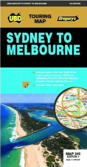
Landkaart Wegenkaart 245 Sydney to Melbourne NP - UBD Gregory's • 9780731933174
Wegenkaart Sydney to Melbourne NP - Gregory's Productomschrijving: The latest edition of the Sydney to Melbourne touring map has been fully revised and updated. It includes strip maps for travelling both the Princes Highway/Freeway and the Hume Motorway/Highway/Freeway with information on the major towns along these routes. There is also state mapping at a scale of 1: 975 000 highligh…
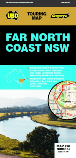
Landkaart Wegenkaart 296 Far North Coast NSW - UBD Gregory's • 9780731931996
Wegenkaart Far North Coast NSW - UBD Gregory's Productomschrijving: The latest edition of the Far North Coast NSW has been fully revised and updated and includes: Regional touring mapping covering Tweed Heads in the north, Woolgoolga in the south, Byron Bay in the east and Sandy Hill in the west. Maps and street index of Ballina, Byron Bay, Grafton, Lismore and Tweed Heads city centre…

Landkaart Wegenkaart New South Wales handy map - Hema • 9781925625608
Wegenkaart New South Wales handy map - Hema Productomschrijving: A fully indexed state map of New South Wales (NSW) at a scale of 1:1,400,000. Marked on the map are national parks, camping areas, caravan parks, rest areas, points of interest and 24-hour fuel accompanied by a distance grid.

Landkaart Wegenkaart Australië Indigenous Journeys Map - Hema Map • 9781922668936
Wegenkaart Australië Indigenous Journeys Map - Hema Maps Productomschrijving: Australië Indigenous Journeys Map hema 1:5.5M Ontdek de zanglijnen van de oudste levende cultuur ter wereld Al meer dan 65.000 jaar bewandelen Aboriginals en Torres Strait Islanders - de traditionele eigenaars van Australië - het land, smeden handelsroutes, delen kennis en zorgen voor het land. De Indigenou…