

Landkaart Wegenkaart France road map - Harper Collins
A fully revised and updated colour road map of France

Korte omschrijving
Wegenkaart France road map - Harper Collins Productomschrijving: A fully revised and updated colour road map of France at 18 miles to 1 inch / 11km to 1cm. The map shows individual departme...

Specificaties
- Uitgever: HarperCollins Publishers
- ISBN-13: 9780008716486
- HOOFDCATEGORIEËN: Wegenkaart - Landkaart
- Activiteiten: Street/Road maps & city plans
- Regio: Frankrijk
- Land: Frankrijk
- Taal: Engels
Volledige omschrijving
Wegenkaart France road map - Harper Collins
Productomschrijving: A fully revised and updated colour road map of France at 18 miles to 1 inch / 11km to 1cm. The map shows individual departments by name. All cities, towns, roads, European route numbers, motorways and toll motorways are clearly shown, making it the ideal map for planning and route-finding.
The map shows the road network in detail for easy route planning.
Main features
• Fully revised and updated
- Clear, detailed road network
- Through-route maps of Paris, Lyon, Marseille, Strasbourg, and Toulouse
- Distance chart giving distances in kilometres between main towns
- Key to department names and numbers, and list of regions
- Internet links to further information
- Full Index to place names
- Map key in English, French and German

Artikelen uit dezelfde regio

Landkaart Frankrijk - Borch • 9783866093485
Wandelkaart Landkaart Frankrijk - Borch Productomschrijving: Our soft-laminated folded map of France in the 9th edition shows: France North 1:875 000, France South 1:875 000, Corsica 1: 875 000, France administrative, Europe time zones. Borch Maps are easy to fold, durable and water-repellent with a wipeable surface. Borch Maps show hotels, museums, monuments, markets, public transport, to…
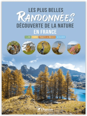
Les plus belles randonnées découverte de la nature en France • 9782844666574
Les plus belles randonnées découverte de la nature en France Productomschrijving: Dit prachtige boek biedt een selectie van wandelingen door heel Frankrijk, waarbij de natuur centraal staat. Elke route gaat vergezeld van een thematische tekst die meer informatie geeft over de specifieke omgeving op de route. Van zoogdieren, vogels en vegetatie tot geologie, de uitleg bij de routes opent on…

Fietsatlas France voies vertes & véloroutes - Ed. Chamina • 9782844667151
Atlas France voies vertes & véloroutes - Ed. Chamina Productomschrijving: Dans cette nouvelle édition, retrouvez par exemple les tracés de l'EuroVelo 8, de la Via Allier, de la vallée du Loir et de la Loire à vélo. L’Atlas France des voies vertes & véloroutes revient cette année : • 18 itinéraires représentant 12 000 km, • 570 cartes précises sur fond IGN au 1 : 100 000, • indica…
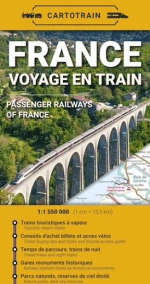
Spoorwegenkaart France - Voyage en train - Cartotrain • 9782959394430
Spoorwegenkaart France - Cartotrain Productomschrijving: De eerste papieren kaart gewijd aan treinreizen in Frankrijk! Deze kaart toont alle stations en spoorlijnen die je kunt gebruiken – en nog veel meer: – hoe je je fiets kunt meenemen, afhankelijk van de trein, – welke nachttreinlijnen er in Frankrijk rijden, – wat de reistijden zijn tussen stations, – waar je toeristisc…
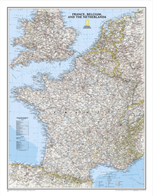
Plano Wandkaart Frankrijk, België & Nederland 60x77 cm - Nat Geo • 9780792292616
Wandkaart Frankrijk, België & Nederland 60x77 cm - Nat Geo Productomschrijving: National Geographic's Classic style political map of France, Belgium, and The Netherlands features clearly defined international boundaries, thousands of place names, waterbodies, airports, major highways and roads, national parks, and much more. Also shown are the region's updated infrastructures, including ma…