

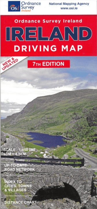
Landkaart Wegenkaart Ierland driving map - Ordnance Survey
Published by Ordnance Survey Ireland
Korte omschrijving
Wegenkaart Ierland driving map - OSI Productomschrijving: A folded map covering the whole of the island of Ireland published by Ordnance Survey Ireland. Clear easy to read mapping. Up t...

Specificaties
- Uitgever: Ordnance Survey Ireland
- ISBN-13: 9781908852885
- HOOFDCATEGORIEËN: Wegenkaart - Landkaart
- Activiteiten: Street/Road maps & city plans
- Regio: Ierland, Noord Ierland
- Land: Ierland
- Schaal: 1:450000
- Editie: 7
- Taal: Engels
Volledige omschrijving
Wegenkaart Ierland driving map - OSI
Productomschrijving: A folded map covering the whole of the island of Ireland published by Ordnance Survey Ireland. Clear easy to read mapping.
Up to Date Road Network and includes a placename Index. Includes a Distance Chart in Kms.
Distances in Km marked across the map.
Artikelen uit dezelfde regio

Wandelkaart 31 County Mayo Central Discovery Series - OSI Ireland • 9781912140558
Wandelkaart Mayo Central Discovery Series - OSI Productomschrijving: Ontdek Ierland met de Discovery Series Wandelkaarten van Ordnance Survey Ireland De Discovery Series wandelkaarten van Ordnance Survey Ireland (OSi) zijn dé keuze voor wandelaars, fietsers en avonturiers die Ierland echt willen verkennen. Deze hoogwaardige topografische kaarten bieden een gedetailleerd en nauwkeurig o…

Reisgids Experience Ireland - Lonely Planet • 9781838697549
Ireland Experience - Lonely Planet Productomschrijving: Lonely Planet’s Experience Ireland is your guide to unforgettable experiences and local surprises. Discover the ferociously fast sport of hurling, explore pristine beaches, and hike through unspoiled wilderness - all guided by local experts with fresh perspectives. Uncover Ireland’s best experiences and get away from the everyday! …

Landkaart Wegenkaart 2026 Ireland Road Map - Harper Collins • 9780008719241
Wegenkaart Ireland Road Map - Harper Collins Productomschrijving: Full-colour map of Ireland at 9 miles to 1 inch (1:570,240), with clear, detailed road network and counties and new administrative areas shown in colour. This double-sided map covers the whole of Ireland, and is ideal for reference or route planning. This map of Ireland shows the road network in detail. It is ideal for busin…
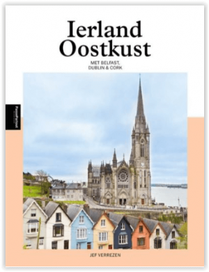
Wandelgids Wild Atlantic Way Ierland - Edicola • 9789493300019
The Wild Atlantic Way Ierland - 2500 km Productomschrijving: Dit boek neemt je mee langs de Oostkust van Ierland. Waar de twee hoofdsteden Belfast en Dublin de vertegenwoordigers zijn van een opgedeeld Ierland: Noord-Ierland met zijn zes counties dat werd ingelijfd bij het Verenigd Koninkrijk en Dublin dat, na een lange strijd, de Republiek Ierland mocht aansturen. Naast het levendige …
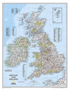
Plano Wandkaart Groot-Brittannië & Ierland 60 x 76 cm - Nat Geo • 9780792250234
Wandkaart Groot-Brittannië & Ierland 60 x 76 cm - Nat Geo Productomschrijving: National Geographic's Classic political map of Britain and Ireland is both an attractive addition to any study or classroom and an informative tool for exploring these fascinating countries. The map features thousands of place names, major highways and roads, airports, ferry routes, bodies of water, and more. Ha…