

Landkaart Wegenkaart Touring Map 3 Epirus - Terrein Maps
Epirus Griekenland vasteland
Korte omschrijving
Wegenkaart Touring Map Epirus - Terrein Maps Productomschrijving: Detailed and updated map of Epirus including a large part of western Macedonia, as well as the islands of Corfu, Paxi, Anti...

Specificaties
- Uitgever: Terrain Editions
- ISBN-13: 9789609456241
- HOOFDCATEGORIEËN: Stadskaart plattegrond
- Activiteiten: Street/Road maps & city plans
- Regio: Griekenland vasteland
- Land: Griekenland
- Schaal: 1:200000
- Taal: Engels
- De Griekse Eilanden: Centraal Griekenland
Volledige omschrijving
Wegenkaart Touring Map Epirus - Terrein Maps
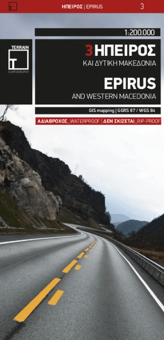
Productomschrijving: Detailed and updated map of Epirus including a large part of western Macedonia, as well as the islands of Corfu, Paxi, Antipaxi, Erikoussa, Mathraki and Othoni. It uses G.I.S. (Geographical Information Systems) technology and the WGS84 reference system, supplemented by a GS87 grid.
Like all of TERRAIN’s large maps, the map of Epirus is printed on Polyart, which is extremely durable against folding and unfolding, does not rip, and is 100% waterproof. Based on field research completed in 2018, this map features all the newest national motorways, their interchanges, toll stations and Motorway Service Stations, as well as Egnatia motorway, its interchanges and vertical axes, and the border crossings.
Also depicted are the region’s tourist attractions, archaeological sites, castles, monasteries, National Parks, caves open to visitors, scenic routes worth exploring, campsites and wineries open to the public. In mountainous regions the ski resorts, mountain refuges and main trails are illustrated.
Presentation of the road network is exceptionally detailed and complete to reflect the scale of the map, and it is arranged in six categories.
Locatie op kaart
Overzichtskaarten

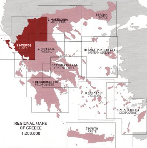
Landkaart Wegenkaarten Regionaal griekenland 1 > 9 - 1:200.000
Landkaart Wegenkaarten Regionaal griekenland 1 > 9 - 1:200.000

Producten op de overzichtskaart
Klik op een product om naar de detailpagina te gaan.
- Landkaart Wegenkaart Touring map 1 Thrace - Terrein Maps
- Landkaart Wegenkaart Touring Map 2 Macedonië - Terrein Maps
- Landkaart Wegenkaart Touring Map 3 Epirus - Terrein Maps
- Landkaart Wegenkaart Touring Map 4 Thessaly - Terrein Maps
- Landkaart Wegenkaart Touring Map 5 Griekenland C. - Terrein Maps
- Landkaart Wegenkaart Touring Map 6 Peloponnesos - Terrein Maps
- Landkaart Wegenkaart Touring Map 7 Kreta - Terrein Maps
- Landkaart Wegenkaart Touring Map 8 Cycladen - Terrein Maps
- Landkaart Wegenkaart Touring Map 9 Dodecanese - Terrein Maps
Artikelen uit dezelfde regio

Landkaart Wegenkaart R1 Cyclades & Argosaronic - Anavasi Ed. • 9789609412599
Wegenkaart Cyclades & Argosaronic - Anavasi Ed. Productomschrijving: Cyclades & Argosaronic Islands R1, is a new map covering the areas of Attica with the Argosaronic islands of Salamina, Aegina, Ydra and Poros and all the Cyclades islands, printed on 2 sides with overlap. A very useful map, especially for island-hoppers, with short text for each island presenting the main monuments, o…
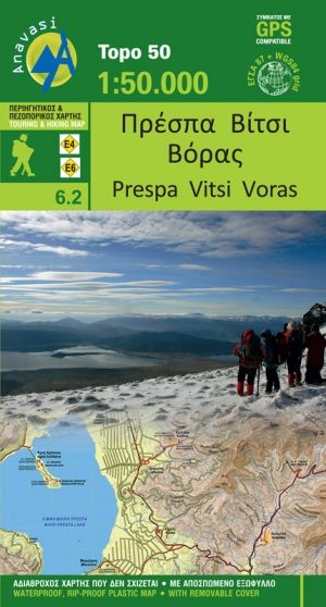
Wandelkaart 6.2 - Lake Prespa - Vitsi Mountains - Anavasi • 9789609412278
Topografische Wandelkaart Lake Prespa - Vitsi Mountains Productomschrijving: Prespa is de naam van twee zoetwatermeren in Zuidoost-Europa, gedeeld door Albanië, Griekenland, en de Republiek Macedonië. Het gebied bevat drie nationale parken, die liggen in Albanië, Griekenland en de Republiek Macedonië. De grootste stad in de regio Prespa Meren is Resen in de Republiek Macedonië. In 2014, we…
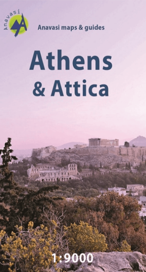
Stadskaart Plattegrond Athene - Anavasi Ed. • 9789609412322
Stadskaart Athene - Anavasi Productomschrijving: Central Athens on a handy size street plan, ideal for your city explorations! The map includes the entire center of Athens from Areos park to the Acropolis and the Panathinaikos Stadium, Keramikos and Megaron concert hall. There is the entire road network, Metro and Tram stations as well as the important monuments and archeological site…

Landkaart Wegenkaart Touring Map 2 Macedonië - Terrein Maps • 9789609456258
Wegenkaart Touring Map Macedonië - Terrein Maps Productomschrijving: Detailed and updated map of Central Macedonia including, naturally, the popular tourist region of Halkidiki and Mount Athos. It uses G.I.S. (Geographical Information Systems) technology and the WGS84 reference system, supplemented by a GS87 grid. Like all of TERRAIN’s large maps, the map of Macedonia is printed on Polyar…

Wandelkaart 3.2 - 4.2 Pindosgebergte Zuid - Anavasi • 9789609412186
Topografische Wandelkaart 3.2 - 4.2 - Pindosgebergte Zuid Omvat: Peristeri - Kakarditsa - Tzoumerka - Pindos Epirus Productomschrijving: Zuid-Pindos behandelt het westen en het zuidelijke deel van de prefectuur. In het westen, op de grenzen met Ioannina prefectuur zijn de hoogste toppen Aspra Litharia (1823m) en Katara (1705m). In het Zuiden zijn er de Lakmos bergen (2295 m), Tzoumerk…