
Landkaart Wegenkaart West & Midden-Westen Australië NP's - Hema
Cape Range National Park - Mandurah - Kalgoorlie

Korte omschrijving
Wandelkaarten Western Australia en Mid Western Australië van Hema Maps. Ideaal voor tochten in Australië.
Landkaart West & Midden-Westen Australië - Hema Produductomschrijving: A regional map of Mid West Western Australia that covers from Cape Range National Park south to Mandurah and as far as...

Specificaties
- Uitgever: Hema Maps
- ISBN-13: 9321438002109
- HOOFDCATEGORIEËN: Wegenkaart - Landkaart
- Activiteiten: Wandelen, Hiking & Trekking
- Regio: Mid Western Australië, Western Australia
- Land: Australië
- Schaal: 1:1250000
- Editie: 4
- Taal: Engels
- De Australische Regio's: Western Australia
Volledige omschrijving
Landkaart West & Midden-Westen Australië - Hema
Produductomschrijving: A regional map of Mid West Western Australia that covers from Cape Range National Park south to Mandurah and as far as Kalgoorlie at a scale of 1:1,250,000 that has camping areas, national parks, fuel supplies and facility symbols marked on the map. On the reverse is region-specific touring information for Wildflower country, Goldfields, Batavia Coast, Geraldton to Kalbarri, Gascoyne and the Outback Coast, Carnarvon and the Blowhole Coast as well as the Great Eastern Highway, with detailed inset maps for Cape Range National Park, Kalbarri National Park, Francois Peron National Park, Kennedy Range National Park and Mount Augustus National Park also included.
Also featured are the Top 10 4WD Tracks, which include the Holland Track, Cave Hill Circuit, Jaurdi Station, Mount Elvire, Mundaring Powerlines Track, Stockyard Gully & Leseur National Park, Greenough River, Steep Point, Peron Peninsula and Kennedy Range National Park. Each track has a grading, map reference, permits and fees, distances, contact details, things to do and warnings.
KEY FEATURES:
- Inset Maps
- National parks
- Camping areas
- Fuel Supplies
- GPS surveyed roads and tracks
- What to see and do
Locatie op kaart
Artikelen uit dezelfde regio
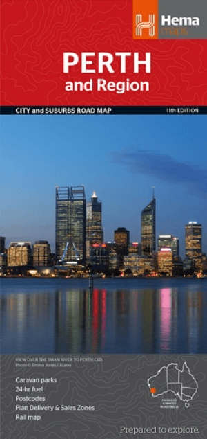
Stadskaart plattegrond Perth & omgeving - Hema Maps • 9781925195163
Stadskaart Perth & omgeving - Hema Productomschrijving: Perth CBD, City & Suburbs Map A map that has the Perth suburbs (1:80,000) and Perth city (1:15,000) maps on one side and the Perth region (1:750,000) and Fremantle (1:20,000) maps on the other. Included is a rail network map of Perth as well as points of interest and accommodation for both Fremantle and Perth. Perth is one of …
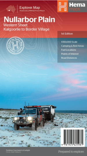
Landkaart Wegenkaart Explorer Map Nullarbor Plain - Western Map • 9781925625981
Explorer Map Nullarbor Plain Western Map - Hema Productomschrijving: This map is part of Hema's new Nullarbor Plain Map Series and covers the area from Kalgoorlie to Border Village and its surrounds. Truly one of the worlds great adventure drives, Australia's semi-arid Nullarbor Plain stretches some 1,256 kilometres (781 miles) via the Eyre Highway and links the cities of Adelaide and…
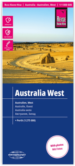
Landkaart Wegenkaart Australië West - Reise Know How • 9783831774739
Wegenkaart West Australië - Reise Know How Productomschrijving: Reis Know-How-kaarten (wereldkaart-projectreeks) zijn gemakkelijk te lezen, waterdichte en zeer duurzame reiskaarten die speciaal zijn ontworpen voor dagelijks gebruik op de weg. Omvat: The Northern Territories, Western Australia & Southern Australia. Onze kaarten combineren state-of-the-art, GPS-compatibele cartograf…
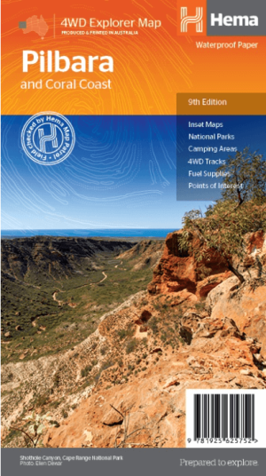
Landkaart Wegenkaart Pilbara & Coral Coast - Hema Maps • 9781925625752
Wegenkaart Pilbara & Coral Coast - Hema Productomschrijving: This regional waterproof map of the Pilbara and Coral Coast is ideal for discovering the northern reaches of Western Australia. The main map covers the diverse marine attractions around Shark Bay, François Peron National Park and the Ningaloo Reef. It also stretches to the gorges of Karijini, lush habitats of Millstream Chichest…

Wegenatlas The Kimberley atlas & guide - Hema Maps • 9781876413644
The Kimberley atlas & guide - Hema Productomschrijving: TOP 10 4WD Trips explored by RON And VIV MOON. This brand new edition of Hema’s best-selling outdoor guidebook for discovering the Kimberley now features 20 atlas pages in a stunning new cartographic style. The book features 10 4WD trips, explored and revised by well-known travel writers Ron and Viv Moon. This edition also no…