

Reisgids Cotswolds AONB - Rough Guides
Stratford-Uppon-Avon- Oxford- Cheltenham- South Cotswolds
Korte omschrijving
Reisgidsen Stratford-upon-Avon, South-East England, Gloucestershire, Egland, Oxfordshire west England, Wiltshire, West England, Somerset South West England, Worcestershire, West England en Warwickshire, West Midlands van Rough Guides. Ideaal voor tochten in England.
The Cotswolds AONB - Rough Guides Productomschrijving: Deze omvat het Cotswolds gebied in zuid-oost Engeland. Een gebied van uitmuntend natuurschoon, of in andere meer lokalere woorden, een ...

Specificaties
- Uitgever: Rough Guides
- ISBN-13: 9781839059728
- HOOFDCATEGORIEËN: Reisgids
- Activiteiten: Toerisme
- Regio: Gloucestershire, Egland, Oxfordshire west England, Somerset South West England, Stratford-upon-Avon, South-East England, Warwickshire, West Midlands, Wiltshire, West England, Worcestershire, West England
- Land: England
- AONB - Area of Outstanding Beauty: Cotswolds AONB
- Editie: 5
- Taal: Engels
- Reeks/Serie: Rough Guides Mini
Volledige omschrijving
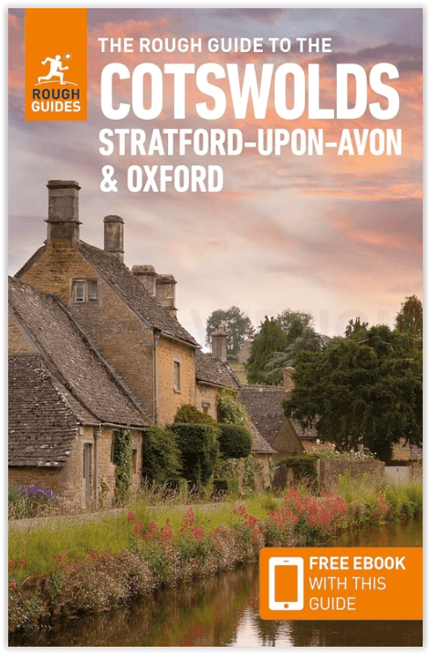
The Cotswolds AONB - Rough Guides
Productomschrijving: Deze omvat het Cotswolds gebied in zuid-oost Engeland. Een gebied van uitmuntend natuurschoon, of in andere meer lokalere woorden, een AONB area, of Area of Outstanding Natural Beauty. Bij ons is dat bijvoorbeeld de westhoek, het Zwin, enz... Deze reisgids biedt u deze regio inclusief de locaties van Stratford-Uppon-Avon & Oxford die aan de uiteinden liggen van dit schitterende mooi landschap.
Omvat: Cheltenham, South Cotswolds, Central Cotswolds, Stratford-Upon-Avon, Oxfordshire Cotswolds, Banbury, North Oxfordshire, Oxford.
Engelse omschrijving: The Rough Guide to the Cotswolds is your definitive handbook to one of the most beautiful and diverse holiday destinations in the UK. From stately homes and wildlife parks to modern art galleries, country walks and adventure sports, there is a section that introduces all of the regions’ highlights.
For every town and village, there are comprehensive and opinionated reviews of all the best places to eat, drink and stay to suit every budget. It brings the Cotswolds bang up-to-date; out go musty tearooms and chintzy B&Bs and in come the best of the area’s new contemporary restaurants, boutique-styled hotels and top-rated country pubs. There’s plenty of practical advice and a special focus on the region’s gastronomy with features on specialist farmers’ markets, local farm shops, gastro-pubs and country restaurants. The guide also comes complete with easy-to-use maps for every area making sure you don’t miss the unmissable.

Artikelen uit dezelfde regio

Wandelkaart OL45 The Cotswolds AONB - OS • 9780319242841
Wandelkaart The Cotswolds AONB - OS Productomschrijving: Wychwood Community Forest, The Centenary Way, Cotswolds Way, D'Arcy Dalton Way, Diamond Way, E2 European Long Distance Path, Gloucestershire Way, Heart of England Way, Macmillan Way, Monarch's Way, Oxfordshire Way, Thames Path, Shakespeare Way, Warden's Way, Winchcombe Way, Windrush Way & Wychavon Way. Omvat: Burford, Chipping C…

Wandelkaart 222 Rugby & Daventry- Warwickshire - OSI • 9780319244159
Wandelkaart Rugby & Daventry - Warwickshire England Omvat ook: Southam & Lutterworth. Productbeschrijving: Kaart nummer 222 in de OS Explorer kaarten reeks is ideaal voor het ontdekken van de midlands rond het gebied van Rugby en Daventry. Er zijn vele recreatieve padente vinden in het gebied, waaronder de Gran Union Canal Walk, samen met de historische stad van Rugby, waar de sport va…
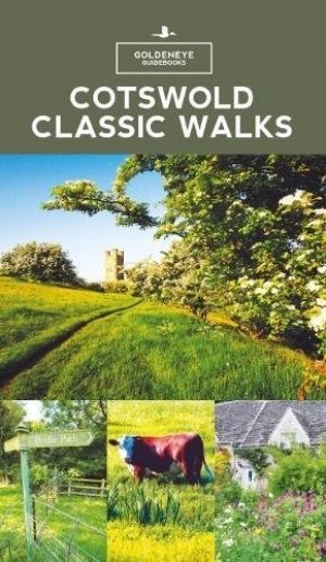
Wandelgids - Cotswold classic walks guidebook - Goldeneye • 9781859652602
Wandelgids Cotswold classic walks guidebook Productomschrijving: In eerste instantie is dit wat de engelsen noemen een AONB, een "Area of Outstanding Natural Beauty" die in deze versie verspreidt word over verschillende regio's aangezien zijn grote. Deze plaats van subliem natuurschoon, ligt deel is, Somerset, deels in wawickshire, deels in Wiltshire, deels in Oxfordshire en is de meest be…
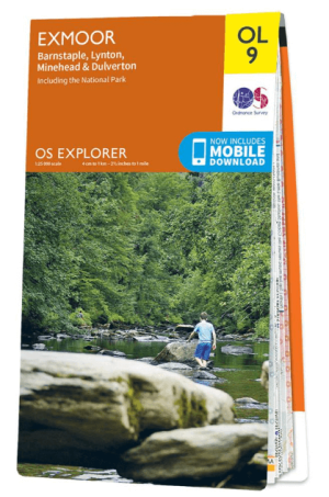
Wandelkaart OL09 Exmoor NP Devon England - OS • 9780319242483
Wandelkaart Exmoor NP Devon England - OS Productomschrijving: Exmoor National Park, Devon England Omvat: Exmoor National Park, Devon England, Barnstaple, Lynton, Minehead & Dulverton. Ontdek de OL-serie van Ordnance Survey: De OL-serie (Outdoor Leisure) van Ordnance Survey is dé referentie voor wie gaat wandelen op de Britse eilanden. Deze topografische kaarten maken deel uit va…

Wandelkaart 169 Cirencester & Swindon - England - OSI • 9780319470411
Wandelkaart Cirencester & Swindon- Gloucestershire Omvat ook: Fairford & Cricklade. Productbeschrijving: Kaart nummer 169 in de OS Explorer kaarten reeks heeft betrekking op een gebied van Cirencester en Fairford met een gedeelte van de Cotswolds AONB in het noorden, tot de North Wessex Downs AONB in het zuiden. De nationale routes van Thames pad en Ridgeway vallen onder deze kaart, sa…