
Reisgids The North Coast 500 - Rough Guides
The Highlands- John O' Groats- Ullapool- Inverness- Black Isle


Korte omschrijving
Reisgidsen Highlands Noord, Schotland en Schotland van Rough Guides. Ideaal voor tochten in Schotland.
The North Coast 500 van Rough Guides Productomschrijving: Omvat de 500 km lange noord Schotse kustlijn thv de Highlands. Een serieus eigenaardige plaats. Engelse omschrijving: Discover t...

Specificaties
- Uitgever: Rough Guides
- ISBN-13: 9781839058530
- HOOFDCATEGORIEËN: Reisgids
- Activiteiten: Toerisme
- Regio: Highlands Noord, Schotland, Schotland
- Land: Schotland
- Editie: 3
- Taal: Engels
- Reeks/Serie: Rough Guides Mini
Volledige omschrijving
The North Coast 500 van Rough Guides
Productomschrijving: Omvat de 500 km lange noord Schotse kustlijn thv de Highlands. Een serieus eigenaardige plaats.
Engelse omschrijving: Discover the North Coast 500 with this compact, entertaining, 'tell it like it is' Rough Guide, packed with invaluable practical guidance and honest expert recommendations across 86 information-packed pages. Whether you plan to take a photo with the John O' Groats sign or visit the fishing town of Ullapool, The Rough Guide to the North coast 500 will show you the top places to explore, sleep, eat and drink along the way.
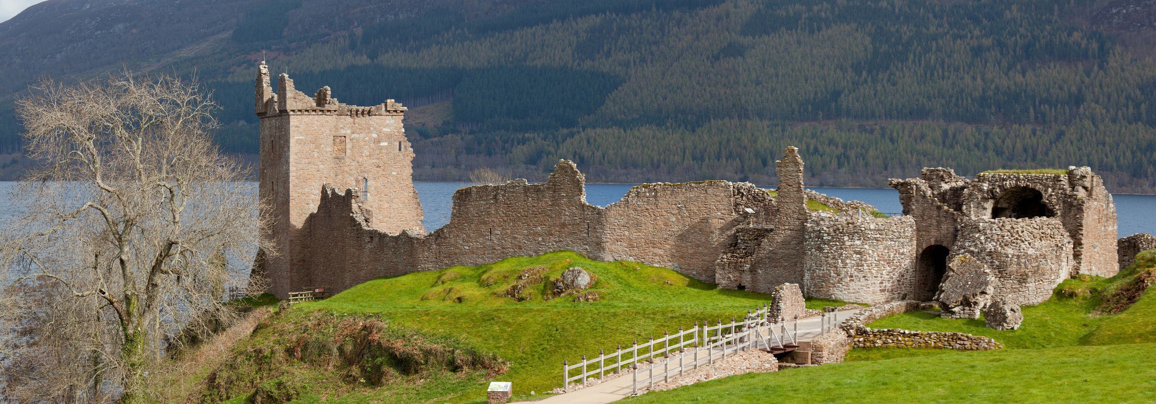
Regional route coverage: provides practical information for every step of this 500-mile loop around Scotland's stunning north Highlands. Routes/regions covered include: Inverness to Black Isle, the road to John O'Groats, Thurso and Lochinver.
Honest independent reviews: written with Rough Guides' trademark blend of humour, honesty and expertise, and independent recommendations you can truly trust, our writers will help you get the most from your trip along the North Coast 500.
Meticulous mapping: Navigate the North Coast 500 without needing to get online - features easy-to-follow colour maps covering the loop.
Fabulous full-colour photography: includes a richness of inspirational colour photography.
Things not to miss: Rough Guides' rundown of the Castle of Mey, Dunrobin Castle, Inchnadamph Bone Caves and Fortrose Cathedral.
Itineraries: carefully planned routes will help you organise your trip, and inspire and inform your on-the-road experiences.
Basics section: includes essential pre-trip information, from when to go, getting there and getting around, to where to stay, eat and drink.
Background information: fascinating 'Moments in History' section provides a pithy overview of prehistory, the Celts and the Picts, Bonnie Prince Charlie's rebellion, the Highland Clearances, and the Highlands today.

Artikelen uit dezelfde regio

Landkaart Wegenkaart 2 Schotland West & Western Isles - OSI • 9780319263747
Wegenkaart Schotland West & Western Isles - OSI Productomschrijving: Plan your journey with this series of road maps from OS. Showing all major road, rail and ferry links as well as settlements and selected features in 1: 250 000 scale, this is the ideal map for planning trips and holidays by car or cycle. OS Road 2 covers: Scotland's west coast, including the Western Isles (Hebrides)…
Wandelgids Scotland's best small mountains - Cicerone • 9781786311320
Scotland's best small mountains - Cicerone Productomschrijving: Wandelgids voor 40 van de beste kleine bergen in Schotland onder 3000 voet (niet-Munros). De beste voor schoonheid, uitzicht, karakter, geschiedenis en locatie, en allemaal geschikt voor wandelaars, de gids verkent heuvels in het uiterste noorden, Torridon, Lochaber, de Great Glen, de Cairngorms, Glencoe, Arrochar, de Trossach…
Reisgids Schotland - Top 10 - DK Eyewitness • 9780241408728
DK Eyewitness TOP 10 - Schotland Omvat: Edinburgh, Glasgow, Grampian and Moray, the Highlands, the West Coast Islands - including the Isle of Skye - Glencoe, the Cairngorms, and the Far North & Orkney and Shetland. Productomschrijving: Beleef het Edinburgh Festival van wereldklasse, maak een tour langs de beste whiskystokerijen, verken historische kastelen en ruige bergen, of geniet va…

Wandelkaart 450 Wick & The Flow Country - OSI • 9780319246931
Wandelkaart Wick & The Flow Country - Northern Highland's Omvat ook: Lybster, Latheron & Dunbeath. Productbeschrijving: OS Explorer kaart 450 behandelt Wick en de Moray Firth, met inbegrip van Lybster, Latheron en Dunbeath. Wick bestaat al sinds ten minste 1266 en heeft 's werelds kortste straat, Ebenezer plaats. De Flow Country is een groot gebied van moerassig, laaggelegen land. De O…
Wandelkaart XT Suilven Highlands Schotlands - Harvey • 9781851374946
Wandelkaart Suilven Highlands Schotlands - Harvey Omvat: Suilven - Stac Pollaidh, Ben More Assynt, Canisp, Cul Mo, Breabag Productomschrijving: Suilven heeft betrekking op een spectaculaire groep van heuvels, die populair zijn bij wandelaars en klimmers, waaronder Stac Pollaidh Quinag, Ben more Assynt. Het kaart omvat de Munros, de Corbetts en de Grahams. Nieuwe generatie HARVEY Su…