

Stadskaart Barcelona city map - Lonely Planet
L'Eixample- Barri Gotic- La Ribera- Ciutat Vella- El Fort Pienc

Korte omschrijving
Stadskaart Barcelona van Lonely Planet Productomschrijving: Duurzaam en waterdicht, met een handige hoes en een makkelijk te vouwen formaat, Lonely Planet Barcelona City Map is uw handige pa...

Specificaties
- Uitgever: Lonely Planet Publications
- ISBN-13: 9781787015296
- HOOFDCATEGORIEËN: Stadskaart plattegrond, Wandelkaart
- Activiteiten: Street/Road maps & city plans, Toerisme
- Regio: Catalonië (Regio) Spanje
- Land: Spanje
- Waterafstotende kaart: Lonely Planet Waterproff maps
- Editie: 2
- Taal: Engels
- Reeks/Serie: Lonely Planet City maps
Volledige omschrijving
Stadskaart Barcelona van Lonely Planet
Productomschrijving: Duurzaam en waterdicht, met een handige hoes en een makkelijk te vouwen formaat, Lonely Planet Barcelona City Map is uw handige paspoort om te reizen met gemak.
Haal meer uit je kaart en je reis met afbeeldingen en informatie over topattracties in de stad, vervoerskaarten, routesuggesties, een uitgebreide index van straten en locaties, en praktische reistips en reisgidsen. Met deze gebruiksvriendelijke, full colour navigatietool in je achterzak kun je echt het hart van Barcelona bereiken, dus begin je reis nu!
Omvat: L'Eixample, Barri Gotic, La Ribera, Ciutat Vella, El Fort Pienc, Vila Olimpica, La Barceloneta, Port Vell, El Raval, Sant Antoni, Poble Sec, Montjuic.
Engelse omschrijving: Durable and waterproof, with a handy slipcase and an easy-fold format, Lonely Planet Barcelona City Map is your conveniently-sized passport to traveling with ease.
Get more from your map and your trip with images and information about top city attractions, transport maps, itinerary suggestions, extensive street and site index, and practical travel tips and directory. With this easy-to-use, full colour navigation tool in your back pocket, you can truly get to the heart of Barcelona, so begin your journey now!
- Durable and waterproof
- Easy-fold format and convenient size
- Handy slipcase
- Full colour and easy-to-use
- Extensive street and site index
- Images and information about top city attractions
- Handy transport maps
- Practical travel tips and directory
- Itinerary suggestions
Covers L’Eixample, Barri Gotic, La Ribera, Ciutat Vella, El Fort Pienc, Vila Olimpica, La Barceloneta, Port Vell, El Raval, Sant Antoni, Poble Sec, Montjuic
Full Map Dimensions: 62.9 cm x 49.5 cm (24.5 in. x 19.5 in.)
Locatie op kaart
Artikelen uit dezelfde regio
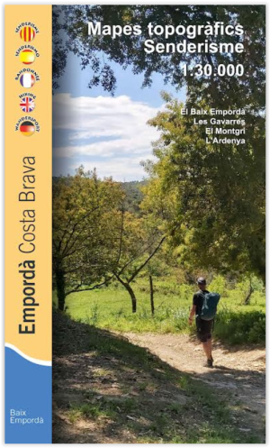
Wandelkaart 20 Baix Empordà - Costa Brava - Ed. Piolet • 9788412565188
Wandelkaart Empordà - Costa Brava - Piolet Productomschrijving: Deze topografische wandelkaart van Editorial Piolet, omvat de vele wandelroutes van de Costa Brava, de zogenaamde kust regio van de regio Catalonië. Topografische wandelkaart met de Costa Brava. Les Gavarres, El Montgrí, L'Ardenya.
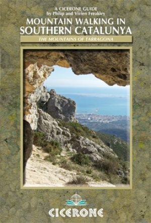
Wandelgids Catalunya - Southern mountain walking - Cicerone • 9781852845827
Wandelgids Catalunya - Southern mountain walking - Cicerone Productomschrijving: Deze handige gids beschrijft 30 idyllische routes voor bergwandelaars van alle capaciteiten in zuidelijk Catalunya, Spanje. De routes bieden verschillende terreinen van kalksteenrotsen over fruitboomgaarden tot kust- en rivierwandelingen. Het beschrijft wandelingen in drie berggebieden rond de rivier Ebre: het…

Wegenkaart Toerismekaart T03-102 Vall de Boi - GeoEstel • 9788495788016
Toerismekaart Vall de Boi - GeoEstel Productomschrijving: Ontdek Spanje met de Toeristische wegenkaarten van de Spaanse kustgenieden van GeoEstel Plan je een roadtrip door Spanje of wil je gewoon goed voorbereid op pad? De regionale wegenkaarten van uitgever GeoEstel zijn dé betrouwbare gids voor elke reiziger. Deze kaarten zijn speciaal ontworpen voor wie méér wil dan alleen snelwegen…

Wandelkaart GR11 Senda Pirenaica - Centrale pyreneeën - Alpina • 9788418735844
Wandelkaart GR11 Senda Pirenaica - Centrale pyreneeën - Alpina Productomschrijving: Omvat de complete GR-11 wandelroute van de Atlantische Oceaan, ter hoogte van Spaans Baskenland, in de provincie Guipuzcoa in Euskadi, tot aan Cap de Creus op het einde van Catalonië aan de kust van de Middellandse Zee. Het product bestaat uit 21 topografische kaarten op een schaal van 1:50.000, inclusi…

Landkaart Wegenkaart 148 Costa Daurada - Michelin • 9782067218208
Wegenkaart Costa Daurada - Michelin Productomschrijving: De wegenkaarten in de Zoom-collectie worden gekenmerkt door de hoge nauwkeurigheid van hun gedetailleerde schaal, die bijzonder geschikt is voor gebieden met een hoog toeristisch of wegennet, met inbegrip van nieuwe ontwikkelingen en industriële zones. Naast de duidelijkheid, betrouwbaarheid en actualiteit die de kenmerken zijn van …