
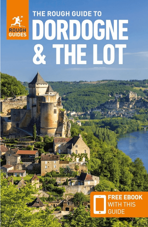
The Rough Guide to Dordogne & the Lot - Rough Guides
Campsites - Restaurants - Cycling trails - Canoeing

Korte omschrijving
Reisgidsen Nouvelle-Aquitaine, Frankrijk van Rough Guides. Ideaal voor tochten in Frankrijk.
Reisgids Dordogne & the Lot - Rough Guides Productomschrijving: The Rough Guide to the Dordogne & the Lot is the definitive guide to this beautiful and beguiling region of France, with clea...

Specificaties
- Uitgever: Rough Guides
- ISBN-13: 9781835291771
- HOOFDCATEGORIEËN: Reisgids
- Activiteiten: Toerisme
- Regio: Nouvelle-Aquitaine, Frankrijk
- Land: Frankrijk
- Departement: Dordogne (24), Lot (46)
- Editie: 8
- Taal: Engels
- Reeks/Serie: Rough Guides Mini
Volledige omschrijving
Reisgids Dordogne & the Lot - Rough Guides
Productomschrijving: The Rough Guide to the Dordogne & the Lot is the definitive guide to this beautiful and beguiling region of France, with clear maps, expert accounts, inspirational itineraries and fascinating historical and cultural information. Discover the Dordogne and the Lot’s many highlights, with stunning photography and comprehensive coverage of everything from the prettiest villages and best markets to the amazing prehistoric cave art and the region’s sumptuous wines.
Detailed practical advice covers what to see and do in the Dordogne and the Lot, from cycling trails and hiking routes to canoeing down the rivers, and you can rely on up-to-date descriptions of the best restaurants and bars for all budgets, as well as the lowdown on where to stay, from campsites and chambers d’hôte to sumptuous château hotels.
Artikelen uit dezelfde regio

Wandelkaart 1931 SB Rochechouart & St-Junien - IGN • 9782758546016
Wandelkaart 1931 SB - Rochechouart & St-Junien Productomschrijving: Rochechouart & St-Junien zijn gemeentes in het Franse departement Haute-Vienne in de regio Nouvelle-Aquitaine. De plaats maakt deel uit van het arrondissement Rochechouart. Productomschrijving: Tussen 2014 en 2018 vernieuwt IGN haar volledige collectie serie blauw. Een nieuwe toewijzing voor optimale leesbaarheid, met …

Wandelkaart 1542 SB Mont-de-Marsan & St-Sevre - IGN • 9782758541271
Wandelkaart 1542 SB - Mont-de-Marsan & St-Sevre Productomschrijving: Mont-de-Marsan & St-Sevre zijn gemeentes in het Franse departement Landes in de regio Nouvelle-Aquitaine. De plaats zou zijn gesticht door Peter van Marsan en maakt deel uit van het arrondissement Mont-de-Marsan. Een gloed nieuwe reeks IGN kaarten: de oude versies met de Est en Ouest (E en O aanduiding achter het numm…

Wandelkaart Néouvielle- Gavarnie- Midi de Bigorre - Ed. Alpina • 9788470110931
Néouvielle- Gavarnie- Midi de Bigorre - Alpina Productomschrijving: Het Parc National des Pyrénées strekt zich uit over meer dan 100 kilometer, over 6 valleien, 2 departementen (Pyrénées-Atlantiques en Hautes-Pyrénées) en twee regio's (Nouvelle Aquitaine en Occitanie). Deze twee kaarten hebben betrekking op het oostelijke deel van het park, met inbegrip van het Réserve Naturelle Nationale …
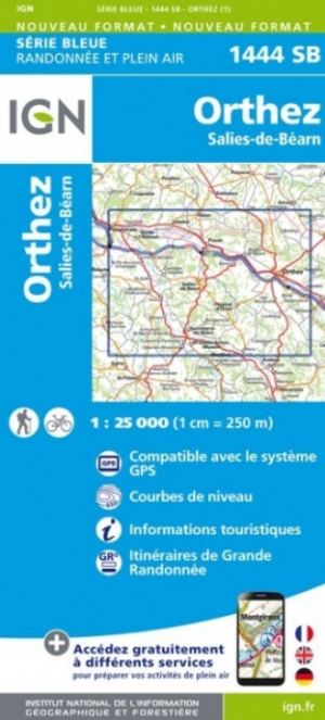
Wandelkaart 1444 SB Orthez & Salies-de-Béarn - IGN • 9782758541196
Wandelkaart 1444 SB - Orthez & Salies-de-Béarn - Nieuwe versie Productomschrijving: Orthez & Salies-de-Béarn zijn gemeentes in het Franse departement Pyrénées-Atlantiques in de regio Nouvelle-Aquitaine. De plaats maakt deel uit van het arrondissement Pau. Het ligt aan de rivier de Gave. Een gloed nieuwe reeks IGN kaarten: de oude versies met de Est en Ouest (E en O aanduiding achter he…
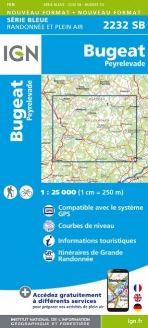
Wandelkaart 2232 SB Bugeat & Peyrelevade - IGN • 9782758542988
Wandelkaart 2232 SB - Bugeat & Peyrelevade Productomschrijving: Bugeat is een gemeente in het Franse departement Corrèze in de regio Nouvelle-Aquitaine. De plaats maakt deel uit van het arrondissement Ussel. De naam is afgeleid van het Keltische woord Buga, dat heide betekent. De plaatsnaam Bugacum werd later vervormd tot Bugeat. Een gloed nieuwe reeks IGN kaarten: de oude versies me…