

Via-Ferrata gids 80 Snowdonia scrambles Wales - Cicerone
Snowdon - Glyders - Carneddau - Eifionydd

Korte omschrijving
Snowdonia scrambles Wales - Cicerone Productomschrijving: Gids voor 80 gegradeerde klimroutes in Snowdonia, Noord-Wales. Deze herziene editie van Steve Ashton's klassieke gids is geïllustree...

Specificaties
- Uitgever: CICERONE Press
- ISBN-13: 9781786311368
- HOOFDCATEGORIEËN: Klimgidsen
- Activiteiten: Wandelen, Hiking & Trekking
- Regio: Gwynedd, Wales
- Land: Wales
- Nationale parken: Snowdonia NP, Wales UK
- Editie: 4
- Taal: Engels
Volledige omschrijving
Snowdonia scrambles Wales - Cicerone
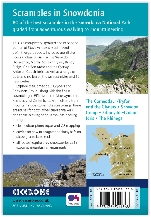
Productomschrijving: Gids voor 80 gegradeerde klimroutes in Snowdonia, Noord-Wales. Deze herziene editie van Steve Ashton's klassieke gids is geïllustreerd met foto topos, en bevat 16 routes geselecteerd door de updaters, evenals alle klassieke routes waaronder de Snowdon Horseshoe, North Ridge of Tryfan, Bristly Ridge en de Cneifion en Cyfrwy Arêtes.
Engelse omschrijving: Guidebook to 80 graded scrambles in Snowdonia, North Wales. This revised edition of Steve Ashton's classic guide is illustrated with photo topos, and includes 16 routes selected by the updaters, as well as all the classic routes including the Snowdon Horseshoe, North Ridge of Tryfan, Bristly Ridge and the Cneifion and Cyfrwy Arêtes.
Seasons:
Early March to the end of October.
Centres:
Most of the routes are in a small area, with Llanberis and the Ogwen Valley making good bases. The southern routes are accessed from Dolgellau.
Difficulty:
Caters for both adventurous walkers and those seeking challenging mountaineering outings. There is a clear progression of difficulty. Grade 1 routes could be tackled by fit and experienced hill walkers. Grade 3 routes require knowledge of rope work and sound mountaineering judgement. All require a head for heights.
Must See:
Includes all the classic routes such as the Snowdon Horseshoe with Crib Goch traverse, all the best routes on Tryfan, Bristly Ridge, Cneifion Arête, the Llech Ddu Spur, Nantlle Ridge and the Clogwyn y Person Arête. This revised edition covers an expanded area including Cyfrwy Arête on Cadair Idris and routes on Rhinog Fach and Fawr.

Locatie op kaart
Artikelen uit dezelfde regio

Wandelkaart Snowdonia NP South - Harvey maps • 9781851374694
Wandelkaart Snowdonia NP South - Harvey maps Productomschrijving: De belangrijkste bergen van zuidelijke Snowdonia op één kaart, met inbegrip van Cadair Idris, de Arans en de Arenig Fawr afgedrukt op polyethyleen - duurzaam, scheurvast en 100% waterdicht. Deze serie is gemaakt in samenwerking met de British Council voor alpinisme en bevat kleurarcering voor gemakkelijke identificatie van d…

Wandelkaart OL17 Snowdon & Conwy Valley area - OSI • 9780319475478
Wandelkaart Snowdon & Conwy Valley area - OSI Productomschrijving: Kaart nummer OL17 in de OS Explorer kaartenserie is de ideale kaart om het berglandschap van Snowdon te verkennen. In dit gebied, beroemd om zijn fantastische wandelroutes, ligt de hoogste berg van Wales. Neem een van de zes goed in kaart gebrachte routes naar de top van Mount Snowdon en geniet van het uitzicht! - Snowdon h…

Wandelkaart OL018 Harlech- Porthmadog & Y Bala - OS • 9780319263587
Wandelkaart Harlech- Porthmadog & Y Bala - OS Productomschrijving: Harlech- Porthmadog & Y Bala, Gwynedd Wales UK. Omvat: Harlech- Porthmadog & Y Bala & parts of Snowdonia National Park Ontdek de OL-serie van Ordnance Survey: De OL-serie (Outdoor Leisure) van Ordnance Survey is dé referentie voor wie gaat wandelen op de Britse eilanden. Deze topografische kaarten maken deel uit v…

Wandelgids Snowdonia North - Cicerone • 9781852849849
Wandelgids - Snowdonia North - Cicerone Productomschrijving: De wandelingen in deze gids liggen in het noordelijke deel van Snowdonia National Park, dicht bij Conwy, Betws-y-Coed, Llanberis en Porthmadog. De meeste wandelingen duren twee uur, anderen variëren van twee tot zes uur. Elke wandeling heeft een bijbehorende Ordnance Survey 1: 25.000 of 1: 50.000 kaart met de route, eenvoudig te …

Wandelkaart 125 Bala & Lake Vyrnwy- Gwynedd - OSI • 9780319262238
Wandelkaart Bala & Lake Vyrnwy- Gwynedd Wales - OSI Productbeschrijving: Kaart nummer 125 is een all purpose kaart vol gepakt met informatie om u het gebied te helpen leren kennen. De 204 Landranger-kaarten bestrijken het land. Elke kaart heeft een oppervlakte van 40 km door 40 km (25 mijl door 25 mijl) en zoals andere kaarten van Ordnance Survey, National Grid-vierkanten worden verstrekt…