

Wandelgids 084 Pathfinder Berkshire- Buckinghamshire- Oxfordshire
Cotswolds- Chilterns- Thames Valley and Chilterns- Banbury


Korte omschrijving
Wandelgidsen South East England, Oxfordshire west England, Berkshire South West England en Buckinghamshire, England van Ordnance Survey. Ideaal voor tochten in England.
Wandelgids Berkshire- Buckinghamshire- Oxfordshire Productomschrijving: This all-new Pathfinder® Guide covering the ceremonial counties of Berkshire, Buckinghamshire and Oxfordshire feature...

Specificaties
- Uitgever: Ordnance Survey
- ISBN-13: 9780319092279
- HOOFDCATEGORIEËN: Wandelgids
- Activiteiten: Wandelen, Hiking & Trekking
- Regio: Berkshire South West England, Buckinghamshire, England, Oxfordshire west England, South East England
- Land: England
- Taal: Engels
- Reeks/Serie: Outstanding Circular Walks, Pathfinder Series, OS
- De Engelse Graafschappen: Berkshire, Buckinghamshire, Oxfordshire
Volledige omschrijving
Wandelgids Berkshire- Buckinghamshire- Oxfordshire
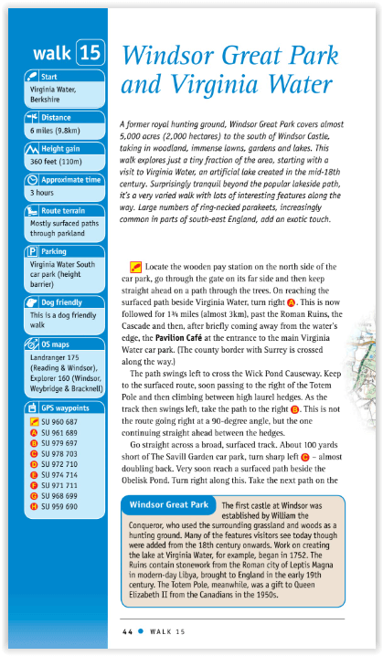
Productomschrijving: This all-new Pathfinder® Guide covering the ceremonial counties of Berkshire, Buckinghamshire and Oxfordshire features 28 outstanding circular walks across all three counties, offering more wonderful Pathfinder® routes in the south-central Midlands between the Cotswolds (PF 6 Cotswolds) and the Chilterns (PF 25 Thames Valley and Chilterns). In this welcome addition to the Pathfinder® series, walks range from Banbury in the north to Newbury in the south and, west to east, from Milton-under-Wychwood to Virginia Water.
Follow brand-new rambles exploring the Chilterns, the Thames Valley, the North Wessex and Berkshire Downs, the Kennet valley, the Oxfordshire Cotswolds and over the Oxfordshire Plain.
Walks are set out with the shorter routes at the front of the book, generally progressing through half-day walks to the longer distance outings near the end of the guide. Walks are professionally authored and depicted with GPS waypoints, Ordnance Survey maps and beautiful photography.

Artikelen uit dezelfde regio

Wandelkaart 191 Banbury Bicester & Chipping Norton- OSI • 9780319470633
Wandelkaart Banbury- Bicester & Chipping Norton England Omvat ook: Brackley. Productbeschrijving: Kaart nummer 191 in de OS Explorer kaarten reeks heeft betrekking op een gedeelte van de Cotswolds en de Macmillan Way en Wychwood way recreatieve paden. Hoogtepunten van het gebied zijn de steden van Banbury, Chipping Norton, Brackley en Bicester, en de Oxford Canal Walk. De OS Explorer k…

Wandelkaart OL07 English Lakes South Eastern area - OSI • 9780319475874
Wandelkaart English Lakes - South Eastern area - OSI Productomschrijving: De zuidoostelijke hoek van Lakeland is de thuisbasis van enkele van de bekendste plaatsen en steden van de regio. Lake Windermere - met een lengte van maar liefst 10,5 mijl - is het grootste van de Engelse meren en een perfecte plek voor allerlei watersporten en wandelingen langs het meer. Mis de kans niet om het uit…

Fietsgids South East Mountain Biking - Vertebrate Publ. • 9781906148058
South East Mountain Biking - Vertebrate Productomschrijving: South East Mountain Biking Ridgeway & Chilterns (Hills AONB) is a compact guide to some of the best mountain bike riding in Southern England, west of London. This guide contains 24 routes from 18 to 38 kilometres long. Each is described with easy-to-follow directions and details of distance, grade of difficulty, refreshment stops…

Wandelgids The Ridgeway National Trail - Trailblazer Publ. • 9781912716524
The Ridgeway National Trail - Trailblazer Publications Productomschrijving: The Ridgeway: Avebury to Ivinghoe Beacon - 53 maps - 46 colour photos, - 4pp colour flower & butterfly guide An 87-mile (139km) National Trail, the Ridgeway runs from Overton Hill near Avebury in Wiltshire to Ivinghoe Beacon in Buckinghamshire. Part of this route follows Britain’s oldest road, dating b…

Landkaart Wegenkaart Planning map Oxford & The Cotswolds • 9781788688499
Wegenkaart Planning map Oxford & The Cotswolds Productomschrijving: From Lonely Planet, the world's leading travel guide publisher Durable and waterproof, with a handy slipcase and an easy-fold format, Lonely Planet's Oxford & the Cotswolds Planning Map helps you get around with ease. Get more from your map and your trip with images and information about top attractions. - Durable and …