

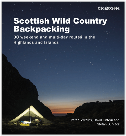
Wandelgids Scottish Highlands & Islands Wild country backpacking
Een wel heel aparte Schotse Highland gids met 30 routes

Korte omschrijving
Wandelgidsen Northern Schotland, Highlands & Islands van CICERONE Press. Ideaal voor tochten in Schotland.
Scottish Highlands & Islands Wild country backpacking Productomschrijving: 30 wilde en uitdagende rugzak-/trekkingroutes in Schotland. De routes zijn bedoeld voor ervaren en zelfredzame back...

Specificaties
- Uitgever: CICERONE Press
- ISBN-13: 9781852849047
- HOOFDCATEGORIEËN: Wandelgids
- Activiteiten: Wandelen, Hiking & Trekking
- Regio: Northern Schotland, Highlands & Islands
- Land: Schotland
- Editie: 1
- Taal: Engels
- Iconische Bergketens van Europa: De Schotse Highlands
Volledige omschrijving
Scottish Highlands & Islands Wild country backpacking
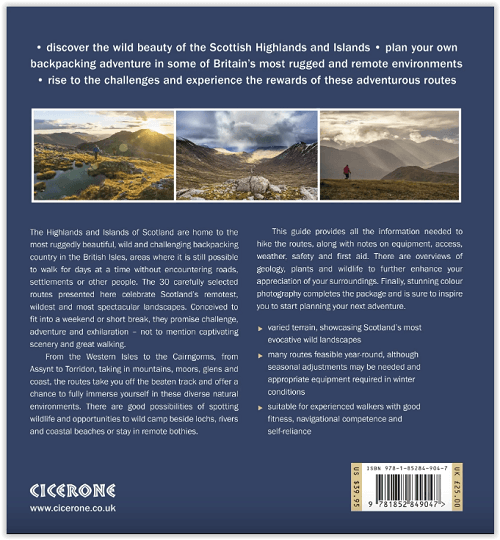
Productomschrijving: 30 wilde en uitdagende rugzak-/trekkingroutes in Schotland. De routes zijn bedoeld voor ervaren en zelfredzame backpackers en zijn tussen 2 en 4 dagen lang en doorkruisen de meest afgelegen, wilde en spectaculaire landschappen die de Highlands te bieden hebben. Het boek behandelt ook uitrusting, toegang, het weer, veiligheid en eerste hulp.
Omvat: Fort William, Kingussie, Achnashellach, Dalwhinnie, Amhuinnsuidhe, Kinlochbervie, Kylesku, Killilan, Tomintoul, Blair Atholl, Brèinis, Kinuachdrachd, Kinloch, Sligachan, Morvich and Crask.
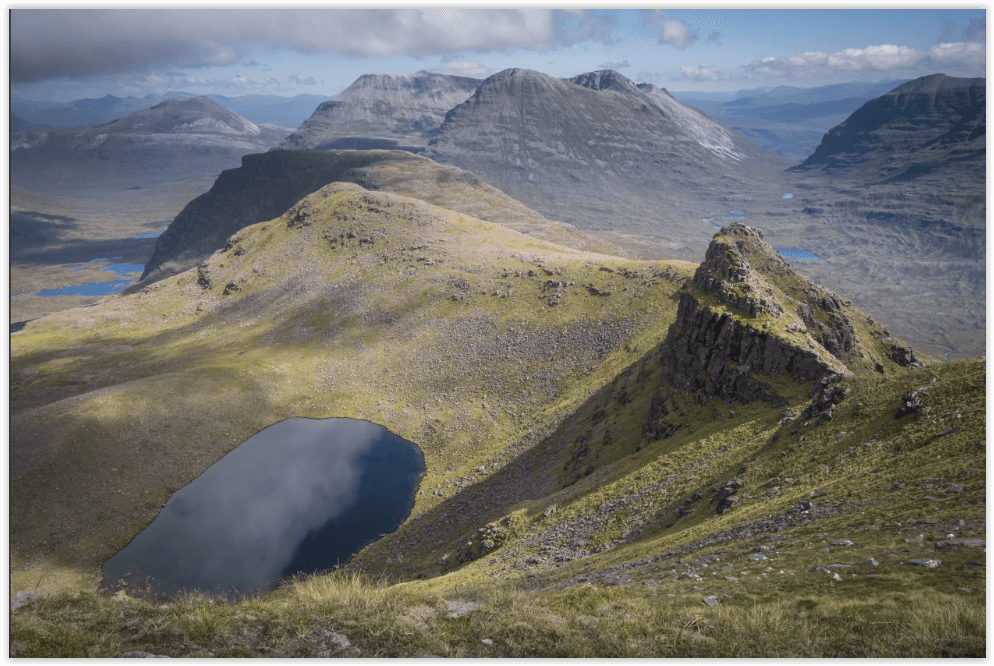
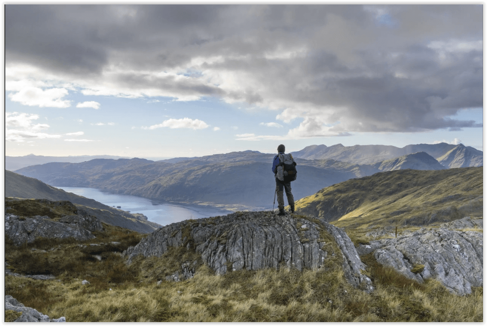
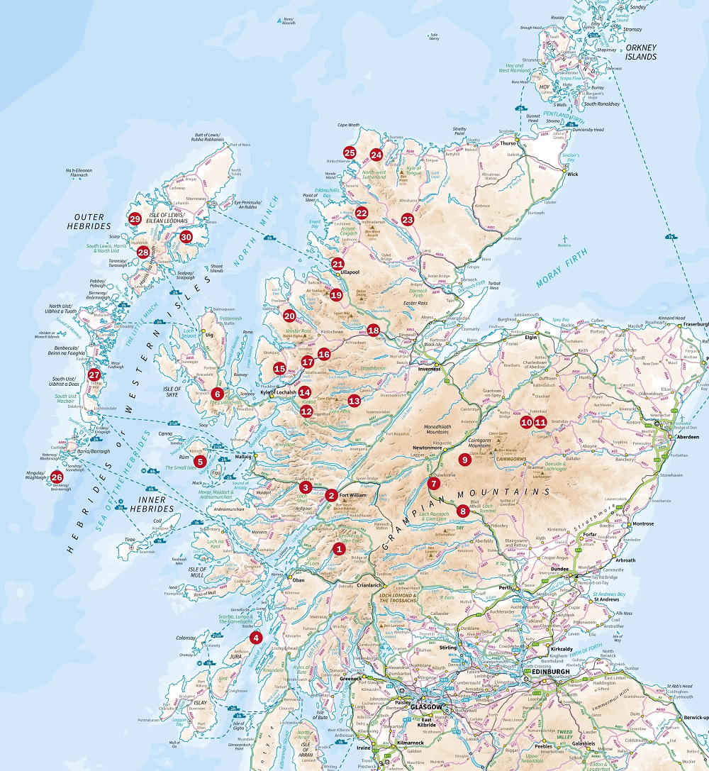
Engelse omschrijving: Stunning backpacking routes in the Scottish Highlands and Islands are covered in this inspiring, large-format guidebook. 30 routes are described, ranging from 1-4 days, with most suitable for a long weekend. The routes are divided between the Western Highlands and Inner Hebrides, the Central and Eastern Highlands, the Northwest Highlands, the Far North and the Outer Hebrides. They are suitable for those with the experience and self-reliance to navigate proficiently and stay safe in an environment which can easily become inhospitable. Although some routes visit bothies, most call for at least one night's wild camping.
Each walk includes overview data, route description and 1:100,000 mapping and they are illustrated with stunning photos. An introduction offers background information about the Highlands' rich geology, plants and wildlife and the historical and cultural context of Scotland's 'wilderness'. There is also practical information on preparing for an incursion and advice for those looking to expand their experience of wild-country backpacking.
The Highlands and Islands of Scotland are home to the most ruggedly beautiful, expansive and challenging backpacking country in the British Isles. This is a land for those who love open spaces, vast horizons, and the domination of nature.
Artikelen uit dezelfde regio
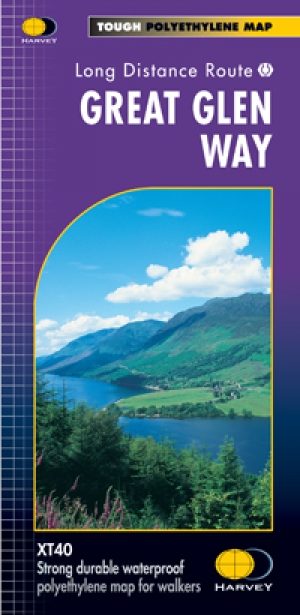
Wandelkaart Great Glen Way - Schotland - Harvey maps • 9781851374632
Wandelkaart Great Glen Way - Schotland - Harvey maps Productomschrijving: Toont de gehele route op één vel. 117km (73 mijl) van Fort William tot Inverness via Fort Augustus langs het Caledonisch Kanaal en de noordelijke oever van Loch Ness. Informatie over het vinden van accommodatie, camping, voedsel. Routebeschrijving naar het start van de route. Nieuwe generatie HARVEY Superwalker,…

Wandelkaart Assynt & Coigach - Harvey Maps • 9781851376278
Mountain map Assynt & Coigach - Harvey Maps Productomschrijving: Een echte waterdichte, gloednieuwe Bergwandelkaart van de Sutherland regio in Schotland. Omvat: Quinag, Suilven, Stac Pollaidh, Cul Mor en Ben More Assynt. - Gedetailleerde kaart voor bergwandelaars en klimmers van de spectaculaire toppen van Assynt. - Uitgebreid kaartbeeld van Stac Pollaidh, Suilven en Quinag op …

Wandelkaart XT40 Loch Monar Schotish Highlands - Harvey maps • 9781851375943
Wandelkaart XT40 - Loch Monar Schotish Highlands - Harvey maps Productomschrijving: Loch Monar is vers water lak gelokaliseerd op de kop van Glen Strathfarrar, de Westelijke Schotse Highlands. De lak word gevoed door enkele bergranden, die langs de heuvels in de omgeving liggen. Deze regio is ook wat afgelegen, evenzeer als de Affric lak. Deze kaart biedt u een goed overzicht met ingeteken…

Wandelkaart XT40 Glen Affric Schotland - Harvey maps • 9781851375950
Wandelkaart XT40 - Glen Affric Schotland - Harvey maps Productomschrijving: Dit is een natuurreservaat ten Zuid-Oosten van het dorpje Cannich in de Schotse Highlands, een dikke 24 km ten westen van Loch Ness. De river de Afric loopt langs dit reservaat, en loopt langs Loch Affric en Loch Beinn a Mheadhoin. Een kleine grint-weg brengt tot bij het einde van de Loch Beinn a Mheadhoin, maar vo…
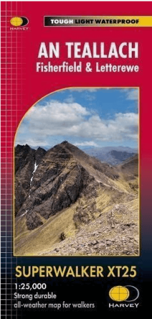
Wandelkaart XT25 An Teallach- Fisherfield & Letterewe - Harvey Maps • 9781851376797
Wandelkaart An Teallach- Fisherfield & Letterewe - Harvey Maps Productomschrijving: An Teallach is een bergtop gelegen in de Noordelijke Highland's in Schotland. Daarbij gelegen is het bosgebied van Fisherfield en het Letterewe meer. Samen zorgen die voor een uitstekend wandelgebied. Engelse omschrijving: More than a map - an essential piece of equipment. This new generation HARVEY Sup…