

Wandelgids The John Muir Way - Rucksack Readers
From Helensburgh on the Clyde to Dunbar on the North Sea

Korte omschrijving
Wandelgidsen Highlands, Schotland van RUCKSACK READERS. Ideaal voor tochten in Schotland.
The John Muir Way - Rucksack Readers Productomschrijving: De John Muir Way loopt over een afstand van 215 km, van kust tot kust door centraal Schotland, van Helensburgh aan de Clyde naar Dun...

Specificaties
- Uitgever: RUCKSACK READERS
- ISBN-13: 9781913817145
- HOOFDCATEGORIEËN: Wandelgids
- Activiteiten: Wandelen, Hiking & Trekking
- Auteur: Sandra Bardwell
- Regio: Highlands, Schotland
- Land: Schotland
- Historische wandelroutes: John Muir Way (215 km)
- Lange afstand wandelroutes: John Muir Way (215 km)
- Schaal: 1:75000
- Editie: 3
- Taal: Engels
- Iconische Wandelroutes: John Miur Trail, California USA
- Scotlands Great Trails: John Mir Way
Volledige omschrijving
The John Muir Way - Rucksack Readers
Productomschrijving: De John Muir Way loopt over een afstand van 215 km, van kust tot kust door centraal Schotland, van Helensburgh aan de Clyde naar Dunbar aan de Noordzee. De route is net zo geschikt voor fietsers als voor wandelaars en kan van kust tot kust worden afgelegd of in delen - tien voor wandelaars of vijf voor fietsers.
De aantrekkingskracht van de John Muir Way reikt van de Charles Rennie Mackintosh-architectuur van Helensburgh via de schilderachtige grandeur van Loch Lomond, langs twee beroemde kanalen en langs het verbazingwekkende Falkirk Wheel, naast de Romeinse Antonijnse Muur, langs Linlithgow Palace, Blackness Castle en de Forth Bridges naar de hoofdstedelijke glorie van Edinburgh. De tocht gaat langs de Firth of Forth naar North Berwick en vervolgens landinwaarts om te eindigen in Dunbar met zijn kasteelruïne en het geboortehuis van John Muir.
Engelse omschrijving: The John Muir Way runs for 134 miles (215 km) coast-to-coast across central Scotland, from Helensburgh on the Clyde to Dunbar on the North Sea. The route is as suitable for cyclists as for walkers, and it can be tackled as a coast-to-coast expedition or in sections - ten for walkers or five for cyclists.
The John Muir Way's appeal ranges from the Charles Rennie Mackintosh architecture of Helensburgh through the scenic grandeur of Loch Lomond, along two famous canals and past the amazing Falkirk Wheel, beside the Roman Antonine Wall, passing Linlithgow Palace, Blackness Castle and the Forth Bridges to the capital glories of Edinburgh. It goes beside the Firth of Forth to reach North Berwick, then heads inland to finish at Dunbar with its ruined castle and the John Muir birthplace.
This guidebook contains all you need to plan and enjoy your holiday on a bike or on foot:
• background on John Muir's life, the canal heritage and wildlife
• detailed description of the route from west to east
• summary of each section showing distance, terrain and food/drink stops
• details of visitor attractions and side-trips
• planning information for travel by car, train, bus or plane
• detailed mapping of the John Muir Way on 20 pages
• in full colour, with 100 photographs
• further route options, diversions and an unofficial shortcut
• rainproof paper throughout.

Artikelen uit dezelfde regio

Wandelkaart 432 Black Isle & Munlochy - OSI • 9780319246641
Wandelkaart Black Isle- Munlochy - Highland Schotland Productbeschrijving: Fortrose, Cromarty & Dingwall. 432 / Black Isle, Munlochy, Highland, Schotland - OS Explorer kaart 432 toont de Black Isle, inclusief de Moray Firth, Cromarty Firth en Dingwall. het beste deel van dit eiland Blask is dat het niet daadwerkelijk een eiland is, hoewel de toegang beperkt is van Noord en Zuid. Het is…

Wandelkaart 16 Lairg & Loch Shin Highland's Schotland - OSI • 9780319261149
Wandelkaart Lairg & Loch Shin - Highland's Schotland Productbeschrijving: OS Landranger kaart 16 toont het gebied rondom Loch Shin en Loch Naver, met inbegrip van Lairg en Oykel Bridge. Er valt ook een fietsroute langs de schilderachtige A836 te vinden, of u kunt een bezoek brengen aan de watervallen van Shin. De OS Landranger kaarten reeks heeft betrekking op Groot-Brittannië met 204…

Wandelkaart 34 Fort Augustus- Loch Ness Highland's - OSI • 9780319261323
Wandelkaart Fort Augustus- Loch Ness - Highland's Schotland Omvat ook: Glen Albyn & Glen Roy Productomschrijving: Gelegen aan de zuidelijke oevers van de wereld beroemde Loch Ness, is Fort Augustus het charmante dorp omgeven door iconische Schotse landschap. OS Landranger kaart 34 toont de Great Glen way die de regio passeert waardoor het een aantrekkelijke uitvalsbasis word voor wande…
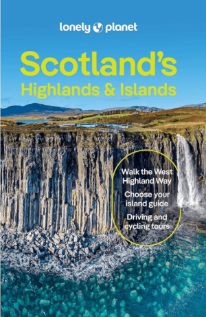
Reisgids Scotland's Highlands & Islands - Lonely Planet • 9781837583607
Reisgids Scotland's Highlands & Islands - Lonely Planet Productomschrijving: The hills and glens and wild coastline of Scotland’s Highlands and islands offer the ultimate escape – one of the last corners of Europe where you can discover genuine solitude. Lonely Planet will get you to the heart of Scotland’s Highlands & Islands, with amazing travel experiences and the best planning advice: …
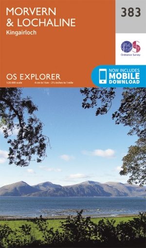
Wandelkaart 383 Morvern & Lochaline- Highland's - OSI • 9780319246290
Wandelkaart Morvern & Lochaline - Highland's Schotland Omvat ook: Kingairloch Productomschrijving: Kaart nummer 383 in de OS Explorer kaarten reeks omvat Morvern en Lochaline in de Schotse Hooglanden. Dit schilderachtige gebied beschikt over vele Lochs om te verkennen, met inbegrip van Loch Linnhe, Loch Aline en Loch Sunart samen met de Sound of Mull. De steden Kingairloch en Lochaline…