

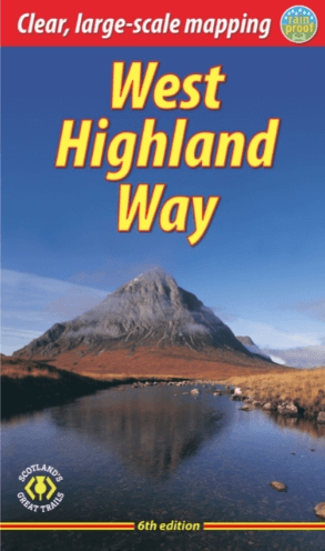
Wandelgids The West Highland Way - Rucksack Readers
Milngavie nabij Glasgow tot Fort William door de Schotse Hoogland
Korte omschrijving
Wandelgidsen Schotland en Highlands, Schotland van RUCKSACK READERS. Ideaal voor tochten in Schotland.
The West Highland Way - Rucksack Readers Productomschrijving: Een unieke intussen zeer gekende wandelroute, die loopt van Milngavie nabij Glasgow tot Fort William door de Schotse Hooglanden....

Specificaties
- Uitgever: RUCKSACK READERS
- ISBN-13: 9781913817213
- HOOFDCATEGORIEËN: Wandelgids
- Activiteiten: Wandelen, Hiking & Trekking
- Auteur: Jacquetta Megarry
- Regio: Highlands, Schotland, Schotland
- Land: Schotland
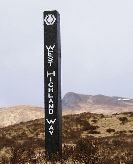
- Lange afstand wandelroutes: West Highland Way, Schotland (152 km)
- Schaal: 1:40000
- Editie: 6
- Taal: Engels
- Iconische Bergketens van Europa: De Schotse Highlands
- Iconische Wandelroutes: West Highland Way, Schotland
- Scotlands Great Trails: West Highland Way
Volledige omschrijving
The West Highland Way - Rucksack Readers
Productomschrijving: Een unieke intussen zeer gekende wandelroute, die loopt van Milngavie nabij Glasgow tot Fort William door de Schotse Hooglanden. De Route is 152 km Lang en brengt u door de westelijke Highlands van Schotland starten vanuit Glasgow.
Engelse omschrijving: The West Highland Way is the first, and remains the most famous, of Scotland’s Great Trails, running for 96 miles (152 km) through superb scenery. Starting from the outskirts of Glasgow, it passes through Scotland’s first National Park, along the shores of beautiful Loch Lomond, across the wilds of Rannoch Moor and ends in Fort William at the foot of Ben Nevis, Britain’s highest mountain.
This sixth edition of our popular rucksack-friendly guidebook has been revised for 2024 with various updates. It has more pages, fresh photos and mapping at 1:42,500 on 15 pages, yet thanks to robust perfect binding (glued and sewn) it’s lightweight, pocketable and rainproof.
This guidebook contains all you need to plan and enjoy the West Highland Way:
• the Way in sections, with summaries of distance, terrain and altitude profiles
• where to find food and drink, accommodation and how to split the distance
• concise background on the history, heritage and wildlife
• information about side-trips, e.g. Ben Lomond and Ben Nevis
• background information about Loch Lomond, history, habitats and wildlife
• planning information for travel by car, train, bus or plane
• 15 pages with detailed route mapping at 1:42,500
• in full colour, with 120 photographs
• rucksack-friendly and on rainproof paper.

Locatie op kaart
Artikelen uit dezelfde regio
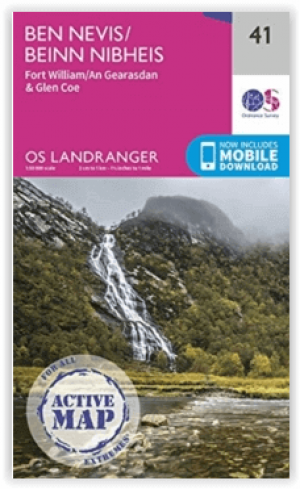

Wandelkaart L041 Ben Nevis- Fort William & Glen Coe - OSI • 9780319475836
Wandelkaart Ben Nevis- Fort William & Glen Coe - Schotland Productomschrijving: Waterbestendige kaart nummer 41 in de OS Landranger-kaartenserie is de ideale kaart om te gebruiken bij het plannen van een reis naar de regio Ben Nevis, Fort William en Glen Coe. Het gebied staat bekend om zijn spectaculaire uitzichten en uitdagende wandelingen. Het is een geweldige plek om er even helemaal tu…
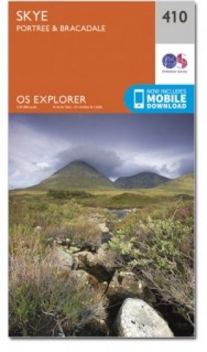
Wandelkaart 410 Isle of Skye- Portree & Bracadale - OSI • 9780319246450
Wandelkaart Isle of Skye - Portree & Bracadale Schotland Productbeschrijving: Kaart nummer 410 in de OS Explorer kaarten reeks is de perfecte kaart om te gebruiken bij een bezoek aan "The Isle of Skye". Het eiland is een geweldige locatie voor een ontspannen vakantie of voor een actieve vakantie voor fietsers, wandelaars en outdoor enthousiastelingen. Hoogtepunten van het gebied zijn onder…
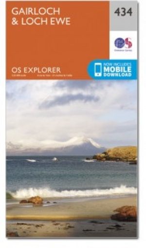
Wandelkaart 434 Gailoch & Loch Ewe Schotland - OSI • 9780319472866
Wandelkaart Gailoch & Loch Ewe - Highland's Schotland Productbeschrijving: Kaart nummer 434 in de OS Explorer kaarten reeks is ideaal voor het ontdekken van de noordwestelijke Highland's van Schotland rond Gairloch. Een populaire toeristische bestemming dankzij de talloze nabijgelegen lochs. Met deze kaart kunt u dit gebied in groot detail verkennen en er het meeste uit halen uit je wandel…
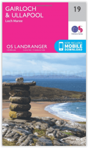
Wandelkaart 19 Gairloch & Ullapool- Highland's Schotland - OSI • 9780319261170
Wandelkaart Gairloch & Ullapool - Highland's Schotland Productbeschrijving: De schilderachtige vissersdorpjes van Gairloch en Ullapool verschijnen op deze OS Landranger kaart 19, en bieden een schat aan spectaculaire landschappen van Wester Ross. Kijk uit voor dolfijnen, bruinvissen en zeehonden en zorg voor een bezoek aan de enorme Loch Maree en een Teallach berg voor prachtige uitzicht. …

Mountainbikegids Southern & Central Schotland - Cicerone • 9781852847470
Mountainbikegids - Southern & Central Schotland - Cicerone Productomschrijving: Deze gids beschrijft 21 mountainbike fietsroutes in Midden- en Zuid-Schotland, met inbegrip van de 7 stanes in Dumfries and Galloway, en crosscountry-routes in de Campsie Fells, Pentland Hills en Lammermuirs, de Galloway Forest, Tweed Vallei, Cheviots en Lowther Hills. De routes variëren van 16,5 tot 66km inged…