
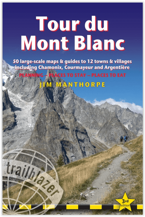
Wandelgids Tour du Mont Blanc - Trailblazer Publ.
Tour du Mont Blanc omcirkelt het massief
Korte omschrijving
Wandelgidsen Franse Alpen en Auvergne-Rhône-Alpes, Frankrijk van Trailblazer Publications. Ideaal voor tochten in Frankrijk.
Wandelgids Tour du Mont Blanc - Trailblazer Publ. Productomschrijving: Met zijn hoogte van 4810 meter is de Mont Blanc de hoogste berg van West-Europa en een van de beroemdste bergen ter wer...

Specificaties
- Uitgever: Trailblazer Publications
- ISBN-13: 9781912716364
- HOOFDCATEGORIEËN: Wandelgids
- Activiteiten: Wandelen, Hiking & Trekking
- Auteur: Jim Manthorpe
- Regio: Auvergne-Rhône-Alpes, Frankrijk, Franse Alpen
- Land: Frankrijk
- Departement: Haute-Savoie (74)
- Toepasselijke bergketen: Mont-Blanc massief, Frankrijk
- Lange afstand wandelroutes: Tour de Mont Blanc, Frankrijk (168 km)
- Editie: 3
- Taal: Engels
- Iconische Bergketens van Europa: De Mont Blanc
- Iconische Wandelroutes: Tour de Mont Blanc TMB, Frankrijk
Volledige omschrijving
Wandelgids Tour du Mont Blanc - Trailblazer Publ.
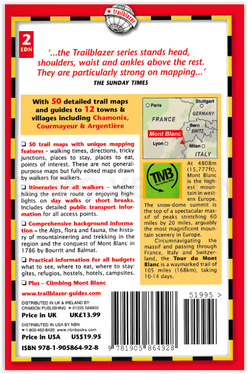
Productomschrijving: Met zijn hoogte van 4810 meter is de Mont Blanc de hoogste berg van West-Europa en een van de beroemdste bergen ter wereld. De route (168 km) die het massief omcirkelt, door Frankrijk, Italië en Zwitserland, is de populairste langeafstandswandeling in Europa. Inclusief stadsgidsen voor Chamonix, Courmayeur & Argentière en negen andere dorpen op de route. De Tour du Mont Blanc omcirkelt het massief en loopt door Frankrijk, Italië en Zwitserland. Het is een bewegwijzerde route van 168 km die 10-14 dagen duurt.
Heeft u bepaalde vragen over deze route, wij bij Bibliotrek hebben deze route al afgelopen, en kunnen dan ook bepaalde raad bieden. mail of neem gerust contact op met ons met uw vragen.
Engelse omschrijving: At 4810m (15,781ft), Mont Blanc is the highest mountain in western Europe, and one of the most famous mountains in the world. The trail (105 miles, 168km) that circumnavigates the massif, passing through France, Italy and Switzerland, is the most popular long distance walk in Europe. Includes town guides to Chamonix, Courmayeur & Argentière and nine other villages on the route. Plus – arranging a climb to the summit.Circumnavigating the massif and passing through France, Italy and Switzerland, the Tour du Mont Blanc is a waymarked trail of 105 miles (168km), taking 10-14 days.
- Text and maps now in the new two-colour Trailblazer style
- The most popular long distance walk in Europe
- All-in-one guide – Trailblazer guides include practical information not usually found in walking guides: reviews of places to stay, places to eat.
- The largest scale walking maps available.
Tour du Mont Bllanc
Plus – Climbing Mont Blanc
Planning – Places to stay – Places to eat
64 trail maps and town plans 12 stage maps with profiles and 2 overview maps
Photos 60 colour photos; colour flower guide
120mm x 180mm

Artikelen uit dezelfde regio

Wandelkaart 3430 ET(R) La Clusaz - Grand-Bornand - IGN • 9782758552307
Wandelkaart La Clusaz - Grand-Bornand - IGN Productomschrijving: La Clusaz & Grand-Bornand, liggen bij de bekende Chaine d'Aravis in de departementen Savoie en Haute-Savoie. La Clusaz ligt in de Aravis, aan de voet van de Col des Aravis. In de omgeving ligt Annecy en het daarbijhorende Lac d'Annecy. Omvat: Scionzier, Saint-Jean-de-Sixt, Saint-Pierre-en-Faucigny, Saint-Sixt, Amancy, Mon…

Wandelkaart 3131 SB Meyzieu- Crémieu & Montluel - IGN • 9782758541752
Wandelkaart 3131 SB - Meyzieu- Crémieu & Montluel Productomschrijving: Meyzieu, Crémieu & Montlue zijn gemeente in het Franse departement Métropole de Lyon in de regio Auvergne-Rhône-Alpes. De plaats maakt deel uit van het arrondissement Lyon. Desciptive produits: Une nouvelle cartographie pour une lisibilité optimale, avec une meilleure précision géométrique et des informations touris…
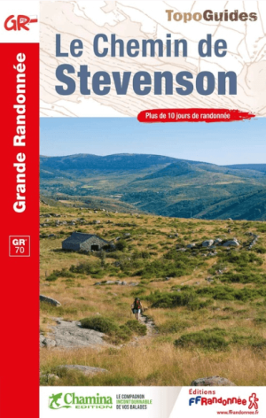
Wandelgids 0700 Chemin de Stevenson GR70 - FFR • 9782751413452
Wandelgids Chemin de Stevenson GR70 - FFR Productomschrijving: 270 kilometer wandelen op de GR® 70 van Puy-en-Velay naar Alès in de voetsporen van Robert Louis Stevenson. Deze emblematische route verbindt het zuiden van het Centraal Massief met de Cevennen door een reeks gevarieerde en kleurrijke landschappen: de vulkanische hoogvlaktes van de Velay, landbouwgrond, de valleien van de Ceve…

Wandelgids Lac de l'Isère les plus belles randonnées - Ed. Glénat • 9782344042328
Wandelgids Lac de l'Isère les plus belles randonnées - Ed. Glénat Productomschrijving: De mooiste wandelingen naar de bergmeren in de Isère. Voor wandelaars, fotografen, vissers en natuurliefhebbers biedt een meer een pluspunt in de toch al wonderbaarlijke bergwereld. Iedereen vindt aan de oevers wat hij zoekt: rust, schoonheid, ontdekking, ontspanning ... Franse omschrijving: Les plus…
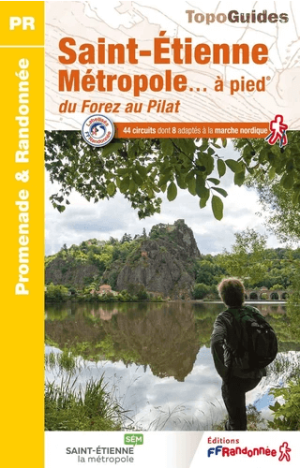
Wandelgids P426 St.Etiènne Métropole à pied - FFR • 9782751412820
Wandelgids St.Etiènne Métropole à pied - FFRP Productomschrijving: 32 routes voor alle niveaus door de wandelgebieden die deel uitmaken van de agglomeratie St Etienne: Monts du Forez, Gorges de la Loire, Parc naturel régional du Pilat, Monts du Lyonnais en Coteaux du Jarez. Er zijn ook rondleidingen door deze voormalige mijnstad, nu een designcentrum, op slechts een uur van Lyon.